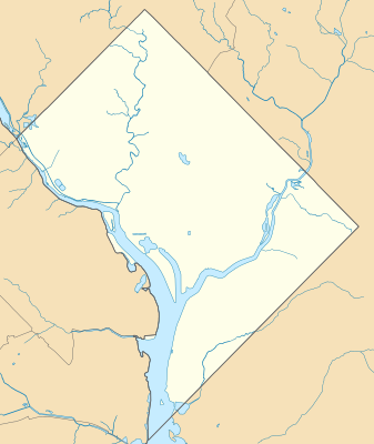
ಟೆಂಪ್ಲೇಟು:Location map USA District of Columbia
ಗೋಚರ
| name | the District of Columbia | |||
|---|---|---|---|---|
| border coordinates | ||||
| 39.00 | ||||
| -77.13 | ←↕→ | -76.90 | ||
| 38.79 | ||||
| map center | 38°53′42″N 77°00′54″W / 38.895°N 77.015°W | |||
| image | USA District of Columbia location map.svg
| |||

| ||||
| name | the District of Columbia | |||
|---|---|---|---|---|
| border coordinates | ||||
| 39.00 | ||||
| -77.13 | ←↕→ | -76.90 | ||
| 38.79 | ||||
| map center | 38°53′42″N 77°00′54″W / 38.895°N 77.015°W / 38.895; -77.015 | |||
| image | USA District of Columbia location map.svg
| |||

| ||||