
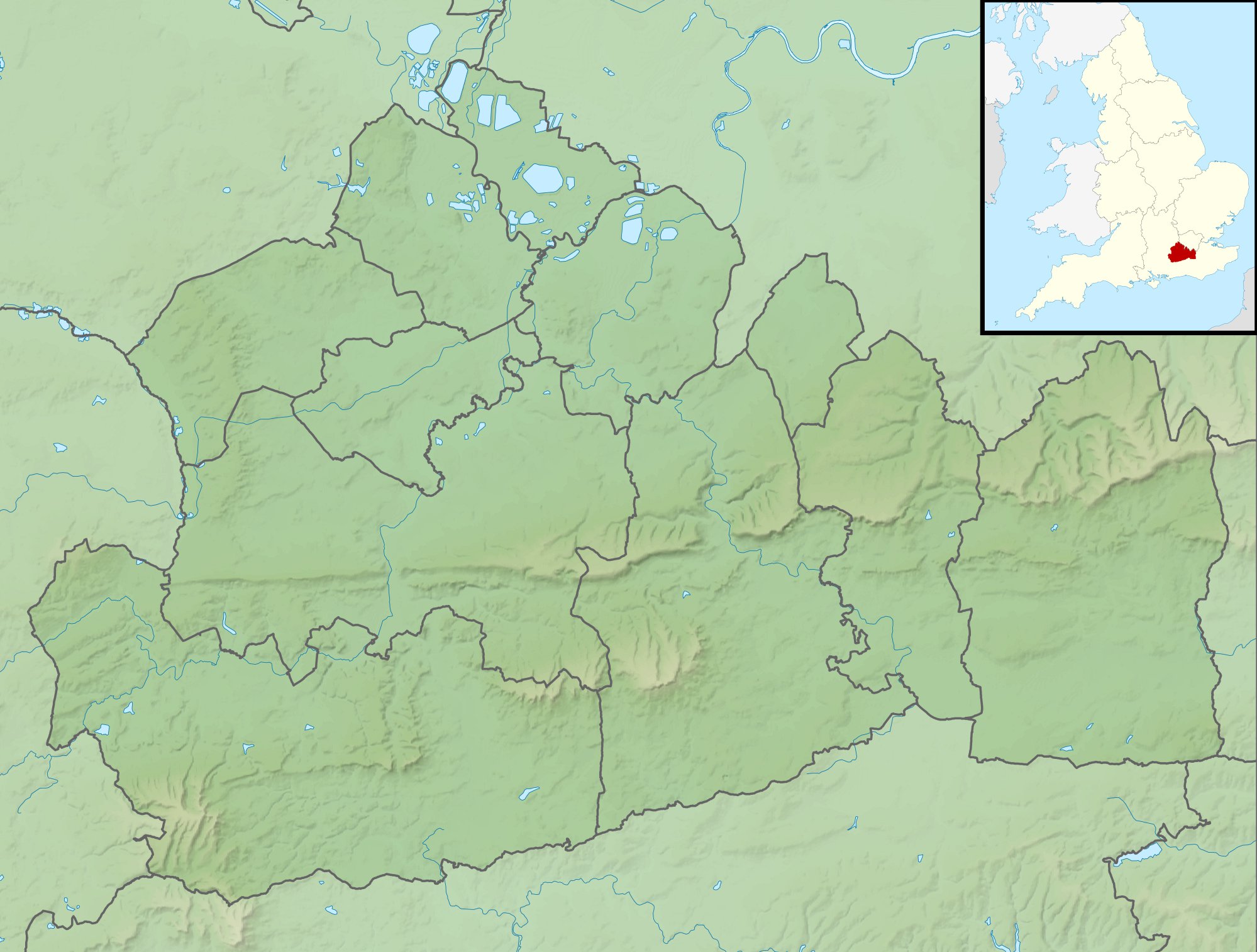
ಚಿತ್ರ:Surrey UK relief location map.jpg
ಈ ಮುನ್ನೋಟ ಗಾತ್ರ:೭೯೨ × ೬೦೦ ಪಿಕ್ಸೆಲ್ಗಳು. ಇತರ ರೆಸಲ್ಯೂಶನ್ಗಳು: ೩೧೭ × ೨೪೦ ಪಿಕ್ಸೆಲ್ಗಳು | ೬೩೪ × ೪೮೦ ಪಿಕ್ಸೆಲ್ಗಳು | ೧,೦೧೪ × ೭೬೮ ಪಿಕ್ಸೆಲ್ಗಳು | ೧,೨೮೦ × ೯೬೯ ಪಿಕ್ಸೆಲ್ಗಳು | ೧,೯೯೯ × ೧,೫೧೪ ಪಿಕ್ಸೆಲ್ಗಳು.
ಮೂಲ ಕಡತ (೧,೯೯೯ × ೧,೫೧೪ ಚಿತ್ರಬಿಂದು, ಫೈಲಿನ ಗಾತ್ರ: ೩೨೦ KB, MIME ಪ್ರಕಾರ: image/jpeg)
ಈ ಫೈಲು ವಿಕಿಮೀಡಿಯ ಕಾಮನ್ಸ್ನಲ್ಲಿ ಇರುವುದು. ಅಲ್ಲಿನ ವಿವರಣೆ ಪುಟವನ್ನೇ ಕೆಳಗೆ ತೋರಿಸಲಾಗಿದೆ. ಕಾಮನ್ಸ್ ಕೃತಿಸ್ವಾಮ್ಯತೆಯಿಂದ ಮುಕ್ತ ಫೈಲುಗಳ ಒಂದು ಆಗರ. ಅಲ್ಲಿ ನೀವೂ ಸಹಕರಿಸಬಹುದು. |
| ವಿವರ |
Relief map of Surrey, UK. Equirectangular map projection on WGS 84 datum, with N/S stretched 160% Geographic limits:
|
| ದಿನಾಂಕ | |
| ಆಕರ |
|
| ಕರ್ತೃ | Nilfanion, created using Ordnance Survey data |
| ಅನುಮತಿ (ಈ ಕಡತವನ್ನು ಮರುಬಳಕೆ ಮಾಡಲಾಗುತ್ತಿದೆ) |
ಈ ಕಡತ ಕ್ರಿಯೇಟಿವ್ ಕಾಮನ್ಸ್ Attribution
-Share Alike 3.0 Unported ಪರವಾನಗಿ ಹೊಂದಿದೆ. ವೈಶಿಷ್ಟ್ಯ: Contains Ordnance Survey data © Crown copyright and database right
|
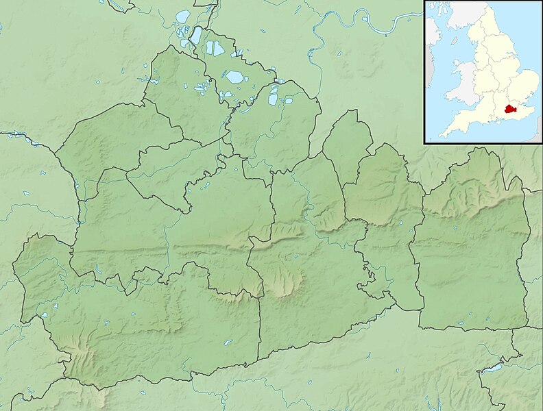
| ಇತರೆ ಆವೃತ್ತಿಗಳು | File:Surrey UK district map (blank).svg - Blank map |
.svg)
ಕಡತದ ಇತಿಹಾಸ
ದಿನ/ಕಾಲ ಒತ್ತಿದರೆ ಆ ಸಮಯದಲ್ಲಿ ಈ ಕಡತದ ವಸ್ತುಸ್ಥಿತಿ ತೋರುತ್ತದೆ.
| ದಿನ/ಕಾಲ | ಕಿರುನೋಟ | ಆಯಾಮಗಳು | ಬಳಕೆದಾರ | ಟಿಪ್ಪಣಿ | |
|---|---|---|---|---|---|
| ಪ್ರಸಕ್ತ | ೦೭:೨೭, ೨೯ ನವೆಂಬರ್ ೨೦೧೧ | | ೧,೯೯೯ × ೧,೫೧೪ (೩೨೦ KB) | Nilfanion | {{Information |Description=Relief map of Surrey, UK. Equirectangular map projection on WGS 84 datum, with N/S stretched 160% Geographic limits: *West: 0.87W *East: 0.08E *North: 51.50N *South: 51.05N |Source=[[w:Ordnance Survey|Ordnance Sur |
ಕಡತ ಬಳಕೆ
ಈ ಕೆಳಗಿನ ಪುಟವು ಈ ಚಿತ್ರಕ್ಕೆ ಸಂಪರ್ಕ ಹೊಂದಿದೆ:
ಜಾಗತಿಕ ಕಡತ ಉಪಯೋಗ
ಈ ಕಡತವನ್ನು ಕೆಳಗಿನ ಬೇರೆ ವಿಕಿಗಳೂ ಉಪಯೋಗಿಸುತ್ತಿವೆ:
- ar.wikipedia.org ಮೇಲೆ ಬಳಕೆ
- bg.wikipedia.org ಮೇಲೆ ಬಳಕೆ
- ceb.wikipedia.org ಮೇಲೆ ಬಳಕೆ
- en.wikipedia.org ಮೇಲೆ ಬಳಕೆ
- Hog's Back
- Box Hill, Surrey
- Leith Hill
- BMW PGA Championship
- Surrey Hills National Landscape
- Windlesham Moor
- Wentworth Senior Masters
- Wraysbury Reservoir
- Staines Reservoirs
- Queen Mary Reservoir
- Bessborough Reservoir
- Knight Reservoir
- Island Barn Reservoir
- Queen Elizabeth II Reservoir
- Botley Hill
- Module:Location map/data/United Kingdom Surrey/doc
- Silent Pool
- Gibbet Hill, Hindhead
- King George VI Reservoir
- Guildford Synagogue
- User:Mertbiol/Template:Surrey Hills AONB
- Colley Hill
- 2011 BMW PGA Championship
- 2012 BMW PGA Championship
- 2013 BMW PGA Championship
- 2014 BMW PGA Championship
- Blackwell Farm
- 2015 BMW PGA Championship
- Silvermere
- North West Surrey Synagogue
- 2016 BMW PGA Championship
- 2017 BMW PGA Championship
- 1956 Canada Cup
- 2018 BMW PGA Championship
- Module:Location map/data/United Kingdom Surrey
- Module:Location map/data/Surrey
- 2019 BMW PGA Championship
- User:Mertbiol/sandbox
- 2020 BMW PGA Championship
ಈ ಫೈಲ್ನ ಹೆಚ್ಚು ಜಾಗತಿಕ ಬಳಕೆಯನ್ನು ವೀಕ್ಷಿಸಿ.