
ಚಿತ್ರ:North Yorkshire UK relief location map.jpg

ಈ ಮುನ್ನೋಟ ಗಾತ್ರ:೮೦೦ × ೫೮೨ ಪಿಕ್ಸೆಲ್ಗಳು. ಇತರ ರೆಸಲ್ಯೂಶನ್ಗಳು: ೩೨೦ × ೨೩೩ ಪಿಕ್ಸೆಲ್ಗಳು | ೬೪೦ × ೪೬೬ ಪಿಕ್ಸೆಲ್ಗಳು | ೧,೦೨೪ × ೭೪೫ ಪಿಕ್ಸೆಲ್ಗಳು | ೧,೨೮೦ × ೯೩೨ ಪಿಕ್ಸೆಲ್ಗಳು | ೧,೯೯೯ × ೧,೪೫೫ ಪಿಕ್ಸೆಲ್ಗಳು.
ಮೂಲ ಕಡತ (೧,೯೯೯ × ೧,೪೫೫ ಚಿತ್ರಬಿಂದು, ಫೈಲಿನ ಗಾತ್ರ: ೪೬೬ KB, MIME ಪ್ರಕಾರ: image/jpeg)
ಈ ಫೈಲು ವಿಕಿಮೀಡಿಯ ಕಾಮನ್ಸ್ನಲ್ಲಿ ಇರುವುದು. ಅಲ್ಲಿನ ವಿವರಣೆ ಪುಟವನ್ನೇ ಕೆಳಗೆ ತೋರಿಸಲಾಗಿದೆ. ಕಾಮನ್ಸ್ ಕೃತಿಸ್ವಾಮ್ಯತೆಯಿಂದ ಮುಕ್ತ ಫೈಲುಗಳ ಒಂದು ಆಗರ. ಅಲ್ಲಿ ನೀವೂ ಸಹಕರಿಸಬಹುದು. |
| ವಿವರ |
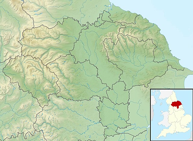
Relief map of North Yorkshire, UK. Equirectangular map projection on WGS 84 datum, with N/S stretched 170% Geographic limits:
|
| ದಿನಾಂಕ | |
| ಆಕರ |
|
| ಕರ್ತೃ | Nilfanion, created using Ordnance Survey data |
| ಅನುಮತಿ (ಈ ಕಡತವನ್ನು ಮರುಬಳಕೆ ಮಾಡಲಾಗುತ್ತಿದೆ) |
ಈ ಕಡತ ಕ್ರಿಯೇಟಿವ್ ಕಾಮನ್ಸ್ Attribution
-Share Alike 3.0 Unported ಪರವಾನಗಿ ಹೊಂದಿದೆ. ವೈಶಿಷ್ಟ್ಯ: Contains Ordnance Survey data © Crown copyright and database right
|
| ಇತರೆ ಆವೃತ್ತಿಗಳು | File:North Yorkshire UK district map (blank).svg - Blank map |
.svg)
ಕಡತದ ಇತಿಹಾಸ
ದಿನ/ಕಾಲ ಒತ್ತಿದರೆ ಆ ಸಮಯದಲ್ಲಿ ಈ ಕಡತದ ವಸ್ತುಸ್ಥಿತಿ ತೋರುತ್ತದೆ.
| ದಿನ/ಕಾಲ | ಕಿರುನೋಟ | ಆಯಾಮಗಳು | ಬಳಕೆದಾರ | ಟಿಪ್ಪಣಿ | |
|---|---|---|---|---|---|
| ಪ್ರಸಕ್ತ | ೦೭:೧೭, ೨೯ ನವೆಂಬರ್ ೨೦೧೧ | | ೧,೯೯೯ × ೧,೪೫೫ (೪೬೬ KB) | Nilfanion | {{Information |Description=Relief map of North Yorkshire, UK. Equirectangular map projection on WGS 84 datum, with N/S stretched 170% Geographic limits: *West: 2.60W *East: 0.10W *North: 54.67N *South: 53.60N |Source=[[w:Ordnance S |
ಕಡತ ಬಳಕೆ
ಈ ಕೆಳಗಿನ ಪುಟವು ಈ ಚಿತ್ರಕ್ಕೆ ಸಂಪರ್ಕ ಹೊಂದಿದೆ:
ಜಾಗತಿಕ ಕಡತ ಉಪಯೋಗ
ಈ ಕಡತವನ್ನು ಕೆಳಗಿನ ಬೇರೆ ವಿಕಿಗಳೂ ಉಪಯೋಗಿಸುತ್ತಿವೆ:
- ar.wikipedia.org ಮೇಲೆ ಬಳಕೆ
- bg.wikipedia.org ಮೇಲೆ ಬಳಕೆ
- ceb.wikipedia.org ಮೇಲೆ ಬಳಕೆ
- da.wikipedia.org ಮೇಲೆ ಬಳಕೆ
- en.wikipedia.org ಮೇಲೆ ಬಳಕೆ
- Battle of Marston Moor
- Roseberry Topping
- River Esk, North Yorkshire
- Studley Royal Park
- Cock Beck
- Tan Hill, North Yorkshire
- Malham Tarn
- Siege of York
- Roundhill Reservoir
- Angram Reservoir
- Scar House Reservoir
- Cod Beck Reservoir
- Boulby Quarries
- Langbaurgh Ridge
- Lovell Hill Pools
- Saltburn Gill
- Pinkney and Gerrick Woods
- Redcar Rocks
- South Gare & Coatham Sands SSSI
- Semerwater
- Fewston Reservoir
- Swinsty Reservoir
- Thruscross Reservoir
- Winterburn Reservoir
- Lindley Wood Reservoir
- Newby Hall
- British PGA Matchplay Championship
- Gouthwaite Reservoir
- Leighton Reservoir
- Thornton Steward Reservoir
- Scarborough Mere
- Gragareth
- River Seven
- Ganton Golf Club
- Grimwith Reservoir
- Embsay Reservoir
- Great Stone of Fourstones
- Chelker Reservoir
- Murphy's Cup
- Guildford Slingsby
- Bishopdale Beck
ಈ ಫೈಲ್ನ ಹೆಚ್ಚು ಜಾಗತಿಕ ಬಳಕೆಯನ್ನು ವೀಕ್ಷಿಸಿ.