
ಚಿತ್ರ:Mexico Quintana Roo location map.svg

Size of this PNG preview of this SVG file: ೪೦೯ × ೬೦೦ ಪಿಕ್ಸೆಲ್ಗಳು. ಇತರ ರೆಸಲ್ಯೂಶನ್ಗಳು: ೧೬೩ × ೨೪೦ ಪಿಕ್ಸೆಲ್ಗಳು | ೩೨೭ × ೪೮೦ ಪಿಕ್ಸೆಲ್ಗಳು | ೫೨೩ × ೭೬೮ ಪಿಕ್ಸೆಲ್ಗಳು | ೬೯೮ × ೧,೦೨೪ ಪಿಕ್ಸೆಲ್ಗಳು | ೧,೩೯೬ × ೨,೦೪೮ ಪಿಕ್ಸೆಲ್ಗಳು | ೯೬೦ × ೧,೪೦೮ ಪಿಕ್ಸೆಲ್ಗಳು.
ಮೂಲ ಕಡತ (SVG ಫೈಲು, ಸುಮಾರಾಗಿ ೯೬೦ × ೧,೪೦೮ ಚಿತ್ರಬಿಂದುಗಳು, ಫೈಲಿನ ಗಾತ್ರ: ೮೩೨ KB)
ಈ ಫೈಲು ವಿಕಿಮೀಡಿಯ ಕಾಮನ್ಸ್ನಲ್ಲಿ ಇರುವುದು. ಅಲ್ಲಿನ ವಿವರಣೆ ಪುಟವನ್ನೇ ಕೆಳಗೆ ತೋರಿಸಲಾಗಿದೆ. ಕಾಮನ್ಸ್ ಕೃತಿಸ್ವಾಮ್ಯತೆಯಿಂದ ಮುಕ್ತ ಫೈಲುಗಳ ಒಂದು ಆಗರ. ಅಲ್ಲಿ ನೀವೂ ಸಹಕರಿಸಬಹುದು. |
ಸಾರಾಂಶ
W3C-validity not checked.
| ವಿವರ |
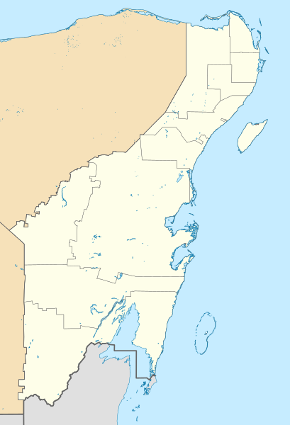
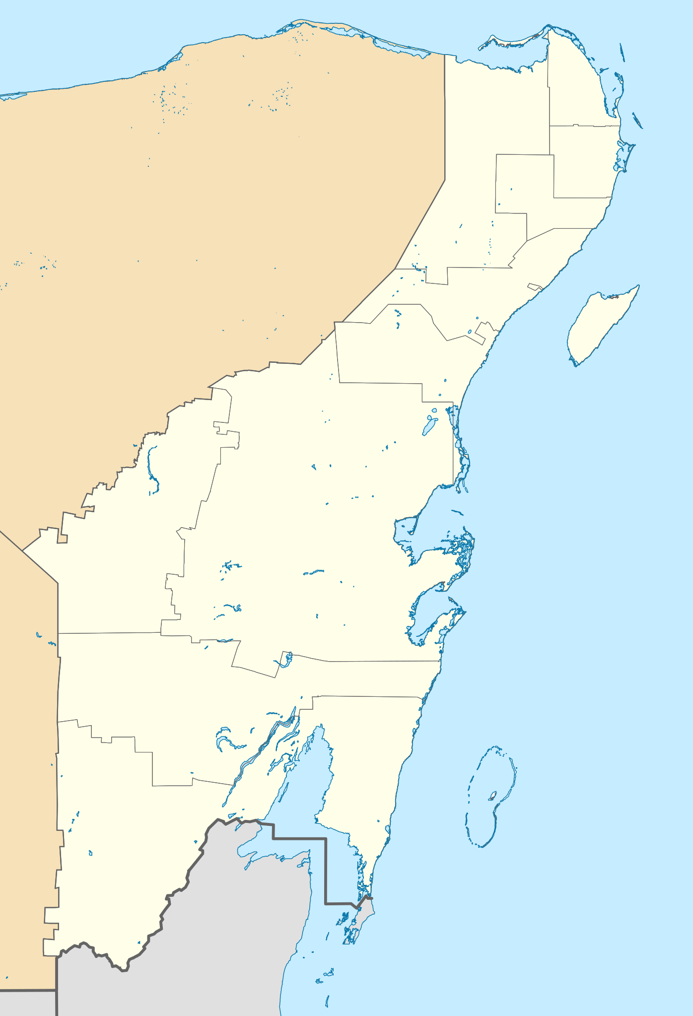
Location Map of Quintana Roo. EPSG:3857 projection, Geographic limits of the map:
|
| ದಿನಾಂಕ | |
| ಆಕರ |
|
| ಕರ್ತೃ | Addicted04 (talk) |
ಪರವಾನಗಿ
I, the copyright holder of this work, hereby publish it under the following license:
ಈ ಕಡತ ಕ್ರಿಯೇಟಿವ್ ಕಾಮನ್ಸ್ Attribution
-Share Alike 3.0 Unported ಪರವಾನಗಿ ಹೊಂದಿದೆ.
- ನೀವು ಮುಕ್ತ:
- ಹಂಚಿಕೆಗೆ – ಕೆಲಸವನ್ನು ನಕಲು ಮಾಡಲು, ವಿತರಣೆ ಮತ್ತು ಸಾಗಿಸಲು
- ರೀಮಿಕ್ಸ್ ಮಾಡಲು – ಕೆಲಸವನ್ನು ಬಳಸಿಕೊಳ್ಳಲು
- ಈ ಕೆಳಗಿನ ಷರತ್ತುಗಳಲ್ಲಿ:
- ವೈಶಿಷ್ಟ್ಯ – ನೀವು ಸೂಕ್ತವಾದ ಕ್ರೆಡಿಟ್ ನೀಡಬೇಕು, ಪರವಾನಗಿಗೆ ಲಿಂಕ್ ಅನ್ನು ಒದಗಿಸಬೇಕು ಮತ್ತು ಯಾವುದೇ ಬದಲಾವಣೆಗಳನ್ನು ಮಾಡಿದ್ದರೆ ಸೂಚಿಸಬೇಕು. ನೀವು ಯಾವುದೇ ಸಮಂಜಸವಾದ ರೀತಿಯಲ್ಲಿ ಮಾಡಬಹುದು, ಆದರೆ ಪರವಾನಗಿದಾರರು ನಿಮ್ಮನ್ನು ಅಥವಾ ನಿಮ್ಮ ಯಾವುದೇ ಬಳಕೆಯನ್ನು ಅನುಮೋದಿಸಿದಂತೆ ರೀತಿಯಲ್ಲಿ ಉಪಯೋಗಿಸಬಾರದು.
- ಇರುವುದರಂತೆಯೇ ಹಂಚು – ನೀವು ರೀಮಿಕ್ಸ್ ಮಾಡಿದರೆ, ರೂಪಾಂತರಗೊಳಿಸಿದರೆ ಅಥವಾ ವಸ್ತುವಿನ ಮೇಲೆ ನಿರ್ಮಿಸಿದರೆ, ನಿಮ್ಮ ಕೊಡುಗೆಗಳನ್ನು ನೀವು ಮೂಲದಂತೆ ಅದೇ ಅಥವಾ ಹೊಂದಾಣಿಕೆಯ ಪರವಾನಗಿ ಅಡಿಯಲ್ಲಿ ವಿತರಿಸಬೇಕು.
ಕಡತದ ಇತಿಹಾಸ
ದಿನ/ಕಾಲ ಒತ್ತಿದರೆ ಆ ಸಮಯದಲ್ಲಿ ಈ ಕಡತದ ವಸ್ತುಸ್ಥಿತಿ ತೋರುತ್ತದೆ.
| ದಿನ/ಕಾಲ | ಕಿರುನೋಟ | ಆಯಾಮಗಳು | ಬಳಕೆದಾರ | ಟಿಪ್ಪಣಿ | |
|---|---|---|---|---|---|
| ಪ್ರಸಕ್ತ | ೨೧:೧೮, ೨೨ ಜುಲೈ ೨೦೨೧ | | ೯೬೦ × ೧,೪೦೮ (೮೩೨ KB) | Alnatuo | Corrected border positions |
| ೨೦:೧೬, ೨೨ ಜುಲೈ ೨೦೨೧ |  | ೯೬೦ × ೧,೪೦೮ (೮೩೨ KB) | Alnatuo | Reverted to version as of 14:35, 22 July 2021 (UTC) | |
| ೨೦:೧೪, ೨೨ ಜುಲೈ ೨೦೨೧ |  | ೯೬೦ × ೧,೪೦೮ (೮೫೦ KB) | Alnatuo | Reverted to version as of 22:38, 26 April 2015 (UTC) | |
| ೨೦:೦೫, ೨೨ ಜುಲೈ ೨೦೨೧ |  | ೯೬೦ × ೧,೪೦೮ (೮೩೨ KB) | Alnatuo | Added Municipality of Puerto Morelos | |
| ೦೪:೦೮, ೨೭ ಏಪ್ರಿಲ್ ೨೦೧೫ |  | ೯೬೦ × ೧,೪೦೮ (೮೫೦ KB) | Addicted04 | Fix | |
| ೨೨:೧೨, ೨೫ ಏಪ್ರಿಲ್ ೨೦೧೫ |  | ೯೬೦ × ೧,೪೦೮ (೮೫೦ KB) | Addicted04 | New map (INEGI 2014) | |
| ೦೪:೦೭, ೧೮ ಮಾರ್ಚ್ ೨೦೧೨ |  | ೧,೦೫೬ × ೧,೪೦೮ (೩೪೧ KB) | Battroid | == Summary == {{ValidSVG}} {{Information |Description=Location Map of Quintana Roo Equirectangular projection, E/W stretching 110 %. Geographic limits of the map: * N: 21.70° N * S: 17.70° N * W: 89.40° W * E: 86.50° W |Source=... | |
| ೦೦:೩೩, ೨೧ ನವೆಂಬರ್ ೨೦೧೧ |  | ೧,೦೫೬ × ೧,೪೦೮ (೩೨೬ KB) | Addicted04 | borders | |
| ೦೫:೩೫, ೮ ಆಗಸ್ಟ್ ೨೦೧೧ |  | ೧,೦೫೬ × ೧,೪೦೮ (೩೨೬ KB) | Addicted04 | +Bacalar | |
| ೦೫:೦೩, ೮ ಆಗಸ್ಟ್ ೨೦೧೧ |  | ೧,೦೫೬ × ೧,೪೦೮ (೩೨೫ KB) | Addicted04 | +Banco Chinchorro |
ಕಡತ ಬಳಕೆ
ಈ ಕೆಳಗಿನ ಪುಟವು ಈ ಚಿತ್ರಕ್ಕೆ ಸಂಪರ್ಕ ಹೊಂದಿದೆ:
ಜಾಗತಿಕ ಕಡತ ಉಪಯೋಗ
ಈ ಕಡತವನ್ನು ಕೆಳಗಿನ ಬೇರೆ ವಿಕಿಗಳೂ ಉಪಯೋಗಿಸುತ್ತಿವೆ:
- ar.wikipedia.org ಮೇಲೆ ಬಳಕೆ
- ba.wikipedia.org ಮೇಲೆ ಬಳಕೆ
- bg.wikipedia.org ಮೇಲೆ ಬಳಕೆ
- ceb.wikipedia.org ಮೇಲೆ ಬಳಕೆ
- ce.wikipedia.org ಮೇಲೆ ಬಳಕೆ
- de.wikipedia.org ಮೇಲೆ ಬಳಕೆ
- Cancún
- Cozumel
- X-Cacal Guardia
- Felipe Carrillo Puerto (Quintana Roo)
- Chetumal
- Playa del Carmen
- Sistema Sac Actun
- Flughafen Cancún
- Wikipedia:Kartenwerkstatt/Positionskarten/Nordamerika
- Estadio Beto Ávila
- Punta Allen
- Estadio Olímpico Andrés Quintana Roo
- Benutzer:Alfie66/Spielwiese
- Sistema Ox Bel Ha
- Cobá (Ort)
- Punta Nizuc
- Sistema Dos Ojos
- Puerto Morelos
- Holbox
- Vorlage:Positionskarte Mexiko Quintana Roo
- Bacalar
- Laguna Boca Paila
- Akumal
- Benutzer:Wasquewhat/Xpu-Há
- Choo-Ha
- San Miguel de Cozumel
- Flughafen Tulum
- en.wikipedia.org ಮೇಲೆ ಬಳಕೆ
ಈ ಫೈಲ್ನ ಹೆಚ್ಚು ಜಾಗತಿಕ ಬಳಕೆಯನ್ನು ವೀಕ್ಷಿಸಿ.