
ಚಿತ್ರ:Canada Manitoba location map.svg

Size of this PNG preview of this SVG file: ೪೮೬ × ೫೯೯ ಪಿಕ್ಸೆಲ್ಗಳು. ಇತರ ರೆಸಲ್ಯೂಶನ್ಗಳು: ೧೯೫ × ೨೪೦ ಪಿಕ್ಸೆಲ್ಗಳು | ೩೮೯ × ೪೮೦ ಪಿಕ್ಸೆಲ್ಗಳು | ೬೨೩ × ೭೬೮ ಪಿಕ್ಸೆಲ್ಗಳು | ೮೩೧ × ೧,೦೨೪ ಪಿಕ್ಸೆಲ್ಗಳು | ೧,೬೬೧ × ೨,೦೪೮ ಪಿಕ್ಸೆಲ್ಗಳು | ೧,೫೧೨ × ೧,೮೬೪ ಪಿಕ್ಸೆಲ್ಗಳು.
ಮೂಲ ಕಡತ (SVG ಫೈಲು, ಸುಮಾರಾಗಿ ೧,೫೧೨ × ೧,೮೬೪ ಚಿತ್ರಬಿಂದುಗಳು, ಫೈಲಿನ ಗಾತ್ರ: ೮೦೯ KB)
ಈ ಫೈಲು ವಿಕಿಮೀಡಿಯ ಕಾಮನ್ಸ್ನಲ್ಲಿ ಇರುವುದು. ಅಲ್ಲಿನ ವಿವರಣೆ ಪುಟವನ್ನೇ ಕೆಳಗೆ ತೋರಿಸಲಾಗಿದೆ. ಕಾಮನ್ಸ್ ಕೃತಿಸ್ವಾಮ್ಯತೆಯಿಂದ ಮುಕ್ತ ಫೈಲುಗಳ ಒಂದು ಆಗರ. ಅಲ್ಲಿ ನೀವೂ ಸಹಕರಿಸಬಹುದು. |
ಸಾರಾಂಶ
| ವಿವರ |
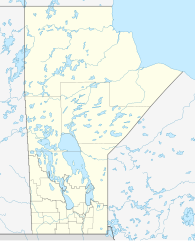
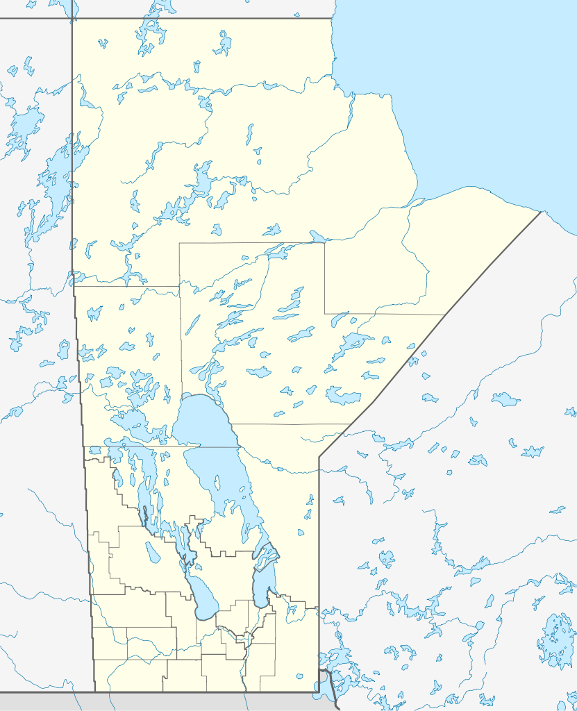
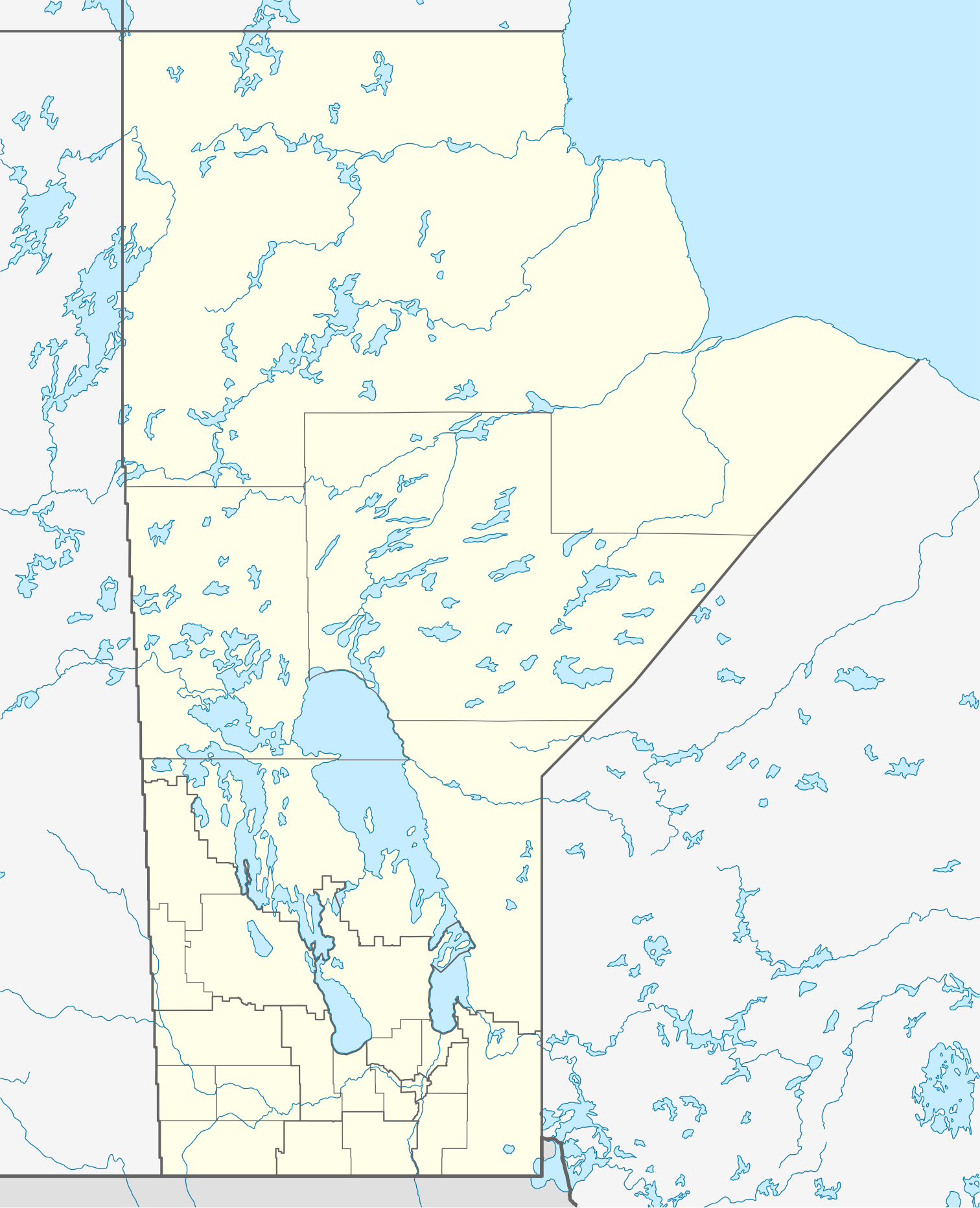
Quadratische Plattkarte, N-S-Streckung 170 %. Geographische Begrenzung der Karte:
Equirectangular projection, N/S stretching 170 %. Geographic limits of the map:
|
| ದಿನಾಂಕ | |
| ಆಕರ |
ಸ್ವಂತ ಕೆಲಸ, using
|
| ಕರ್ತೃ | NordNordWest |
| ಅನುಮತಿ (ಈ ಕಡತವನ್ನು ಮರುಬಳಕೆ ಮಾಡಲಾಗುತ್ತಿದೆ) |
I, the copyright holder of this work, hereby publish it under the following license: ಈ ಕಡತ ಕ್ರಿಯೇಟಿವ್ ಕಾಮನ್ಸ್ Attribution
-Share Alike 3.0 Unported ಪರವಾನಗಿ ಹೊಂದಿದೆ.
|
| ಇತರೆ ಆವೃತ್ತಿಗಳು |
Derivative works of this file:
|


|
This map has been made or improved in the German Kartenwerkstatt (Map Lab). You can propose maps to improve as well.
|
ಕಡತದ ಇತಿಹಾಸ
ದಿನ/ಕಾಲ ಒತ್ತಿದರೆ ಆ ಸಮಯದಲ್ಲಿ ಈ ಕಡತದ ವಸ್ತುಸ್ಥಿತಿ ತೋರುತ್ತದೆ.
| ದಿನ/ಕಾಲ | ಕಿರುನೋಟ | ಆಯಾಮಗಳು | ಬಳಕೆದಾರ | ಟಿಪ್ಪಣಿ | |
|---|---|---|---|---|---|
| ಪ್ರಸಕ್ತ | ೧೭:೨೭, ೨೮ ಆಗಸ್ಟ್ ೨೦೦೯ | | ೧,೫೧೨ × ೧,೮೬೪ (೮೦೯ KB) | NordNordWest | {{int:filedesc}} {{Information |Description= {{de|Positionskarte von Manitoba, Kanada}} Quadratische Plattkarte, N-S-Streckung 170 %. Geographische Begrenzung der Karte: * N: 60.3° N * S: 48.7° N * W: 104.0° W * O: 88.0� |
ಕಡತ ಬಳಕೆ
ಈ ಕೆಳಗಿನ 2 ಪುಟಗಳು ಈ ಚಿತ್ರಕ್ಕೆ ಸಂಪರ್ಕ ಹೊಂದಿವೆ:
ಜಾಗತಿಕ ಕಡತ ಉಪಯೋಗ
ಈ ಕಡತವನ್ನು ಕೆಳಗಿನ ಬೇರೆ ವಿಕಿಗಳೂ ಉಪಯೋಗಿಸುತ್ತಿವೆ:
- ar.wikipedia.org ಮೇಲೆ ಬಳಕೆ
- ba.wikipedia.org ಮೇಲೆ ಬಳಕೆ
- ca.wikipedia.org ಮೇಲೆ ಬಳಕೆ
- cs.wikipedia.org ಮೇಲೆ ಬಳಕೆ
- de.wikipedia.org ಮೇಲೆ ಬಳಕೆ
- Winnipeg
- Eishockey-Weltmeisterschaft der U20-Junioren 1999
- Churchill (Manitoba)
- Canada Life Centre
- Winnipegosis (Manitoba)
- Winkler (Manitoba)
- Altona (Manitoba)
- Reykjavik (Manitoba)
- Thompson (Manitoba)
- Arborg (Manitoba)
- Ashern (Manitoba)
- Steinbach (Manitoba)
- Dauphin (Manitoba)
- Selkirk (Manitoba)
- Gimli (Manitoba)
- Brandon (Manitoba)
- Lower Fort Garry
- Vorlage:Positionskarte Kanada Manitoba
- St. François Xavier
- Morden (Manitoba)
- Beausejour
- Grand Rapids (Manitoba)
- Portage la Prairie
- Carberry
- Minnedosa
- Wikipedia:Kartenwerkstatt/Positionskarten/Nordamerika
- York Factory (Manitoba)
- Norway House
- Painted Stone Portage
- Saint-Boniface (Manitoba)
- Flin Flon Airport
- Fort Prince of Wales
- Winnipeg Arena
- Winnipeg Beach
- Boissevain (Manitoba)
- Polo Park
- Emerson (Manitoba)
- Swan River (Manitoba)
- IG Field
ಈ ಫೈಲ್ನ ಹೆಚ್ಚು ಜಾಗತಿಕ ಬಳಕೆಯನ್ನು ವೀಕ್ಷಿಸಿ.