
ಚಿತ್ರ:Australia Western Australia location map.svg

ಮೂಲ ಕಡತ (SVG ಫೈಲು, ಸುಮಾರಾಗಿ ೧,೨೦೫ × ೧,೭೩೮ ಚಿತ್ರಬಿಂದುಗಳು, ಫೈಲಿನ ಗಾತ್ರ: ೮೩೬ KB)
ಈ ಫೈಲು ವಿಕಿಮೀಡಿಯ ಕಾಮನ್ಸ್ನಲ್ಲಿ ಇರುವುದು. ಅಲ್ಲಿನ ವಿವರಣೆ ಪುಟವನ್ನೇ ಕೆಳಗೆ ತೋರಿಸಲಾಗಿದೆ. ಕಾಮನ್ಸ್ ಕೃತಿಸ್ವಾಮ್ಯತೆಯಿಂದ ಮುಕ್ತ ಫೈಲುಗಳ ಒಂದು ಆಗರ. ಅಲ್ಲಿ ನೀವೂ ಸಹಕರಿಸಬಹುದು. |
ಸಾರಾಂಶ
| ವಿವರ |
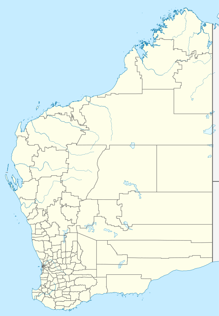
Quadratische Plattkarte, N-S-Streckung 110 %. Geographische Begrenzung der Karte:
Equirectangular projection, N/S stretching 110 %. Geographic limits of the map:
|
|
| ದಿನಾಂಕ | ||
| ಆಕರ |
ಸ್ವಂತ ಕೆಲಸ, using
|
|
| ಕರ್ತೃ | NordNordWest | |
| ಅನುಮತಿ (ಈ ಕಡತವನ್ನು ಮರುಬಳಕೆ ಮಾಡಲಾಗುತ್ತಿದೆ) |
This file is licensed under the Creative Commons Attribution-Share Alike 3.0 Germany license.
 This file is licensed under the Creative Commons Attribution-Share Alike 3.0 Germany license.
|


|
This map has been made or improved in the German Kartenwerkstatt (Map Lab). You can propose maps to improve as well.
|
ಕಡತದ ಇತಿಹಾಸ
ದಿನ/ಕಾಲ ಒತ್ತಿದರೆ ಆ ಸಮಯದಲ್ಲಿ ಈ ಕಡತದ ವಸ್ತುಸ್ಥಿತಿ ತೋರುತ್ತದೆ.
| ದಿನ/ಕಾಲ | ಕಿರುನೋಟ | ಆಯಾಮಗಳು | ಬಳಕೆದಾರ | ಟಿಪ್ಪಣಿ | |
|---|---|---|---|---|---|
| ಪ್ರಸಕ್ತ | ೦೬:೨೪, ೭ ಮೇ ೨೦೨೩ | | ೧,೨೦೫ × ೧,೭೩೮ (೮೩೬ KB) | The2016 | Updated to reflect modern boundary changes |
| ೦೩:೩೯, ೫ ಏಪ್ರಿಲ್ ೨೦೧೦ |  | ೧,೨೦೫ × ೧,೭೩೮ (೮೩೭ KB) | Chumwa | Reverted to version as of 21:21, 23 January 2010 | |
| ೦೩:೧೪, ೫ ಏಪ್ರಿಲ್ ೨೦೧೦ |  | ೧,೨೦೫ × ೧,೭೩೮ (೭೪೬ KB) | Roke~commonswiki | local government low salience, dont appear on general use maps | |
| ೦೨:೫೧, ೨೪ ಜನವರಿ ೨೦೧೦ |  | ೧,೨೦೫ × ೧,೭೩೮ (೮೩೭ KB) | NordNordWest | =={{int:filedesc}}== {{Information |Description= {{de|Positionskarte von Western Australia, Australien}} Quadratische Plattkarte, N-S-Streckung 110 %. Geographische Begrenzung der Karte: * N: 13.2° S * S: 35.5 |
ಕಡತ ಬಳಕೆ
ಈ ಕೆಳಗಿನ ಪುಟವು ಈ ಚಿತ್ರಕ್ಕೆ ಸಂಪರ್ಕ ಹೊಂದಿದೆ:
ಜಾಗತಿಕ ಕಡತ ಉಪಯೋಗ
ಈ ಕಡತವನ್ನು ಕೆಳಗಿನ ಬೇರೆ ವಿಕಿಗಳೂ ಉಪಯೋಗಿಸುತ್ತಿವೆ:
- af.wikipedia.org ಮೇಲೆ ಬಳಕೆ
- als.wikipedia.org ಮೇಲೆ ಬಳಕೆ
- ar.wikipedia.org ಮೇಲೆ ಬಳಕೆ
- ast.wikipedia.org ಮೇಲೆ ಬಳಕೆ
- azb.wikipedia.org ಮೇಲೆ ಬಳಕೆ
- az.wikipedia.org ಮೇಲೆ ಬಳಕೆ
- ba.wikipedia.org ಮೇಲೆ ಬಳಕೆ
- bg.wikipedia.org ಮೇಲೆ ಬಳಕೆ
- ceb.wikipedia.org ಮೇಲೆ ಬಳಕೆ
- ce.wikipedia.org ಮೇಲೆ ಬಳಕೆ
- ckb.wikipedia.org ಮೇಲೆ ಬಳಕೆ
- de.wikipedia.org ಮೇಲೆ ಬಳಕೆ
- Perth
- Albany (Australien)
- Broome
- Drome
- Lancelin
- Dampier (Australien)
- Bunbury (Western Australia)
- Exmouth (Western Australia)
- Denmark (Australien)
- Fremantle
- Marble Bar
- Halls Creek
- Kalgoorlie-Boulder
- Esperance
- Monkey Mia
- Carnarvon (Western Australia)
- Geraldton (Australien)
- Port Hedland
- Roebourne
- Wyndham
- Kununurra
- Karratha
ಈ ಫೈಲ್ನ ಹೆಚ್ಚು ಜಾಗತಿಕ ಬಳಕೆಯನ್ನು ವೀಕ್ಷಿಸಿ.