
ಚಿತ್ರ:Vinnitsa province location map.svg

Size of this PNG preview of this SVG file: ೫೩೩ × ೫೬೨ ಪಿಕ್ಸೆಲ್ಗಳು. ಇತರ ರೆಸಲ್ಯೂಶನ್ಗಳು: ೨೨೮ × ೨೪೦ ಪಿಕ್ಸೆಲ್ಗಳು | ೪೫೫ × ೪೮೦ ಪಿಕ್ಸೆಲ್ಗಳು | ೭೨೮ × ೭೬೮ ಪಿಕ್ಸೆಲ್ಗಳು | ೯೭೧ × ೧,೦೨೪ ಪಿಕ್ಸೆಲ್ಗಳು | ೧,೯೪೨ × ೨,೦೪೮ ಪಿಕ್ಸೆಲ್ಗಳು.
ಮೂಲ ಕಡತ (SVG ಫೈಲು, ಸುಮಾರಾಗಿ ೫೩೩ × ೫೬೨ ಚಿತ್ರಬಿಂದುಗಳು, ಫೈಲಿನ ಗಾತ್ರ: ೧೩೨ KB)
ಈ ಫೈಲು ವಿಕಿಮೀಡಿಯ ಕಾಮನ್ಸ್ನಲ್ಲಿ ಇರುವುದು. ಅಲ್ಲಿನ ವಿವರಣೆ ಪುಟವನ್ನೇ ಕೆಳಗೆ ತೋರಿಸಲಾಗಿದೆ. ಕಾಮನ್ಸ್ ಕೃತಿಸ್ವಾಮ್ಯತೆಯಿಂದ ಮುಕ್ತ ಫೈಲುಗಳ ಒಂದು ಆಗರ. ಅಲ್ಲಿ ನೀವೂ ಸಹಕರಿಸಬಹುದು. |
ಸಾರಾಂಶ
| ವಿವರ |
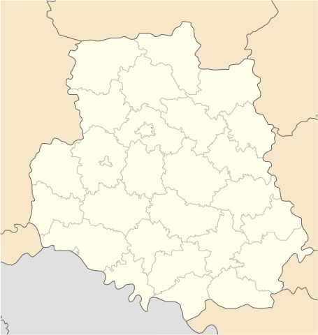
English: Location map of Vinnytsa province, Ukraine
Русский: Позиционная карта Винницкой области, Украина
Українська: Карта Вінницької області, Україна |
| ಆಕರ | ಸ್ವಂತ ಕೆಲಸ |
| ಕರ್ತೃ | Urutseg |
ಪರವಾನಗಿ
| I, the copyright holder of this work, release this work into the public domain. This applies worldwide. In some countries this may not be legally possible; if so: I grant anyone the right to use this work for any purpose, without any conditions, unless such conditions are required by law. |
ಕಡತದ ಇತಿಹಾಸ
ದಿನ/ಕಾಲ ಒತ್ತಿದರೆ ಆ ಸಮಯದಲ್ಲಿ ಈ ಕಡತದ ವಸ್ತುಸ್ಥಿತಿ ತೋರುತ್ತದೆ.
| ದಿನ/ಕಾಲ | ಕಿರುನೋಟ | ಆಯಾಮಗಳು | ಬಳಕೆದಾರ | ಟಿಪ್ಪಣಿ | |
|---|---|---|---|---|---|
| ಪ್ರಸಕ್ತ | ೧೪:೪೫, ೨೮ ಜೂನ್ ೨೦೧೪ | | ೫೩೩ × ೫೬೨ (೧೩೨ KB) | ערן | lighter borders between provinces |
| ೧೭:೦೦, ೧ ಡಿಸೆಂಬರ್ ೨೦೧೦ |  | ೫೩೩ × ೫೬೨ (೧೩೨ KB) | Urutseg | {{Information |Description={{en|1=Location map of Vinnytsa province, Ukraine}} {{ru|1=Позиционная карта Винницкой области, Украина}} |Source={{own}} |Author=Urutseg |Date= |Permission= |other_version |
ಕಡತ ಬಳಕೆ
ಈ ಕೆಳಗಿನ ಪುಟವು ಈ ಚಿತ್ರಕ್ಕೆ ಸಂಪರ್ಕ ಹೊಂದಿದೆ:
ಜಾಗತಿಕ ಕಡತ ಉಪಯೋಗ
ಈ ಕಡತವನ್ನು ಕೆಳಗಿನ ಬೇರೆ ವಿಕಿಗಳೂ ಉಪಯೋಗಿಸುತ್ತಿವೆ:
- ar.wikipedia.org ಮೇಲೆ ಬಳಕೆ
- az.wikipedia.org ಮೇಲೆ ಬಳಕೆ
- ba.wikipedia.org ಮೇಲೆ ಬಳಕೆ
- be.wikipedia.org ಮೇಲೆ ಬಳಕೆ
- Вінніцкая вобласць
- Брацлаў
- Жмэрынка
- Магілёў-Падольскі
- Крыжопіль
- Гайсын
- Хмільнык
- Ямпіль
- Шаргарад
- Турбіў
- Нава Прылука
- Стара Прылука
- Брыцькэ
- Вахніўка
- Чупрыніўка
- Шаблон:На карце/Украіна Вінніцкая вобласць
- Кабыльня
- Ладыжын (горад)
- Бар (Украіна)
- Тульчын
- Пагрэбішчэ
- Нэмірыў
- Лыпавэць
- Калыніўка
- Казятын
- Іллінці
- Гнівань
- Ксавэрыўка (пасёлак)
- Лыпавэць (пасёлак)
- Мала Біла
- Пылыпэнкавэ
- Підліснэ (Вінніцкі раён)
- Тэльмана (Лыпавэцкі раён)
- Ясэнэцкэ
- Бэрэсціўка (Лыпавэцкі раён)
- Біла (Вінніцкі раён)
- Білазэрыўка
- Багданіўка (Вінніцкі раён)
- Вэрбіўка (Лыпавэцкі раён)
- Вэрнянка
- Війціўці (Лыпавэцкі раён)
- Вікэнцііўка
- Ганніўка (Лыпавэцкі раён)
- Гардзііўка (Лыпавэцкі раён)
- Журавы (Лыпавэцкі раён)
- Зозіў (Лыпавэцкі раён)
ಈ ಫೈಲ್ನ ಹೆಚ್ಚು ಜಾಗತಿಕ ಬಳಕೆಯನ್ನು ವೀಕ್ಷಿಸಿ.