
ಚಿತ್ರ:USA Idaho location map.svg

Size of this PNG preview of this SVG file: ೪೫೭ × ೫೯೯ ಪಿಕ್ಸೆಲ್ಗಳು. ಇತರ ರೆಸಲ್ಯೂಶನ್ಗಳು: ೧೮೩ × ೨೪೦ ಪಿಕ್ಸೆಲ್ಗಳು | ೩೬೬ × ೪೮೦ ಪಿಕ್ಸೆಲ್ಗಳು | ೫೮೫ × ೭೬೮ ಪಿಕ್ಸೆಲ್ಗಳು | ೭೮೧ × ೧,೦೨೪ ಪಿಕ್ಸೆಲ್ಗಳು | ೧,೫೬೧ × ೨,೦೪೮ ಪಿಕ್ಸೆಲ್ಗಳು | ೯೧೫ × ೧,೨೦೦ ಪಿಕ್ಸೆಲ್ಗಳು.
ಮೂಲ ಕಡತ (SVG ಫೈಲು, ಸುಮಾರಾಗಿ ೯೧೫ × ೧,೨೦೦ ಚಿತ್ರಬಿಂದುಗಳು, ಫೈಲಿನ ಗಾತ್ರ: ೬೧೧ KB)
ಈ ಫೈಲು ವಿಕಿಮೀಡಿಯ ಕಾಮನ್ಸ್ನಲ್ಲಿ ಇರುವುದು. ಅಲ್ಲಿನ ವಿವರಣೆ ಪುಟವನ್ನೇ ಕೆಳಗೆ ತೋರಿಸಲಾಗಿದೆ. ಕಾಮನ್ಸ್ ಕೃತಿಸ್ವಾಮ್ಯತೆಯಿಂದ ಮುಕ್ತ ಫೈಲುಗಳ ಒಂದು ಆಗರ. ಅಲ್ಲಿ ನೀವೂ ಸಹಕರಿಸಬಹುದು. |
ಸಾರಾಂಶ
| ವಿವರ |
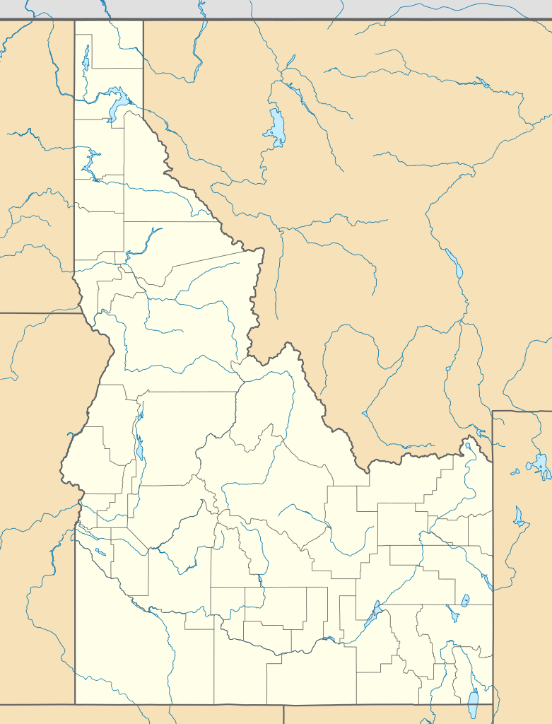
Quadratische Plattkarte, N-S-Streckung 140.0 %. Geographische Begrenzung der Karte:
Equirectangular projection, N/S stretching 140.0 %. Geographic limits of the map:
|
||
| ದಿನಾಂಕ | |||
| ಆಕರ | ಸ್ವಂತ ಕೆಲಸ | ||
| ಕರ್ತೃ | Alexrk2 | ||
| ಇತರೆ ಆವೃತ್ತಿಗಳು |
Derivative works of this file: |
||
| SVG genesis |
|

ಪರವಾನಗಿ
I, the copyright holder of this work, hereby publish it under the following licenses:

|
GNU ಉಚಿತ ಡಾಕ್ಯುಮೆಂಟೇಶನ್ ಪರವಾನಗಿ, ಆವೃತ್ತಿಯ ನಿಯಮಗಳ ಅಡಿಯಲ್ಲಿ ಈ ಡಾಕ್ಯುಮೆಂಟ್ ಅನ್ನು ನಕಲಿಸಲು, ವಿತರಿಸಲು ಮತ್ತು/ಅಥವಾ ಮಾರ್ಪಡಿಸಲು ಅನುಮತಿಯನ್ನು ನೀಡಲಾಗಿದೆ. 1.2 ಅಥವಾ ಯಾವುದೇ ನಂತರದ ಆವೃತ್ತಿಯನ್ನು ಉಚಿತ ಸಾಫ್ಟ್ವೇರ್ ಫೌಂಡೇಶನ್ ಪ್ರಕಟಿಸಿದೆ; ಯಾವುದೇ ಅಸ್ಥಿರ ವಿಭಾಗಗಳಿಲ್ಲದೆ, ಮುಖ ಪಠ್ಯಗಳಿಲ್ಲ ಮತ್ತು ಹಿಂದಿನ ಕವರ್ ಪಠ್ಯಗಳಿಲ್ಲ. ಪರವಾನಗಿಯ ಪ್ರತಿಯನ್ನು GNU ಉಚಿತ ಡಾಕ್ಯುಮೆಂಟೇಶನ್ ಪರವಾನಗಿ ಎಂಬ ವಿಭಾಗದಲ್ಲಿ ಸೇರಿಸಲಾಗಿದೆ. |
This file is licensed under the Creative Commons Attribution 3.0 Unported license.
- ನೀವು ಮುಕ್ತ:
- ಹಂಚಿಕೆಗೆ – ಕೆಲಸವನ್ನು ನಕಲು ಮಾಡಲು, ವಿತರಣೆ ಮತ್ತು ಸಾಗಿಸಲು
- ರೀಮಿಕ್ಸ್ ಮಾಡಲು – ಕೆಲಸವನ್ನು ಬಳಸಿಕೊಳ್ಳಲು
- ಈ ಕೆಳಗಿನ ಷರತ್ತುಗಳಲ್ಲಿ:
- ವೈಶಿಷ್ಟ್ಯ – ನೀವು ಸೂಕ್ತವಾದ ಕ್ರೆಡಿಟ್ ನೀಡಬೇಕು, ಪರವಾನಗಿಗೆ ಲಿಂಕ್ ಅನ್ನು ಒದಗಿಸಬೇಕು ಮತ್ತು ಯಾವುದೇ ಬದಲಾವಣೆಗಳನ್ನು ಮಾಡಿದ್ದರೆ ಸೂಚಿಸಬೇಕು. ನೀವು ಯಾವುದೇ ಸಮಂಜಸವಾದ ರೀತಿಯಲ್ಲಿ ಮಾಡಬಹುದು, ಆದರೆ ಪರವಾನಗಿದಾರರು ನಿಮ್ಮನ್ನು ಅಥವಾ ನಿಮ್ಮ ಯಾವುದೇ ಬಳಕೆಯನ್ನು ಅನುಮೋದಿಸಿದಂತೆ ರೀತಿಯಲ್ಲಿ ಉಪಯೋಗಿಸಬಾರದು.
ನಿಮ್ಮಿಚ್ಛೆಯ ಪರವಾನಗಿಯನ್ನು ನೀವು ಆರಿಸಿಕೊಳ್ಳಬಹುದು.
ಕಡತದ ಇತಿಹಾಸ
ದಿನ/ಕಾಲ ಒತ್ತಿದರೆ ಆ ಸಮಯದಲ್ಲಿ ಈ ಕಡತದ ವಸ್ತುಸ್ಥಿತಿ ತೋರುತ್ತದೆ.
| ದಿನ/ಕಾಲ | ಕಿರುನೋಟ | ಆಯಾಮಗಳು | ಬಳಕೆದಾರ | ಟಿಪ್ಪಣಿ | |
|---|---|---|---|---|---|
| ಪ್ರಸಕ್ತ | ೦೨:೦೨, ೨೧ ಜನವರಿ ೨೦೧೯ | | ೯೧೫ × ೧,೨೦೦ (೬೧೧ KB) | Milenioscuro | Does not match with the color conventions |
| ೦೪:೫೬, ೨೦ ಜನವರಿ ೨೦೧೯ |  | ೬೮೬ × ೯೦೦ (೫೮೫ KB) | Allice Hunter | Test | |
| ೨೩:೫೬, ೨೩ ಜುಲೈ ೨೦೦೯ |  | ೯೧೫ × ೧,೨೦೦ (೬೧೧ KB) | Alexrk2 | == Beschreibung == {{Information |Description= {{de|Positionskarte von Idaho, USA}} Quadratische Plattkarte, N-S-Streckung 140.0 %. Geographische Begrenzung der Karte: * N: 49.2° N * S: 41.8° N * W: 118.1° W * O: 110.2° W {{e |
ಕಡತ ಬಳಕೆ
ಈ ಕೆಳಗಿನ ಪುಟವು ಈ ಚಿತ್ರಕ್ಕೆ ಸಂಪರ್ಕ ಹೊಂದಿದೆ:
ಜಾಗತಿಕ ಕಡತ ಉಪಯೋಗ
ಈ ಕಡತವನ್ನು ಕೆಳಗಿನ ಬೇರೆ ವಿಕಿಗಳೂ ಉಪಯೋಗಿಸುತ್ತಿವೆ:
- af.wikipedia.org ಮೇಲೆ ಬಳಕೆ
- an.wikipedia.org ಮೇಲೆ ಬಳಕೆ
- ar.wikipedia.org ಮೇಲೆ ಬಳಕೆ
- azb.wikipedia.org ಮೇಲೆ ಬಳಕೆ
- کانکلینق پارک، آیداهو
- راکفورد، آیداهو
- بلنچارد، آیداهو
- ایوری، آیداهو
- هیدن اسپرینقز، آیداهو
- الک سیتی، آیداهو
- بون، آیداهو
- بنینقتون، آیداهو
- راکفورد بی، آیداهو
- دی اسمت، آیداهو
- بنکس، آیداهو
- پرینستون، آیداهو
- سویتواتر، آیداهو
- مورلند، آیداهو
- رابی کریک، آیداهو
- مورفی، آیداهو
- تایهی، آیداهو
- قروولند، آیداهو
- اسمیتس فری، آیداهو
- وارن، آیداهو
- فیش هیون، آیداهو
- آتلانتا، آیداهو
- برونی، آیداهو
- جنیوا، آیداهو
- برن، آیداهو
- کینقستون، آیداهو
- قولدن، آیداهو
- دینقل، آیداهو
- چستر، آیداهو
- کلارکسویل، آیداهو
- الیس، آیداهو
- آربن، آیداهو
- آدایر، آیداهو
- واردبورو، آیداهو
- نورت پول، آیداهو
- اولا، آیداهو
- پاترزون، آیداهو
- تریومف، آیداهو
- پقرام، آیداهو
- بیچس کورنر، آیداهو
- وزتموند، آیداهو
- ویپساو سادل، آیداهو
- ویکاهونئی، آیداهو
- وانز کورنر، آیداهو
- قودریچ، آیداهو
- قرینکریک، آیداهو
ಈ ಫೈಲ್ನ ಹೆಚ್ಚು ಜಾಗತಿಕ ಬಳಕೆಯನ್ನು ವೀಕ್ಷಿಸಿ.