
ಚಿತ್ರ:U.S. Washington location map.svg

Size of this PNG preview of this SVG file: ೮೦೦ × ೫೬೩ ಪಿಕ್ಸೆಲ್ಗಳು. ಇತರ ರೆಸಲ್ಯೂಶನ್ಗಳು: ೩೨೦ × ೨೨೫ ಪಿಕ್ಸೆಲ್ಗಳು | ೬೪೦ × ೪೫೧ ಪಿಕ್ಸೆಲ್ಗಳು | ೧,೦೨೪ × ೭೨೧ ಪಿಕ್ಸೆಲ್ಗಳು | ೧,೨೮೦ × ೯೦೧ ಪಿಕ್ಸೆಲ್ಗಳು | ೨,೫೬೦ × ೧,೮೦೩ ಪಿಕ್ಸೆಲ್ಗಳು | ೧,೫೦೧ × ೧,೦೫೭ ಪಿಕ್ಸೆಲ್ಗಳು.
ಮೂಲ ಕಡತ (SVG ಫೈಲು, ಸುಮಾರಾಗಿ ೧,೫೦೧ × ೧,೦೫೭ ಚಿತ್ರಬಿಂದುಗಳು, ಫೈಲಿನ ಗಾತ್ರ: ೫೬೧ KB)
ಈ ಫೈಲು ವಿಕಿಮೀಡಿಯ ಕಾಮನ್ಸ್ನಲ್ಲಿ ಇರುವುದು. ಅಲ್ಲಿನ ವಿವರಣೆ ಪುಟವನ್ನೇ ಕೆಳಗೆ ತೋರಿಸಲಾಗಿದೆ. ಕಾಮನ್ಸ್ ಕೃತಿಸ್ವಾಮ್ಯತೆಯಿಂದ ಮುಕ್ತ ಫೈಲುಗಳ ಒಂದು ಆಗರ. ಅಲ್ಲಿ ನೀವೂ ಸಹಕರಿಸಬಹುದು. |
Waller-Sean city-Clover Creek,WA
ಸಾರಾಂಶ
| ವಿವರ |
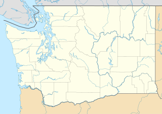
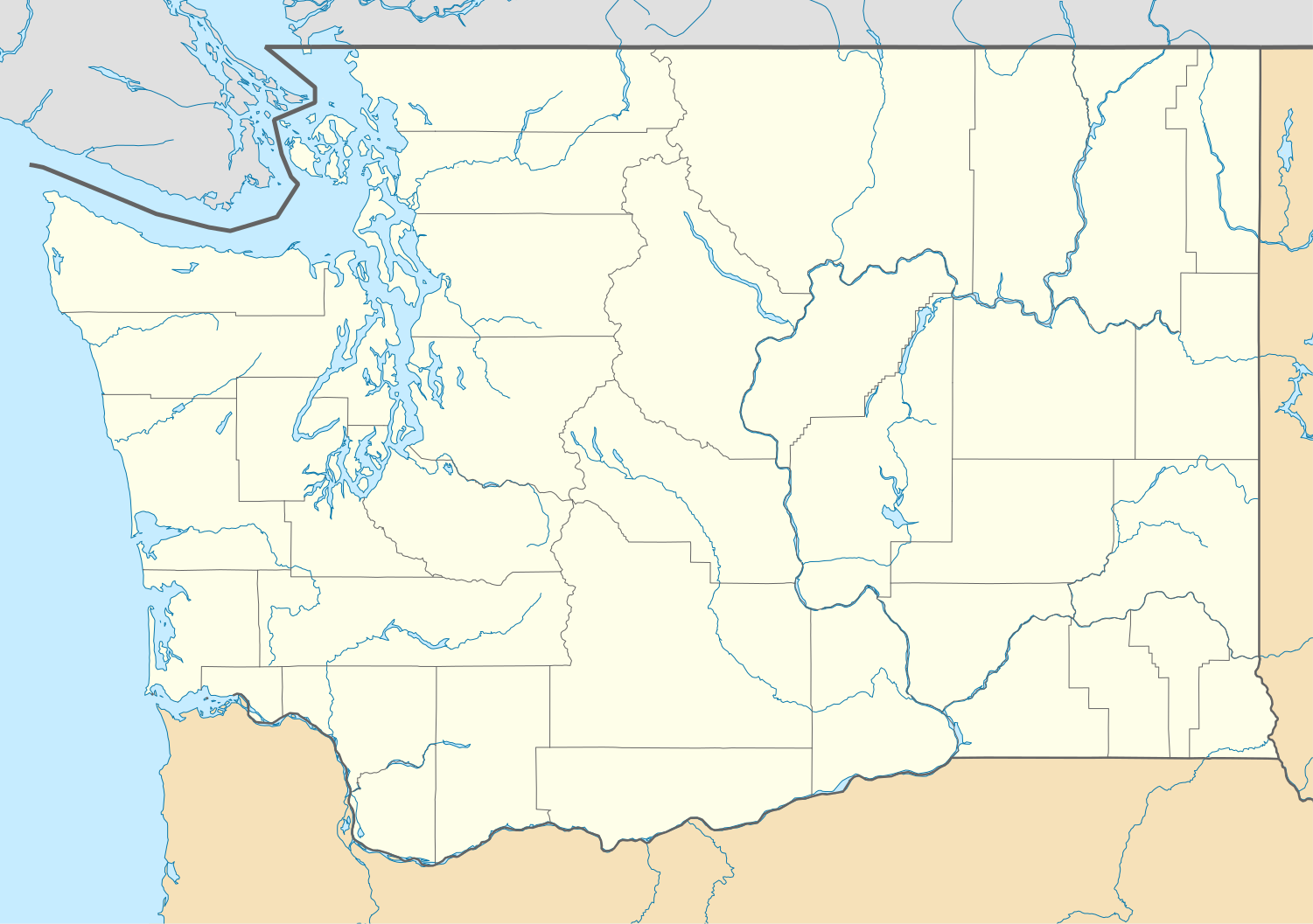
Quadratische Plattkarte, N-S-Streckung 150.0 %. Geographische Begrenzung der Karte:
Equirectangular projection, N/S stretching 150.0 %. Geographic limits of the map:
|
| ದಿನಾಂಕ | |
| ಆಕರ | ಸ್ವಂತ ಕೆಲಸ |
| ಕರ್ತೃ | Alexrk2 |
| ಇತರೆ ಆವೃತ್ತಿಗಳು |
Derivative works of this file: FirstCitizensBancShares footprint.png Derivative works of this file:
|


|
This map has been made or improved in the German Kartenwerkstatt (Map Lab). You can propose maps to improve as well.
|
ಪರವಾನಗಿ
I, the copyright holder of this work, hereby publish it under the following licenses:

|
GNU ಉಚಿತ ಡಾಕ್ಯುಮೆಂಟೇಶನ್ ಪರವಾನಗಿ, ಆವೃತ್ತಿಯ ನಿಯಮಗಳ ಅಡಿಯಲ್ಲಿ ಈ ಡಾಕ್ಯುಮೆಂಟ್ ಅನ್ನು ನಕಲಿಸಲು, ವಿತರಿಸಲು ಮತ್ತು/ಅಥವಾ ಮಾರ್ಪಡಿಸಲು ಅನುಮತಿಯನ್ನು ನೀಡಲಾಗಿದೆ. 1.2 ಅಥವಾ ಯಾವುದೇ ನಂತರದ ಆವೃತ್ತಿಯನ್ನು ಉಚಿತ ಸಾಫ್ಟ್ವೇರ್ ಫೌಂಡೇಶನ್ ಪ್ರಕಟಿಸಿದೆ; ಯಾವುದೇ ಅಸ್ಥಿರ ವಿಭಾಗಗಳಿಲ್ಲದೆ, ಮುಖ ಪಠ್ಯಗಳಿಲ್ಲ ಮತ್ತು ಹಿಂದಿನ ಕವರ್ ಪಠ್ಯಗಳಿಲ್ಲ. ಪರವಾನಗಿಯ ಪ್ರತಿಯನ್ನು GNU ಉಚಿತ ಡಾಕ್ಯುಮೆಂಟೇಶನ್ ಪರವಾನಗಿ ಎಂಬ ವಿಭಾಗದಲ್ಲಿ ಸೇರಿಸಲಾಗಿದೆ. |
This file is licensed under the Creative Commons Attribution 3.0 Unported license.
- ನೀವು ಮುಕ್ತ:
- ಹಂಚಿಕೆಗೆ – ಕೆಲಸವನ್ನು ನಕಲು ಮಾಡಲು, ವಿತರಣೆ ಮತ್ತು ಸಾಗಿಸಲು
- ರೀಮಿಕ್ಸ್ ಮಾಡಲು – ಕೆಲಸವನ್ನು ಬಳಸಿಕೊಳ್ಳಲು
- ಈ ಕೆಳಗಿನ ಷರತ್ತುಗಳಲ್ಲಿ:
- ವೈಶಿಷ್ಟ್ಯ – ನೀವು ಸೂಕ್ತವಾದ ಕ್ರೆಡಿಟ್ ನೀಡಬೇಕು, ಪರವಾನಗಿಗೆ ಲಿಂಕ್ ಅನ್ನು ಒದಗಿಸಬೇಕು ಮತ್ತು ಯಾವುದೇ ಬದಲಾವಣೆಗಳನ್ನು ಮಾಡಿದ್ದರೆ ಸೂಚಿಸಬೇಕು. ನೀವು ಯಾವುದೇ ಸಮಂಜಸವಾದ ರೀತಿಯಲ್ಲಿ ಮಾಡಬಹುದು, ಆದರೆ ಪರವಾನಗಿದಾರರು ನಿಮ್ಮನ್ನು ಅಥವಾ ನಿಮ್ಮ ಯಾವುದೇ ಬಳಕೆಯನ್ನು ಅನುಮೋದಿಸಿದಂತೆ ರೀತಿಯಲ್ಲಿ ಉಪಯೋಗಿಸಬಾರದು.
ನಿಮ್ಮಿಚ್ಛೆಯ ಪರವಾನಗಿಯನ್ನು ನೀವು ಆರಿಸಿಕೊಳ್ಳಬಹುದು.
ಕಡತದ ಇತಿಹಾಸ
ದಿನ/ಕಾಲ ಒತ್ತಿದರೆ ಆ ಸಮಯದಲ್ಲಿ ಈ ಕಡತದ ವಸ್ತುಸ್ಥಿತಿ ತೋರುತ್ತದೆ.
| ದಿನ/ಕಾಲ | ಕಿರುನೋಟ | ಆಯಾಮಗಳು | ಬಳಕೆದಾರ | ಟಿಪ್ಪಣಿ | |
|---|---|---|---|---|---|
| ಪ್ರಸಕ್ತ | ೨೧:೫೦, ೨ ಅಕ್ಟೋಬರ್ ೨೦೦೯ | | ೧,೫೦೧ × ೧,೦೫೭ (೫೬೧ KB) | Alexrk2 | == Beschreibung == {{Information |Description= {{de|Positionskarte von Washington, USA}} Quadratische Plattkarte, N-S-Streckung 150.0 %. Geographische Begrenzung der Karte: * N: 49.2° N * S: 45.3° N * W: 125.0° W * O: 116 |
ಕಡತ ಬಳಕೆ
ಈ ಕೆಳಗಿನ ಪುಟವು ಈ ಚಿತ್ರಕ್ಕೆ ಸಂಪರ್ಕ ಹೊಂದಿದೆ:
ಜಾಗತಿಕ ಕಡತ ಉಪಯೋಗ
ಈ ಕಡತವನ್ನು ಕೆಳಗಿನ ಬೇರೆ ವಿಕಿಗಳೂ ಉಪಯೋಗಿಸುತ್ತಿವೆ:
- af.wikipedia.org ಮೇಲೆ ಬಳಕೆ
- an.wikipedia.org ಮೇಲೆ ಬಳಕೆ
- ar.wikipedia.org ಮೇಲೆ ಬಳಕೆ
- ast.wikipedia.org ಮೇಲೆ ಬಳಕೆ
- azb.wikipedia.org ಮೇಲೆ ಬಳಕೆ
- بلینقهام، واشینقتون
- اولمپیا، واشینقتون
- پریری هایتس، واشینقتون
- استنزبری لیک، واشینقتون
- باتل ایست، واشینقتون
- ویلاپا، واشینقتون
- چلن فالز، واشینقتون
- بارنیز جانکشن، واشینقتون
- سامیت ویو، واشینقتون
- توربوی، واشینقتون
- بویدز، واشینقتون
- دنویل، واشینقتون
- ریدروود، واشینقتون
- اسکاموکاوا ولی، واشینقتون
- واونا، واشینقتون
- بلفیر، واشینقتون
- هوداسپورت، واشینقتون
- بتل، واشینقتون
- لاپوش، واشینقتون
- کلیفدل، واشینقتون
- انتای، واشینقتون
- ساندی لیک، واشینقتون
- کاپوسین، واشینقتون
- نایل، واشینقتون
- روزبرق، واشینقتون
- کووچی، واشینقتون
- تامپیکو، واشینقتون
- هنسویل، واشینقتون
- آوتلوک، واشینقتون
- مالو، واشینقتون
- لوفال، واشینقتون
- سکیو، واشینقتون
- مکمیلین، واشینقتون
- کولرو، واشینقتون
- بولوارد پارک، واشینقتون
- پارکر، واشینقتون
- کراکر، واشینقتون
- دونالد، واشینقتون
- واکاندا، واشینقتون
- چیکو، واشینقتون
ಈ ಫೈಲ್ನ ಹೆಚ್ಚು ಜಾಗತಿಕ ಬಳಕೆಯನ್ನು ವೀಕ್ಷಿಸಿ.