
ಚಿತ್ರ:Southwest Cornwall UK location map.svg

Size of this PNG preview of this SVG file: ೮೦೦ × ೪೮೯ ಪಿಕ್ಸೆಲ್ಗಳು. ಇತರ ರೆಸಲ್ಯೂಶನ್ಗಳು: ೩೨೦ × ೧೯೬ ಪಿಕ್ಸೆಲ್ಗಳು | ೬೪೦ × ೩೯೧ ಪಿಕ್ಸೆಲ್ಗಳು | ೧,೦೨೪ × ೬೨೬ ಪಿಕ್ಸೆಲ್ಗಳು | ೧,೨೮೦ × ೭೮೨ ಪಿಕ್ಸೆಲ್ಗಳು | ೨,೫೬೦ × ೧,೫೬೫ ಪಿಕ್ಸೆಲ್ಗಳು | ೧,೪೨೫ × ೮೭೧ ಪಿಕ್ಸೆಲ್ಗಳು.
ಮೂಲ ಕಡತ (SVG ಫೈಲು, ಸುಮಾರಾಗಿ ೧,೪೨೫ × ೮೭೧ ಚಿತ್ರಬಿಂದುಗಳು, ಫೈಲಿನ ಗಾತ್ರ: ೬೬೨ KB)
ಈ ಫೈಲು ವಿಕಿಮೀಡಿಯ ಕಾಮನ್ಸ್ನಲ್ಲಿ ಇರುವುದು. ಅಲ್ಲಿನ ವಿವರಣೆ ಪುಟವನ್ನೇ ಕೆಳಗೆ ತೋರಿಸಲಾಗಿದೆ. ಕಾಮನ್ಸ್ ಕೃತಿಸ್ವಾಮ್ಯತೆಯಿಂದ ಮುಕ್ತ ಫೈಲುಗಳ ಒಂದು ಆಗರ. ಅಲ್ಲಿ ನೀವೂ ಸಹಕರಿಸಬಹುದು. |
| ವಿವರ |
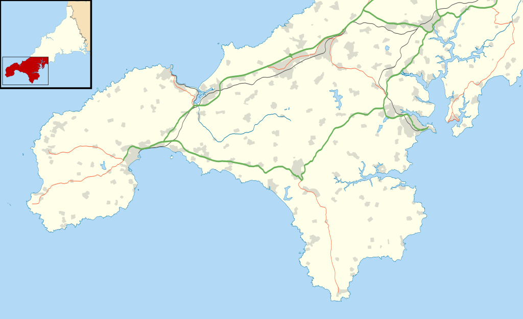
Map of southwest Cornwall, UK (excluding the Isles of Scilly) with the following information shown:
Equirectangular map projection on WGS 84 datum, with N/S stretched 150% Geographic limits:
|
| ದಿನಾಂಕ | |
| ಆಕರ |
|
| ಕರ್ತೃ | Nilfanion, created using Ordnance Survey data |
| ಅನುಮತಿ (ಈ ಕಡತವನ್ನು ಮರುಬಳಕೆ ಮಾಡಲಾಗುತ್ತಿದೆ) |
ಈ ಕಡತ ಕ್ರಿಯೇಟಿವ್ ಕಾಮನ್ಸ್ Attribution
-Share Alike 3.0 Unported ಪರವಾನಗಿ ಹೊಂದಿದೆ. ವೈಶಿಷ್ಟ್ಯ: Contains Ordnance Survey data © Crown copyright and database right
|
ಕಡತದ ಇತಿಹಾಸ
ದಿನ/ಕಾಲ ಒತ್ತಿದರೆ ಆ ಸಮಯದಲ್ಲಿ ಈ ಕಡತದ ವಸ್ತುಸ್ಥಿತಿ ತೋರುತ್ತದೆ.
| ದಿನ/ಕಾಲ | ಕಿರುನೋಟ | ಆಯಾಮಗಳು | ಬಳಕೆದಾರ | ಟಿಪ್ಪಣಿ | |
|---|---|---|---|---|---|
| ಪ್ರಸಕ್ತ | ೧೭:೧೨, ೧೨ ಅಕ್ಟೋಬರ್ ೨೦೧೧ | | ೧,೪೨೫ × ೮೭೧ (೬೬೨ KB) | Nilfanion | {{Information |Description=Map of southwest Cornwall, UK (excluding the Isles of Scilly) with the following information shown: *Administrative borders *Coastline, lakes and rivers *Roads and railways *Urban areas Equirectangular map projec |
ಕಡತ ಬಳಕೆ
ಈ ಕೆಳಗಿನ ಪುಟವು ಈ ಚಿತ್ರಕ್ಕೆ ಸಂಪರ್ಕ ಹೊಂದಿದೆ:
ಜಾಗತಿಕ ಕಡತ ಉಪಯೋಗ
ಈ ಕಡತವನ್ನು ಕೆಳಗಿನ ಬೇರೆ ವಿಕಿಗಳೂ ಉಪಯೋಗಿಸುತ್ತಿವೆ:
- ar.wikipedia.org ಮೇಲೆ ಬಳಕೆ
- ceb.wikipedia.org ಮೇಲೆ ಬಳಕೆ
- en.wikipedia.org ಮೇಲೆ ಬಳಕೆ
- Chysauster Ancient Village
- Carn Euny
- Mên-an-Tol
- Tate St Ives
- Lanyon Quoit
- Aire Point to Carrick Du SSSI
- Land's End Airport
- Logan Rock
- Chûn Quoit
- The Merry Maidens
- Morrab Library
- Mousehole Wild Bird Hospital and Sanctuary
- Trinity House National Lighthouse Museum
- Ballowall Barrow
- Halliggye Fogou
- Tregiffian Burial Chamber
- Boscawen-Un
- Penzance Heliport
- Tregeseal East stone circle
- Boskednan stone circle
- Lescudjack Hill Fort
- Penlee House
- Zennor Quoit
- Carbis Bay Hotel
- Treen Cliff
- Mount Haven Hotel
- Module:Location map/data/United Kingdom Cornwall southwest/doc
- The Sloop Inn
- Caerthillian to Kennack
- Great Wheal Fortune
- Porthgwarra to Pordenack Point
- Sperris Quoit
- The Falmouth Hotel
- Tinner's Arms
- Boleigh Fogou
- Brane Barrow
- Boswens Menhir
- Mulfra Quoit
- Pendeen Vau
- The Pipers, St Buryan
- Mên Scryfa
- West Lanyon Quoit
- Chyenhal Moor
- Madron Well and Madron Well Chapel
- Module:Location map/data/United Kingdom Cornwall southwest
- Module:Location map/data/Southwest Cornwall
- Falmouth Bay
- Carfury Standing Stone
ಈ ಫೈಲ್ನ ಹೆಚ್ಚು ಜಾಗತಿಕ ಬಳಕೆಯನ್ನು ವೀಕ್ಷಿಸಿ.