
ಚಿತ್ರ:South Africa Gauteng location map.svg

Size of this PNG preview of this SVG file: ೬೦೮ × ೫೯೯ ಪಿಕ್ಸೆಲ್ಗಳು. ಇತರ ರೆಸಲ್ಯೂಶನ್ಗಳು: ೨೪೩ × ೨೪೦ ಪಿಕ್ಸೆಲ್ಗಳು | ೪೮೭ × ೪೮೦ ಪಿಕ್ಸೆಲ್ಗಳು | ೭೭೯ × ೭೬೮ ಪಿಕ್ಸೆಲ್ಗಳು | ೧,೦೩೯ × ೧,೦೨೪ ಪಿಕ್ಸೆಲ್ಗಳು | ೨,೦೭೭ × ೨,೦೪೮ ಪಿಕ್ಸೆಲ್ಗಳು | ೧,೦೬೧ × ೧,೦೪೬ ಪಿಕ್ಸೆಲ್ಗಳು.
ಮೂಲ ಕಡತ (SVG ಫೈಲು, ಸುಮಾರಾಗಿ ೧,೦೬೧ × ೧,೦೪೬ ಚಿತ್ರಬಿಂದುಗಳು, ಫೈಲಿನ ಗಾತ್ರ: ೯೭ KB)
ಈ ಫೈಲು ವಿಕಿಮೀಡಿಯ ಕಾಮನ್ಸ್ನಲ್ಲಿ ಇರುವುದು. ಅಲ್ಲಿನ ವಿವರಣೆ ಪುಟವನ್ನೇ ಕೆಳಗೆ ತೋರಿಸಲಾಗಿದೆ. ಕಾಮನ್ಸ್ ಕೃತಿಸ್ವಾಮ್ಯತೆಯಿಂದ ಮುಕ್ತ ಫೈಲುಗಳ ಒಂದು ಆಗರ. ಅಲ್ಲಿ ನೀವೂ ಸಹಕರಿಸಬಹುದು. |
ಸಾರಾಂಶ
| ವಿವರ |
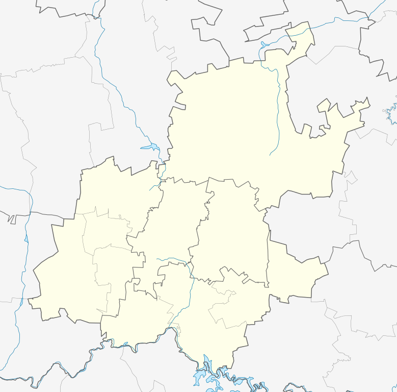
English: Location map of Gauteng
Equirectangular projection, N/S stretching 111%. Geographic limits of the map:
|
| ದಿನಾಂಕ | |
| ಆಕರ |
|
| ಕರ್ತೃ | Htonl |
| ಅನುಮತಿ (ಈ ಕಡತವನ್ನು ಮರುಬಳಕೆ ಮಾಡಲಾಗುತ್ತಿದೆ) |
I, the copyright holder of this work, hereby publish it under the following license: ಈ ಕಡತ ಕ್ರಿಯೇಟಿವ್ ಕಾಮನ್ಸ್ Attribution
-Share Alike 3.0 Unported ಪರವಾನಗಿ ಹೊಂದಿದೆ.
|
| ಇತರೆ ಆವೃತ್ತಿಗಳು | File:South Africa Gauteng relief location map.svg, File:Blank map of Gauteng (2011).svg |
.svg)
ಕಡತದ ಇತಿಹಾಸ
ದಿನ/ಕಾಲ ಒತ್ತಿದರೆ ಆ ಸಮಯದಲ್ಲಿ ಈ ಕಡತದ ವಸ್ತುಸ್ಥಿತಿ ತೋರುತ್ತದೆ.
| ದಿನ/ಕಾಲ | ಕಿರುನೋಟ | ಆಯಾಮಗಳು | ಬಳಕೆದಾರ | ಟಿಪ್ಪಣಿ | |
|---|---|---|---|---|---|
| ಪ್ರಸಕ್ತ | ೦೧:೫೨, ೬ ಜನವರಿ ೨೦೧೩ | | ೧,೦೬೧ × ೧,೦೪೬ (೯೭ KB) | Htonl | == {{int:filedesc}} == {{Information |Description ={{en|Location map of en:Gauteng Equirectangular projection, N/S stretching 111%. Geographic limits of the map: * N: 25° S * S: 27° S * W: 27° E * E: 29.25° E}} |Source = * Boundari... |
ಕಡತ ಬಳಕೆ
ಈ ಕೆಳಗಿನ ಪುಟವು ಈ ಚಿತ್ರಕ್ಕೆ ಸಂಪರ್ಕ ಹೊಂದಿದೆ:
ಜಾಗತಿಕ ಕಡತ ಉಪಯೋಗ
ಈ ಕಡತವನ್ನು ಕೆಳಗಿನ ಬೇರೆ ವಿಕಿಗಳೂ ಉಪಯೋಗಿಸುತ್ತಿವೆ:
- af.wikipedia.org ಮೇಲೆ ಬಳಕೆ
- Johannesburg
- Pretoria
- Heidelberg, Gauteng
- Suikerbosrand-natuurreservaat
- Roodepoort
- Sharpeville
- Centurion
- Cullinan
- Krugersdorp
- Springs
- Brakpan
- Kliptown
- Alberton
- Germiston
- Boksburg
- Benoni
- Carletonville
- Petervale, Johannesburg
- Marabastad
- Waterkloof
- Groenkloof
- Arcadia, Pretoria
- Vereeniging
- Kemptonpark
- Edenvale
- Nigel
- Meyerton
- Vanderbijlpark
- Elarduspark
- Soweto
- Wonderboomlughawe
- Irene
- Bapsfontein
- Bronkhorstspruit
- Randfontein
- Randburg
- Ennerdale
- Magaliesburg
- Sophiatown
- Rosettenville
- Kleinfontein
- Linden
- Woodmead, Johannesburg
- Mabopane
- Rosebank, Johannesburg
- Atteridgeville
- Capital Park
- Hammanskraal
- Westonaria
- Rayton
ಈ ಫೈಲ್ನ ಹೆಚ್ಚು ಜಾಗತಿಕ ಬಳಕೆಯನ್ನು ವೀಕ್ಷಿಸಿ.