
ಚಿತ್ರ:Outline Map of Sakhalin Oblast.svg

Size of this PNG preview of this SVG file: ೪೯೯ × ೫೯೯ ಪಿಕ್ಸೆಲ್ಗಳು. ಇತರ ರೆಸಲ್ಯೂಶನ್ಗಳು: ೨೦೦ × ೨೪೦ ಪಿಕ್ಸೆಲ್ಗಳು | ೪೦೦ × ೪೮೦ ಪಿಕ್ಸೆಲ್ಗಳು | ೬೪೦ × ೭೬೮ ಪಿಕ್ಸೆಲ್ಗಳು | ೮೫೩ × ೧,೦೨೪ ಪಿಕ್ಸೆಲ್ಗಳು | ೧,೭೦೬ × ೨,೦೪೮ ಪಿಕ್ಸೆಲ್ಗಳು | ೧,೧೨೭ × ೧,೩೫೩ ಪಿಕ್ಸೆಲ್ಗಳು.
ಮೂಲ ಕಡತ (SVG ಫೈಲು, ಸುಮಾರಾಗಿ ೧,೧೨೭ × ೧,೩೫೩ ಚಿತ್ರಬಿಂದುಗಳು, ಫೈಲಿನ ಗಾತ್ರ: ೧೧೦ KB)
ಈ ಫೈಲು ವಿಕಿಮೀಡಿಯ ಕಾಮನ್ಸ್ನಲ್ಲಿ ಇರುವುದು. ಅಲ್ಲಿನ ವಿವರಣೆ ಪುಟವನ್ನೇ ಕೆಳಗೆ ತೋರಿಸಲಾಗಿದೆ. ಕಾಮನ್ಸ್ ಕೃತಿಸ್ವಾಮ್ಯತೆಯಿಂದ ಮುಕ್ತ ಫೈಲುಗಳ ಒಂದು ಆಗರ. ಅಲ್ಲಿ ನೀವೂ ಸಹಕರಿಸಬಹುದು. |
ಸಾರಾಂಶ
| ವಿವರ |
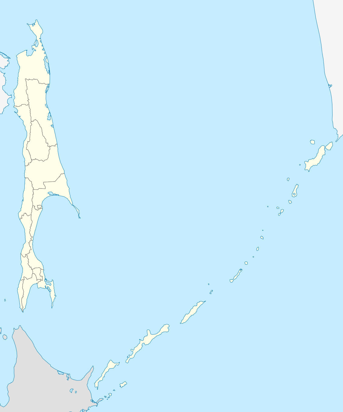
Русский: Позиционная карта Сахалинской области Равноугольная проекция, растяжение - 160%. Координаты краёв:
|
| ದಿನಾಂಕ | |
| ಆಕರ |
ಸ್ವಂತ ಕೆಲಸ This W3C-unspecified vector image was created with Inkscape . |
| ಕರ್ತೃ | Виктор В |
| ಇತರೆ ಆವೃತ್ತಿಗಳು |
[]
|

.svg)

ಪರವಾನಗಿ
I, the copyright holder of this work, hereby publish it under the following license:
| I, the copyright holder of this work, release this work into the public domain. This applies worldwide. In some countries this may not be legally possible; if so: I grant anyone the right to use this work for any purpose, without any conditions, unless such conditions are required by law. |
ಕಡತದ ಇತಿಹಾಸ
ದಿನ/ಕಾಲ ಒತ್ತಿದರೆ ಆ ಸಮಯದಲ್ಲಿ ಈ ಕಡತದ ವಸ್ತುಸ್ಥಿತಿ ತೋರುತ್ತದೆ.
| ದಿನ/ಕಾಲ | ಕಿರುನೋಟ | ಆಯಾಮಗಳು | ಬಳಕೆದಾರ | ಟಿಪ್ಪಣಿ | |
|---|---|---|---|---|---|
| ಪ್ರಸಕ್ತ | ೦೪:೦೪, ೨೩ ಫೆಬ್ರವರಿ ೨೦೧೦ | | ೧,೧೨೭ × ೧,೩೫೩ (೧೧೦ KB) | Виктор В | == {{int:filedesc}} == {{Information |Description={{ru|1=Позиционная карта Сахалинской области<br>Равноугольная проекция, растяжение - 160%. Координаты краёв: * север - 5 |
ಕಡತ ಬಳಕೆ
ಈ ಕೆಳಗಿನ ಪುಟವು ಈ ಚಿತ್ರಕ್ಕೆ ಸಂಪರ್ಕ ಹೊಂದಿದೆ:
ಜಾಗತಿಕ ಕಡತ ಉಪಯೋಗ
ಈ ಕಡತವನ್ನು ಕೆಳಗಿನ ಬೇರೆ ವಿಕಿಗಳೂ ಉಪಯೋಗಿಸುತ್ತಿವೆ:
- af.wikipedia.org ಮೇಲೆ ಬಳಕೆ
- ar.wikipedia.org ಮೇಲೆ ಬಳಕೆ
- az.wikipedia.org ಮೇಲೆ ಬಳಕೆ
- be-tarask.wikipedia.org ಮೇಲೆ ಬಳಕೆ
- be.wikipedia.org ಮೇಲೆ ಬಳಕೆ
- bg.wikipedia.org ಮೇಲೆ ಬಳಕೆ
- ceb.wikipedia.org ಮೇಲೆ ಬಳಕೆ
- ce.wikipedia.org ಮೇಲೆ ಬಳಕೆ
- Южно-Сахалинск
- Кеп:Меттиган карта Росси Сахалинан область
- Анива (гӀала)
- Благовещенски (Сахалинан область)
- Воскресенски (Сахалинан область)
- Высоки (Сахалинан область)
- Зеленодольск (Сахалинан область)
- Мицулевка
- Новотроицки (Сахалинан область)
- Огоньки (Сахалинан область)
- Песчански (Сахалинан область)
- Петропавловски (Сахалинан область)
- Рыбацки (Сахалинан область)
- Таранай
- Троицки (Сахалинан область)
- Успенски (Сахалинан область)
- Арсентьевка (Сахалинан область)
- Быков (Сахалинан область)
- Взморье (Сахалинан область)
- Долинск
- Октябрьски (Сахалинан область)
- Покровка (Сахалинан область)
ಈ ಫೈಲ್ನ ಹೆಚ್ಚು ಜಾಗತಿಕ ಬಳಕೆಯನ್ನು ವೀಕ್ಷಿಸಿ.