
ಚಿತ್ರ:Orkney Islands UK location map.svg

Size of this PNG preview of this SVG file: ೪೬೭ × ೫೯೯ ಪಿಕ್ಸೆಲ್ಗಳು. ಇತರ ರೆಸಲ್ಯೂಶನ್ಗಳು: ೧೮೭ × ೨೪೦ ಪಿಕ್ಸೆಲ್ಗಳು | ೩೭೪ × ೪೮೦ ಪಿಕ್ಸೆಲ್ಗಳು | ೫೯೯ × ೭೬೮ ಪಿಕ್ಸೆಲ್ಗಳು | ೭೯೮ × ೧,೦೨೪ ಪಿಕ್ಸೆಲ್ಗಳು | ೧,೫೯೬ × ೨,೦೪೮ ಪಿಕ್ಸೆಲ್ಗಳು | ೧,೧೧೦ × ೧,೪೨೪ ಪಿಕ್ಸೆಲ್ಗಳು.
ಮೂಲ ಕಡತ (SVG ಫೈಲು, ಸುಮಾರಾಗಿ ೧,೧೧೦ × ೧,೪೨೪ ಚಿತ್ರಬಿಂದುಗಳು, ಫೈಲಿನ ಗಾತ್ರ: ೨.೦೨ MB)
ಈ ಫೈಲು ವಿಕಿಮೀಡಿಯ ಕಾಮನ್ಸ್ನಲ್ಲಿ ಇರುವುದು. ಅಲ್ಲಿನ ವಿವರಣೆ ಪುಟವನ್ನೇ ಕೆಳಗೆ ತೋರಿಸಲಾಗಿದೆ. ಕಾಮನ್ಸ್ ಕೃತಿಸ್ವಾಮ್ಯತೆಯಿಂದ ಮುಕ್ತ ಫೈಲುಗಳ ಒಂದು ಆಗರ. ಅಲ್ಲಿ ನೀವೂ ಸಹಕರಿಸಬಹುದು. |
| ವಿವರ |
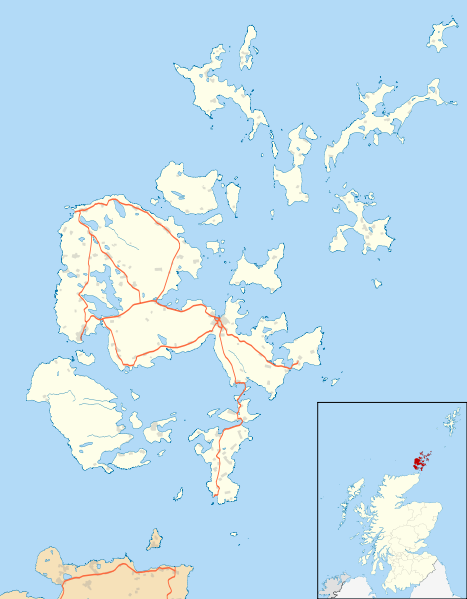
Blank map of the Orkney Islands (excluding Sule Stack and Sule Skerry), UK with the following information shown:
Equirectangular map projection on WGS 84 datum, with N/S stretched 180% Geographic limits:
|
| ದಿನಾಂಕ | |
| ಆಕರ |
|
| ಕರ್ತೃ | Nilfanion, created using Ordnance Survey data |
| ಅನುಮತಿ (ಈ ಕಡತವನ್ನು ಮರುಬಳಕೆ ಮಾಡಲಾಗುತ್ತಿದೆ) |
ಈ ಕಡತ ಕ್ರಿಯೇಟಿವ್ ಕಾಮನ್ಸ್ Attribution
-Share Alike 3.0 Unported ಪರವಾನಗಿ ಹೊಂದಿದೆ. ವೈಶಿಷ್ಟ್ಯ: Contains Ordnance Survey data © Crown copyright and database right
|
| ಇತರೆ ಆವೃತ್ತಿಗಳು | Orkney Islands UK blank map.svg - Blank map |
| SVG genesis |
ಕಡತದ ಇತಿಹಾಸ
ದಿನ/ಕಾಲ ಒತ್ತಿದರೆ ಆ ಸಮಯದಲ್ಲಿ ಈ ಕಡತದ ವಸ್ತುಸ್ಥಿತಿ ತೋರುತ್ತದೆ.
| ದಿನ/ಕಾಲ | ಕಿರುನೋಟ | ಆಯಾಮಗಳು | ಬಳಕೆದಾರ | ಟಿಪ್ಪಣಿ | |
|---|---|---|---|---|---|
| ಪ್ರಸಕ್ತ | ೦೧:೫೧, ೨೭ ಸೆಪ್ಟೆಂಬರ್ ೨೦೧೦ | | ೧,೧೧೦ × ೧,೪೨೪ (೨.೦೨ MB) | Nilfanion | {{Information |Description=Blank map of the Orkney Islands (excluding Sule Stack and Sule Skerry), UK with the following information shown: *Administrative borders *Coastline, lakes and rivers *Roads |
ಕಡತ ಬಳಕೆ
ಈ ಕೆಳಗಿನ ಪುಟವು ಈ ಚಿತ್ರಕ್ಕೆ ಸಂಪರ್ಕ ಹೊಂದಿದೆ:
ಜಾಗತಿಕ ಕಡತ ಉಪಯೋಗ
ಈ ಕಡತವನ್ನು ಕೆಳಗಿನ ಬೇರೆ ವಿಕಿಗಳೂ ಉಪಯೋಗಿಸುತ್ತಿವೆ:
- ar.wikipedia.org ಮೇಲೆ ಬಳಕೆ
- bg.wikipedia.org ಮೇಲೆ ಬಳಕೆ
- ceb.wikipedia.org ಮೇಲೆ ಬಳಕೆ
- de.wikipedia.org ಮೇಲೆ ಬಳಕೆ
- en.wikipedia.org ಮೇಲೆ ಬಳಕೆ
- Maeshowe
- Orkney
- Skara Brae
- Ring of Brodgar
- Kirkwall
- Stromness
- List of monastic houses in Scotland
- North Caledonian Football Association
- Stones of Stenness
- Barnhouse Settlement
- St Margaret's Hope
- Kirkwall Airport
- St Magnus Cathedral
- Evie, Orkney
- Earl's Palace, Kirkwall
- Bishop's Palace, Kirkwall
- Whitehall, Orkney
- Westray Airport
- Longhope, Orkney
- Voy
- Finstown
- Eday Airport
- North Ronaldsay Airport
- Papa Westray Airport
- Sanday Airport
- Stronsay Airport
- Herston, Orkney
- Burroughston Broch
- Balfour, Orkney
- Houton
- Lyness
- Bimbister
- Ancumtoun
- Backaland
ಈ ಫೈಲ್ನ ಹೆಚ್ಚು ಜಾಗತಿಕ ಬಳಕೆಯನ್ನು ವೀಕ್ಷಿಸಿ.