
ಚಿತ್ರ:Norway Troms location map.svg

ಮೂಲ ಕಡತ (SVG ಫೈಲು, ಸುಮಾರಾಗಿ ೭೧೪ × ೫೮೭ ಚಿತ್ರಬಿಂದುಗಳು, ಫೈಲಿನ ಗಾತ್ರ: ೨೧೪ KB)
ಈ ಫೈಲು ವಿಕಿಮೀಡಿಯ ಕಾಮನ್ಸ್ನಲ್ಲಿ ಇರುವುದು. ಅಲ್ಲಿನ ವಿವರಣೆ ಪುಟವನ್ನೇ ಕೆಳಗೆ ತೋರಿಸಲಾಗಿದೆ. ಕಾಮನ್ಸ್ ಕೃತಿಸ್ವಾಮ್ಯತೆಯಿಂದ ಮುಕ್ತ ಫೈಲುಗಳ ಒಂದು ಆಗರ. ಅಲ್ಲಿ ನೀವೂ ಸಹಕರಿಸಬಹುದು. |
ಸಾರಾಂಶ
| ವಿವರ |
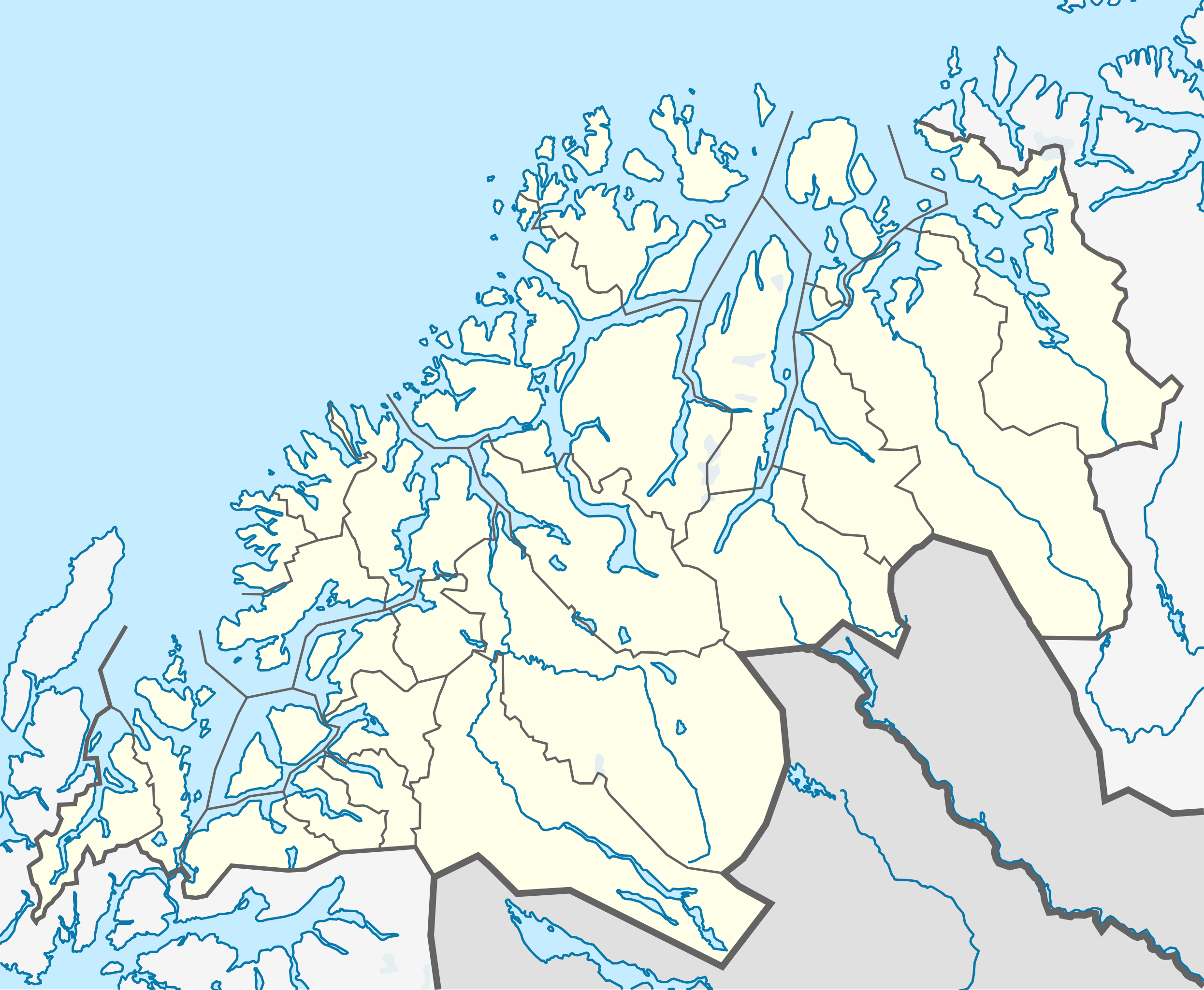
Quadratische Plattkarte, N-S-Streckung 284 %. Geographische Begrenzung der Karte:
Equirectangular projection, N/S stretching 284 %. Geographic limits of the map:
|
|
| ದಿನಾಂಕ | ||
| ಆಕರ |
ಸ್ವಂತ ಕೆಲಸ, using
|
|
| ಕರ್ತೃ | NordNordWest | |
| ಅನುಮತಿ (ಈ ಕಡತವನ್ನು ಮರುಬಳಕೆ ಮಾಡಲಾಗುತ್ತಿದೆ) |
This file is licensed under the Creative Commons Attribution-Share Alike 3.0 Germany license.
 This file is licensed under the Creative Commons Attribution-Share Alike 3.0 Germany license.
|


|
This map has been made or improved in the German Kartenwerkstatt (Map Lab). You can propose maps to improve as well.
|
ಕಡತದ ಇತಿಹಾಸ
ದಿನ/ಕಾಲ ಒತ್ತಿದರೆ ಆ ಸಮಯದಲ್ಲಿ ಈ ಕಡತದ ವಸ್ತುಸ್ಥಿತಿ ತೋರುತ್ತದೆ.
| ದಿನ/ಕಾಲ | ಕಿರುನೋಟ | ಆಯಾಮಗಳು | ಬಳಕೆದಾರ | ಟಿಪ್ಪಣಿ | |
|---|---|---|---|---|---|
| ಪ್ರಸಕ್ತ | ೨೩:೧೫, ೨ ಜನವರಿ ೨೦೧೩ | | ೭೧೪ × ೫೮೭ (೨೧೪ KB) | Jon Harald Søby | deleting border between Harstad and Bjarkøy, as the latter was merged into Harstad |
| ೦೩:೦೯, ೨೫ ನವೆಂಬರ್ ೨೦೧೧ |  | ೭೧೪ × ೫೮೭ (೨೦೮ KB) | NordNordWest | =={{int:filedesc}}== {{Information |Description= {{de|Positionskarte von Troms, Norwegen}} Quadratische Plattkarte, N-S-Streckung 284 %. Geographische Begrenzung der Karte: * N: 70.5° N * S: 68.3° N * W: 15.4° O * O: 23 |
ಕಡತ ಬಳಕೆ
ಈ ಕೆಳಗಿನ ಪುಟವು ಈ ಚಿತ್ರಕ್ಕೆ ಸಂಪರ್ಕ ಹೊಂದಿದೆ:
ಜಾಗತಿಕ ಕಡತ ಉಪಯೋಗ
ಈ ಕಡತವನ್ನು ಕೆಳಗಿನ ಬೇರೆ ವಿಕಿಗಳೂ ಉಪಯೋಗಿಸುತ್ತಿವೆ:
- ar.wikipedia.org ಮೇಲೆ ಬಳಕೆ
- ast.wikipedia.org ಮೇಲೆ ಬಳಕೆ
- azb.wikipedia.org ಮೇಲೆ ಬಳಕೆ
- ba.wikipedia.org ಮೇಲೆ ಬಳಕೆ
- bg.wikipedia.org ಮೇಲೆ ಬಳಕೆ
- ceb.wikipedia.org ಮೇಲೆ ಬಳಕೆ
- cs.wikipedia.org ಮೇಲೆ ಬಳಕೆ
- da.wikipedia.org ಮೇಲೆ ಬಳಕೆ
- de.wikipedia.org ಮೇಲೆ ಬಳಕೆ
- en.wikipedia.org ಮೇಲೆ ಬಳಕೆ
- Bardufoss
- Fauskevåg
- Burfjord
- Hinnøya
- Senja
- Borkenes
- Finnsnes
- Halti
- Sydspissen detention camp
- Stonglandseidet
- Vangsvik
- Sandstrand, Troms
- Tromsdalen
- Tjeldsundet
- Salangsdalen
- Tromsdalstinden
- Tromsdalen detention camp
- Laukhella
- Altevatnet
- Skjold (garrison)
- Kvaløya (Tromsø)
- Skibotn
- Kvaløysletta
- Njunis
- Ramsund, Norway
- Storsteinnes
- Nordkjosbotn
ಈ ಫೈಲ್ನ ಹೆಚ್ಚು ಜಾಗತಿಕ ಬಳಕೆಯನ್ನು ವೀಕ್ಷಿಸಿ.