
ಚಿತ್ರ:Norfolk Island location map.svg

Size of this PNG preview of this SVG file: ೬೦೯ × ೫೯೯ ಪಿಕ್ಸೆಲ್ಗಳು. ಇತರ ರೆಸಲ್ಯೂಶನ್ಗಳು: ೨೪೪ × ೨೪೦ ಪಿಕ್ಸೆಲ್ಗಳು | ೪೮೮ × ೪೮೦ ಪಿಕ್ಸೆಲ್ಗಳು | ೭೮೦ × ೭೬೮ ಪಿಕ್ಸೆಲ್ಗಳು | ೧,೦೪೦ × ೧,೦೨೪ ಪಿಕ್ಸೆಲ್ಗಳು | ೨,೦೮೧ × ೨,೦೪೮ ಪಿಕ್ಸೆಲ್ಗಳು | ೧,೨೦೧ × ೧,೧೮೨ ಪಿಕ್ಸೆಲ್ಗಳು.
ಮೂಲ ಕಡತ (SVG ಫೈಲು, ಸುಮಾರಾಗಿ ೧,೨೦೧ × ೧,೧೮೨ ಚಿತ್ರಬಿಂದುಗಳು, ಫೈಲಿನ ಗಾತ್ರ: ೮೮ KB)
ಈ ಫೈಲು ವಿಕಿಮೀಡಿಯ ಕಾಮನ್ಸ್ನಲ್ಲಿ ಇರುವುದು. ಅಲ್ಲಿನ ವಿವರಣೆ ಪುಟವನ್ನೇ ಕೆಳಗೆ ತೋರಿಸಲಾಗಿದೆ. ಕಾಮನ್ಸ್ ಕೃತಿಸ್ವಾಮ್ಯತೆಯಿಂದ ಮುಕ್ತ ಫೈಲುಗಳ ಒಂದು ಆಗರ. ಅಲ್ಲಿ ನೀವೂ ಸಹಕರಿಸಬಹುದು. |
ಸಾರಾಂಶ
| ವಿವರ |
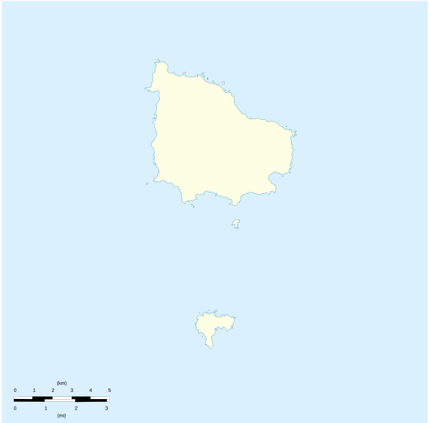
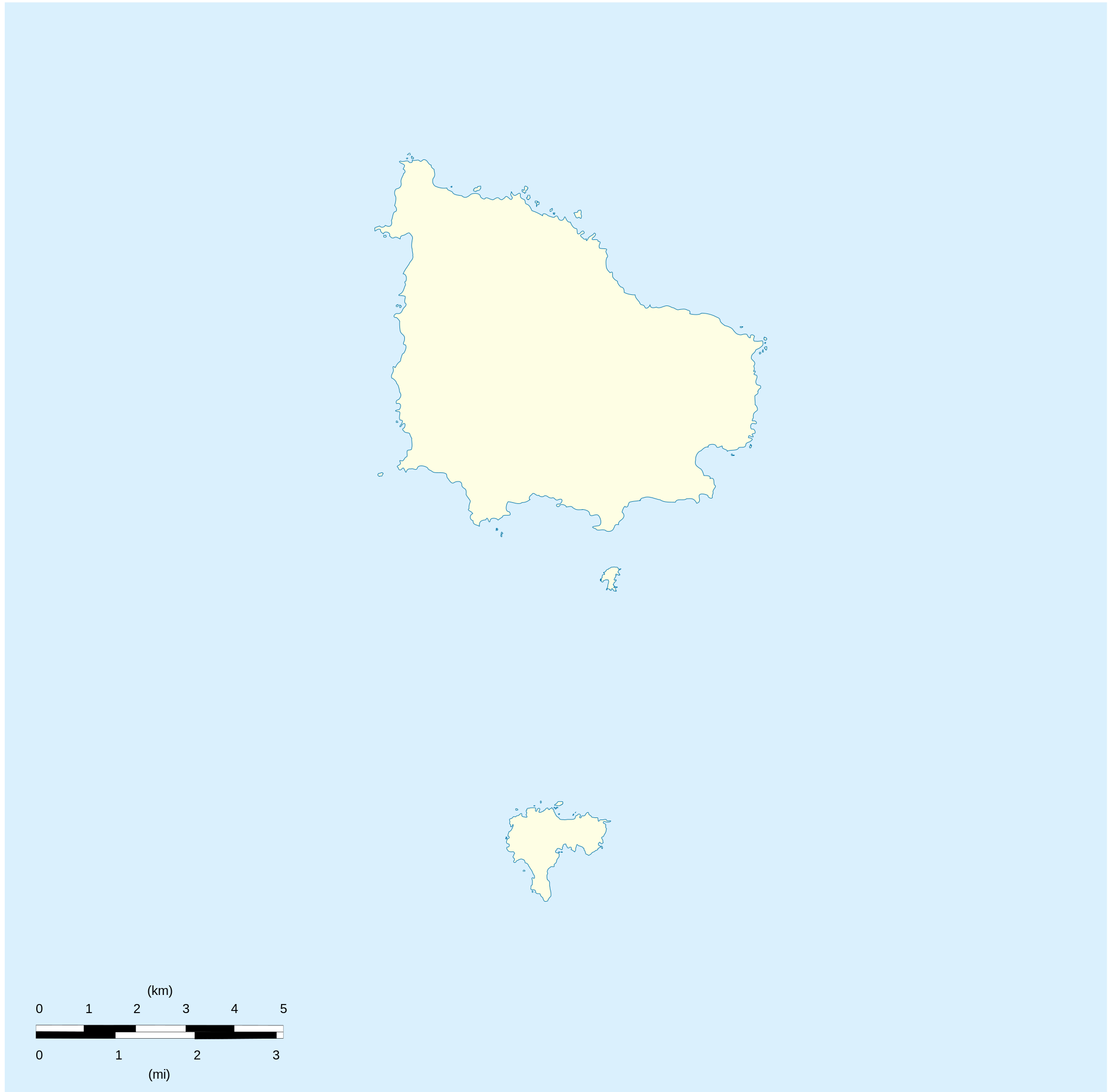
English: Location map of Norfolk_Island
Equirectangular projection. Geographic limits of the map:
Français : Carte de localisation des Île Norfolk
projection equirectangulaire. Les limites géographiques sont
|
| ದಿನಾಂಕ | |
| ಆಕರ |
ಸ್ವಂತ ಕೆಲಸ Détail de la carte Norfolk Island [1] Détail de la carte Nepean Island [2] Détail de la carte Philip Island [3] |
| ಕರ್ತೃ | Xfigpower |
ಪರವಾನಗಿ
I, the copyright holder of this work, hereby publish it under the following licenses:

|
GNU ಉಚಿತ ಡಾಕ್ಯುಮೆಂಟೇಶನ್ ಪರವಾನಗಿ, ಆವೃತ್ತಿಯ ನಿಯಮಗಳ ಅಡಿಯಲ್ಲಿ ಈ ಡಾಕ್ಯುಮೆಂಟ್ ಅನ್ನು ನಕಲಿಸಲು, ವಿತರಿಸಲು ಮತ್ತು/ಅಥವಾ ಮಾರ್ಪಡಿಸಲು ಅನುಮತಿಯನ್ನು ನೀಡಲಾಗಿದೆ. 1.2 ಅಥವಾ ಯಾವುದೇ ನಂತರದ ಆವೃತ್ತಿಯನ್ನು ಉಚಿತ ಸಾಫ್ಟ್ವೇರ್ ಫೌಂಡೇಶನ್ ಪ್ರಕಟಿಸಿದೆ; ಯಾವುದೇ ಅಸ್ಥಿರ ವಿಭಾಗಗಳಿಲ್ಲದೆ, ಮುಖ ಪಠ್ಯಗಳಿಲ್ಲ ಮತ್ತು ಹಿಂದಿನ ಕವರ್ ಪಠ್ಯಗಳಿಲ್ಲ. ಪರವಾನಗಿಯ ಪ್ರತಿಯನ್ನು GNU ಉಚಿತ ಡಾಕ್ಯುಮೆಂಟೇಶನ್ ಪರವಾನಗಿ ಎಂಬ ವಿಭಾಗದಲ್ಲಿ ಸೇರಿಸಲಾಗಿದೆ. |
This file is licensed under the Creative Commons Attribution 3.0 Unported license.
- ನೀವು ಮುಕ್ತ:
- ಹಂಚಿಕೆಗೆ – ಕೆಲಸವನ್ನು ನಕಲು ಮಾಡಲು, ವಿತರಣೆ ಮತ್ತು ಸಾಗಿಸಲು
- ರೀಮಿಕ್ಸ್ ಮಾಡಲು – ಕೆಲಸವನ್ನು ಬಳಸಿಕೊಳ್ಳಲು
- ಈ ಕೆಳಗಿನ ಷರತ್ತುಗಳಲ್ಲಿ:
- ವೈಶಿಷ್ಟ್ಯ – ನೀವು ಸೂಕ್ತವಾದ ಕ್ರೆಡಿಟ್ ನೀಡಬೇಕು, ಪರವಾನಗಿಗೆ ಲಿಂಕ್ ಅನ್ನು ಒದಗಿಸಬೇಕು ಮತ್ತು ಯಾವುದೇ ಬದಲಾವಣೆಗಳನ್ನು ಮಾಡಿದ್ದರೆ ಸೂಚಿಸಬೇಕು. ನೀವು ಯಾವುದೇ ಸಮಂಜಸವಾದ ರೀತಿಯಲ್ಲಿ ಮಾಡಬಹುದು, ಆದರೆ ಪರವಾನಗಿದಾರರು ನಿಮ್ಮನ್ನು ಅಥವಾ ನಿಮ್ಮ ಯಾವುದೇ ಬಳಕೆಯನ್ನು ಅನುಮೋದಿಸಿದಂತೆ ರೀತಿಯಲ್ಲಿ ಉಪಯೋಗಿಸಬಾರದು.
ನಿಮ್ಮಿಚ್ಛೆಯ ಪರವಾನಗಿಯನ್ನು ನೀವು ಆರಿಸಿಕೊಳ್ಳಬಹುದು.
ಕಡತದ ಇತಿಹಾಸ
ದಿನ/ಕಾಲ ಒತ್ತಿದರೆ ಆ ಸಮಯದಲ್ಲಿ ಈ ಕಡತದ ವಸ್ತುಸ್ಥಿತಿ ತೋರುತ್ತದೆ.
| ದಿನ/ಕಾಲ | ಕಿರುನೋಟ | ಆಯಾಮಗಳು | ಬಳಕೆದಾರ | ಟಿಪ್ಪಣಿ | |
|---|---|---|---|---|---|
| ಪ್ರಸಕ್ತ | ೦೨:೧೧, ೧೧ ಆಗಸ್ಟ್ ೨೦೧೦ | | ೧,೨೦೧ × ೧,೧೮೨ (೮೮ KB) | Xfigpower | {{Information |Description={{en|1=Location map of Norfolk_Island|}} Equirectangular projection. Geographic limits of the map: * N: 28°58' S * S: 29°10' S * W: 167°52' E * E: 168°02 E}} {{fr|1=Location map of [[:en:Norf |
ಕಡತ ಬಳಕೆ
ಈ ಕೆಳಗಿನ ಪುಟವು ಈ ಚಿತ್ರಕ್ಕೆ ಸಂಪರ್ಕ ಹೊಂದಿದೆ:
ಜಾಗತಿಕ ಕಡತ ಉಪಯೋಗ
ಈ ಕಡತವನ್ನು ಕೆಳಗಿನ ಬೇರೆ ವಿಕಿಗಳೂ ಉಪಯೋಗಿಸುತ್ತಿವೆ:
- af.wikipedia.org ಮೇಲೆ ಬಳಕೆ
- ar.wikipedia.org ಮೇಲೆ ಬಳಕೆ
- ast.wikipedia.org ಮೇಲೆ ಬಳಕೆ
- ba.wikipedia.org ಮೇಲೆ ಬಳಕೆ
- be-tarask.wikipedia.org ಮೇಲೆ ಬಳಕೆ
- be.wikipedia.org ಮೇಲೆ ಬಳಕೆ
- bg.wikipedia.org ಮೇಲೆ ಬಳಕೆ
- ceb.wikipedia.org ಮೇಲೆ ಬಳಕೆ
- Plantilya:Location map Australia Norfolk Island
- Rocky Point
- White Rock
- Bird Rock
- South Rock
- Ross Point
- Flat Rock
- Stockyard Creek
- Mount Pitt
- Cascade Bay
- Mount Bates
- Anson Bay
- Kingston
- Hunter Point
- Cascade Creek
- Ball Bay
- Nepean Island
- Collins Head
- Creswell Bay
- Emily Bay
- Jacobs Rock
- Sydney Bay
- Town Creek
- Watermill Creek
- Point Vincent
- Rocky Point Creek
- Norfolk Island (pagklaro)
- Point Howe
- Broken Bridge Creek
- Bradley Rocks
- Anson Point
- Norfolk Ridge
- Point Vincent (punta)
- Sydney Bay (luuk sa Norfolk Island, lat -29,07, long 167,95)
- Steels Point
- Point Ross
- Rocky Point (punta sa Pulo sa Norfolk)
ಈ ಫೈಲ್ನ ಹೆಚ್ಚು ಜಾಗತಿಕ ಬಳಕೆಯನ್ನು ವೀಕ್ಷಿಸಿ.