
ಚಿತ್ರ:Moscow oblast Kolomna district location map.svg

Size of this PNG preview of this SVG file: ೮೦೦ × ೫೨೧ ಪಿಕ್ಸೆಲ್ಗಳು. ಇತರ ರೆಸಲ್ಯೂಶನ್ಗಳು: ೩೨೦ × ೨೦೮ ಪಿಕ್ಸೆಲ್ಗಳು | ೬೪೦ × ೪೧೭ ಪಿಕ್ಸೆಲ್ಗಳು | ೧,೦೨೪ × ೬೬೭ ಪಿಕ್ಸೆಲ್ಗಳು | ೧,೨೮೦ × ೮೩೪ ಪಿಕ್ಸೆಲ್ಗಳು | ೨,೫೬೦ × ೧,೬೬೭ ಪಿಕ್ಸೆಲ್ಗಳು | ೧,೨೭೦ × ೮೨೭ ಪಿಕ್ಸೆಲ್ಗಳು.
ಮೂಲ ಕಡತ (SVG ಫೈಲು, ಸುಮಾರಾಗಿ ೧,೨೭೦ × ೮೨೭ ಚಿತ್ರಬಿಂದುಗಳು, ಫೈಲಿನ ಗಾತ್ರ: ೮೬ KB)
ಈ ಫೈಲು ವಿಕಿಮೀಡಿಯ ಕಾಮನ್ಸ್ನಲ್ಲಿ ಇರುವುದು. ಅಲ್ಲಿನ ವಿವರಣೆ ಪುಟವನ್ನೇ ಕೆಳಗೆ ತೋರಿಸಲಾಗಿದೆ. ಕಾಮನ್ಸ್ ಕೃತಿಸ್ವಾಮ್ಯತೆಯಿಂದ ಮುಕ್ತ ಫೈಲುಗಳ ಒಂದು ಆಗರ. ಅಲ್ಲಿ ನೀವೂ ಸಹಕರಿಸಬಹುದು. |
ಸಾರಾಂಶ
| ವಿವರ |
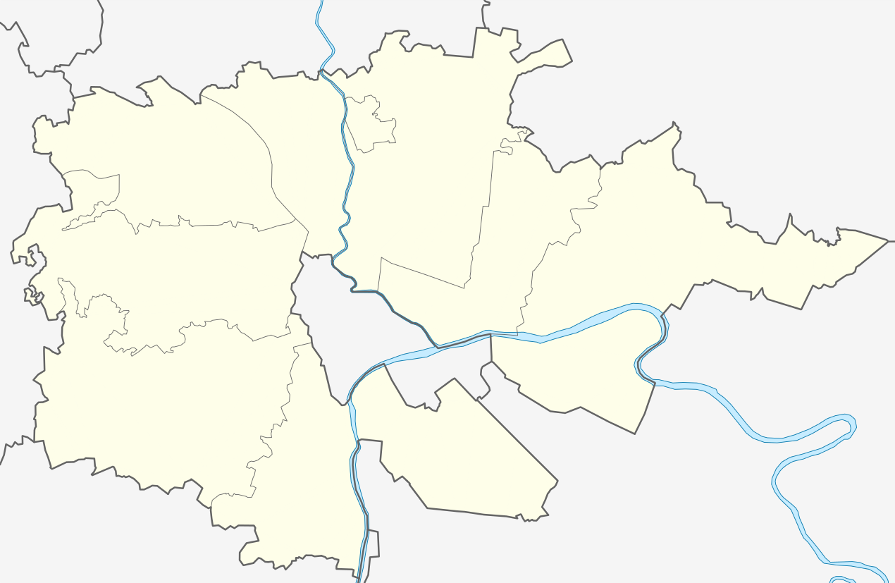
English: Moscow oblast Kolomna district location map |
| ದಿನಾಂಕ | |
| ಆಕರ | ಸ್ವಂತ ಕೆಲಸ |
| ಕರ್ತೃ | Bogomolov.PL |
N=55 deg 17' S=54 deg 56' W=38 deg 23' E=39 deg 20'
ಪರವಾನಗಿ
| I, the copyright holder of this work, release this work into the public domain. This applies worldwide. In some countries this may not be legally possible; if so: I grant anyone the right to use this work for any purpose, without any conditions, unless such conditions are required by law. |
ಕಡತದ ಇತಿಹಾಸ
ದಿನ/ಕಾಲ ಒತ್ತಿದರೆ ಆ ಸಮಯದಲ್ಲಿ ಈ ಕಡತದ ವಸ್ತುಸ್ಥಿತಿ ತೋರುತ್ತದೆ.
| ದಿನ/ಕಾಲ | ಕಿರುನೋಟ | ಆಯಾಮಗಳು | ಬಳಕೆದಾರ | ಟಿಪ್ಪಣಿ | |
|---|---|---|---|---|---|
| ಪ್ರಸಕ್ತ | ೨೨:೦೭, ೧೭ ಅಕ್ಟೋಬರ್ ೨೦೦೮ | | ೧,೨೭೦ × ೮೨೭ (೮೬ KB) | Bogomolov.PL | {{Information |Description=Moscow_oblast_Kolomna_district_location_map |Source= |Date=2008-10-16 |Author=Bogomolov.PL |Permission= |other_versions= }} |
| ೨೧:೪೯, ೧೭ ಅಕ್ಟೋಬರ್ ೨೦೦೮ |  | ೧,೪೦೦ × ೯೯೦ (೮೭ KB) | Bogomolov.PL | {{Information |Description={{en|1=Moscow oblast Kolomna district location map}} |Source=Own work by uploader |Author=Bogomolov.PL |Date=2008-10-17 |Permission= |other_versions= }} N=56 deg 17' S=55 deg 56' W=37 deg 23' E=38 deg 20' |
ಕಡತ ಬಳಕೆ
ಈ ಕೆಳಗಿನ ಪುಟವು ಈ ಚಿತ್ರಕ್ಕೆ ಸಂಪರ್ಕ ಹೊಂದಿದೆ:
ಜಾಗತಿಕ ಕಡತ ಉಪಯೋಗ
ಈ ಕಡತವನ್ನು ಕೆಳಗಿನ ಬೇರೆ ವಿಕಿಗಳೂ ಉಪಯೋಗಿಸುತ್ತಿವೆ:
- ar.wikipedia.org ಮೇಲೆ ಬಳಕೆ
- ceb.wikipedia.org ಮೇಲೆ ಬಳಕೆ
- de.wikipedia.org ಮೇಲೆ ಬಳಕೆ
- fa.wikipedia.org ಮೇಲೆ ಬಳಕೆ
- fr.wikipedia.org ಮೇಲೆ ಬಳಕೆ
- ru.wikipedia.org ಮೇಲೆ ಬಳಕೆ
- tr.wikipedia.org ಮೇಲೆ ಬಳಕೆ
- ur.wikipedia.org ಮೇಲೆ ಬಳಕೆ
- war.wikipedia.org ಮೇಲೆ ಬಳಕೆ