
ಚಿತ್ರ:Montréal-blank.png
ಈ ಮುನ್ನೋಟ ಗಾತ್ರ:೭೨೩ × ೫೯೯ ಪಿಕ್ಸೆಲ್ಗಳು. ಇತರ ರೆಸಲ್ಯೂಶನ್ಗಳು: ೨೯೦ × ೨೪೦ ಪಿಕ್ಸೆಲ್ಗಳು | ೫೭೯ × ೪೮೦ ಪಿಕ್ಸೆಲ್ಗಳು | ೮೪೧ × ೬೯೭ ಪಿಕ್ಸೆಲ್ಗಳು.
ಮೂಲ ಕಡತ (೮೪೧ × ೬೯೭ ಚಿತ್ರಬಿಂದು, ಫೈಲಿನ ಗಾತ್ರ: ೧೮೬ KB, MIME ಪ್ರಕಾರ: image/png)
ಈ ಫೈಲು ವಿಕಿಮೀಡಿಯ ಕಾಮನ್ಸ್ನಲ್ಲಿ ಇರುವುದು. ಅಲ್ಲಿನ ವಿವರಣೆ ಪುಟವನ್ನೇ ಕೆಳಗೆ ತೋರಿಸಲಾಗಿದೆ. ಕಾಮನ್ಸ್ ಕೃತಿಸ್ವಾಮ್ಯತೆಯಿಂದ ಮುಕ್ತ ಫೈಲುಗಳ ಒಂದು ಆಗರ. ಅಲ್ಲಿ ನೀವೂ ಸಹಕರಿಸಬಹುದು. |
ಸಾರಾಂಶ
| ವಿವರ |
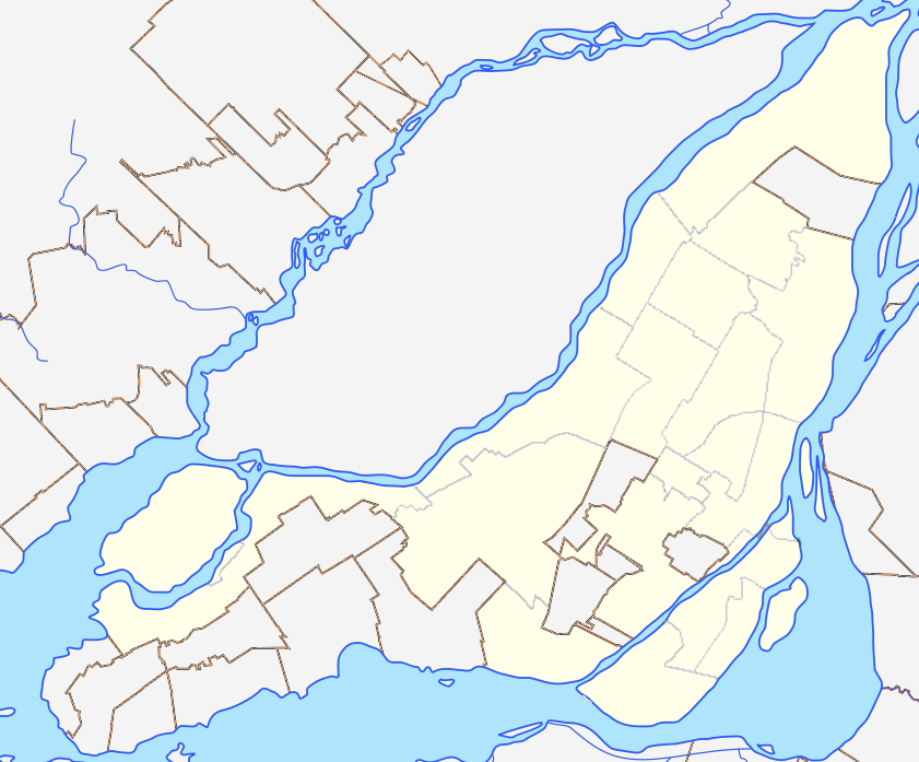
English: Blank map of Montreal and Laval Islands to be used for en:Template:Location map Canada Montreal. Colours are matched to File:Canada Quebec location map 2.svg for consistency. |
| ದಿನಾಂಕ | (UTC) |
| ಆಕರ |
This file was derived from: Région métropolitaine de Montréal-blank.svg: |
| ಕರ್ತೃ |
|
ಪರವಾನಗಿ
I, the copyright holder of this work, hereby publish it under the following license:
ಈ ಕಡತ ಕ್ರಿಯೇಟಿವ್ ಕಾಮನ್ಸ್ Attribution
-Share Alike 3.0 Unported ಪರವಾನಗಿ ಹೊಂದಿದೆ.
- ನೀವು ಮುಕ್ತ:
- ಹಂಚಿಕೆಗೆ – ಕೆಲಸವನ್ನು ನಕಲು ಮಾಡಲು, ವಿತರಣೆ ಮತ್ತು ಸಾಗಿಸಲು
- ರೀಮಿಕ್ಸ್ ಮಾಡಲು – ಕೆಲಸವನ್ನು ಬಳಸಿಕೊಳ್ಳಲು
- ಈ ಕೆಳಗಿನ ಷರತ್ತುಗಳಲ್ಲಿ:
- ವೈಶಿಷ್ಟ್ಯ – ನೀವು ಸೂಕ್ತವಾದ ಕ್ರೆಡಿಟ್ ನೀಡಬೇಕು, ಪರವಾನಗಿಗೆ ಲಿಂಕ್ ಅನ್ನು ಒದಗಿಸಬೇಕು ಮತ್ತು ಯಾವುದೇ ಬದಲಾವಣೆಗಳನ್ನು ಮಾಡಿದ್ದರೆ ಸೂಚಿಸಬೇಕು. ನೀವು ಯಾವುದೇ ಸಮಂಜಸವಾದ ರೀತಿಯಲ್ಲಿ ಮಾಡಬಹುದು, ಆದರೆ ಪರವಾನಗಿದಾರರು ನಿಮ್ಮನ್ನು ಅಥವಾ ನಿಮ್ಮ ಯಾವುದೇ ಬಳಕೆಯನ್ನು ಅನುಮೋದಿಸಿದಂತೆ ರೀತಿಯಲ್ಲಿ ಉಪಯೋಗಿಸಬಾರದು.
- ಇರುವುದರಂತೆಯೇ ಹಂಚು – ನೀವು ರೀಮಿಕ್ಸ್ ಮಾಡಿದರೆ, ರೂಪಾಂತರಗೊಳಿಸಿದರೆ ಅಥವಾ ವಸ್ತುವಿನ ಮೇಲೆ ನಿರ್ಮಿಸಿದರೆ, ನಿಮ್ಮ ಕೊಡುಗೆಗಳನ್ನು ನೀವು ಮೂಲದಂತೆ ಅದೇ ಅಥವಾ ಹೊಂದಾಣಿಕೆಯ ಪರವಾನಗಿ ಅಡಿಯಲ್ಲಿ ವಿತರಿಸಬೇಕು.
Original upload log
This image is a derivative work of the following images:
- File:Région_métropolitaine_de_Montréal-blank.svg licensed with Cc-by-sa-3.0
- 2012-07-28T22:03:53Z Flappiefh 1667x1511 (335659 Bytes) La carte précédente était inclinée de 3,8° par rapport au nord. Corrigé.
- 2012-07-27T16:44:18Z Flappiefh 1694x1416 (354061 Bytes) Rotation de 3.8° (le Nord est désormais aligné avec les bords de la carte). Correction des cours d'eau.
- 2012-07-21T08:13:01Z Flappiefh 1714x1526 (338754 Bytes) Ajustement des cours d'eau et des bords du Saint-Laurent.
- 2012-07-21T07:49:12Z Flappiefh 1714x1526 (338185 Bytes)
Uploaded with derivativeFX
ಕಡತದ ಇತಿಹಾಸ
ದಿನ/ಕಾಲ ಒತ್ತಿದರೆ ಆ ಸಮಯದಲ್ಲಿ ಈ ಕಡತದ ವಸ್ತುಸ್ಥಿತಿ ತೋರುತ್ತದೆ.
| ದಿನ/ಕಾಲ | ಕಿರುನೋಟ | ಆಯಾಮಗಳು | ಬಳಕೆದಾರ | ಟಿಪ್ಪಣಿ | |
|---|---|---|---|---|---|
| ಪ್ರಸಕ್ತ | ೧೦:೦೪, ೧೬ ಡಿಸೆಂಬರ್ ೨೦೧೨ | | ೮೪೧ × ೬೯೭ (೧೮೬ KB) | P199 | thinner borough lines |
| ೦೫:೨೮, ೧೫ ಡಿಸೆಂಬರ್ ೨೦೧೨ |  | ೮೪೧ × ೬೯೭ (೧೯೭ KB) | P199 | == {{int:filedesc}} == {{Information |Description={{en|1=Blank map of Montreal and Laval Islands to be used for en:Template:Location map Canada Montreal. Colours are matched to for consistency.}} |Source={{Derived from|Région_métropolitaine_de_M... |
ಕಡತ ಬಳಕೆ
ಈ ಕೆಳಗಿನ 2 ಪುಟಗಳು ಈ ಚಿತ್ರಕ್ಕೆ ಸಂಪರ್ಕ ಹೊಂದಿವೆ:
ಜಾಗತಿಕ ಕಡತ ಉಪಯೋಗ
ಈ ಕಡತವನ್ನು ಕೆಳಗಿನ ಬೇರೆ ವಿಕಿಗಳೂ ಉಪಯೋಗಿಸುತ್ತಿವೆ:
- ar.wikipedia.org ಮೇಲೆ ಬಳಕೆ
- azb.wikipedia.org ಮೇಲೆ ಬಳಕೆ
- en.wikipedia.org ಮೇಲೆ ಬಳಕೆ
- Talk:Island of Montreal
- Mount Royal
- Notre-Dame-de-Grâce
- Bell Centre
- Mary, Queen of the World Cathedral
- Canadian Centre for Architecture
- Olympic Stadium (Montreal)
- Christ Church Cathedral (Montreal)
- Hochelaga-Maisonneuve
- Ahuntsic
- Pierrefonds, Quebec
- L'Île-Bizard, Quebec
- Percival Molson Memorial Stadium
- Hôtel-Dieu de Montréal
- Montreal Casino
- Pointe-Saint-Charles
- Griffintown
- Place Jacques-Cartier
- Notre Dame Island
- Royal Victoria Hospital, Montreal
- McCord Stewart Museum
- Golden Square Mile
- Schwartz's
- List of airports in the Montreal area
- Quartier Latin, Montreal
- Rivière-des-Prairies–Pointe-aux-Trembles–Montréal-Est
- Saint-Henri, Montreal
- Villeray, Montreal
- Quartier international de Montréal
- Dow Planetarium
- KPMG Tower
- Chinatown, Montreal
- Allan Memorial Institute
- Montreal Holocaust Museum
- Old Montreal
- Shriners Hospital for Children – Canada
- Little Italy, Montreal
- Gay Village, Montreal
- Roxboro, Quebec
- World Trade Centre Montreal
- Louis-Hippolyte Lafontaine Bridge–Tunnel
- Montreal Central Station
- Victoria Square, Montreal
- Ville-Émard
- Sainte-Geneviève, Quebec
- St. James United Church (Montreal)
- Montreal City Hall
ಈ ಫೈಲ್ನ ಹೆಚ್ಚು ಜಾಗತಿಕ ಬಳಕೆಯನ್ನು ವೀಕ್ಷಿಸಿ.