
ಚಿತ್ರ:Map India and Pakistan 1-250,000 Tile NG 46-2 Towang.jpg

ಈ ಮುನ್ನೋಟ ಗಾತ್ರ:೭೯೪ × ೬೦೦ ಪಿಕ್ಸೆಲ್ಗಳು. ಇತರ ರೆಸಲ್ಯೂಶನ್ಗಳು: ೩೧೮ × ೨೪೦ ಪಿಕ್ಸೆಲ್ಗಳು | ೬೩೬ × ೪೮೦ ಪಿಕ್ಸೆಲ್ಗಳು | ೧,೦೧೭ × ೭೬೮ ಪಿಕ್ಸೆಲ್ಗಳು | ೧,೨೮೦ × ೯೬೭ ಪಿಕ್ಸೆಲ್ಗಳು | ೨,೫೬೦ × ೧,೯೩೪ ಪಿಕ್ಸೆಲ್ಗಳು | ೫,೦೦೦ × ೩,೭೭೭ ಪಿಕ್ಸೆಲ್ಗಳು.
ಮೂಲ ಕಡತ (೫,೦೦೦ × ೩,೭೭೭ ಚಿತ್ರಬಿಂದು, ಫೈಲಿನ ಗಾತ್ರ: ೯.೪೬ MB, MIME ಪ್ರಕಾರ: image/jpeg)
ಈ ಫೈಲು ವಿಕಿಮೀಡಿಯ ಕಾಮನ್ಸ್ನಲ್ಲಿ ಇರುವುದು. ಅಲ್ಲಿನ ವಿವರಣೆ ಪುಟವನ್ನೇ ಕೆಳಗೆ ತೋರಿಸಲಾಗಿದೆ. ಕಾಮನ್ಸ್ ಕೃತಿಸ್ವಾಮ್ಯತೆಯಿಂದ ಮುಕ್ತ ಫೈಲುಗಳ ಒಂದು ಆಗರ. ಅಲ್ಲಿ ನೀವೂ ಸಹಕರಿಸಬಹುದು. |
| Description |
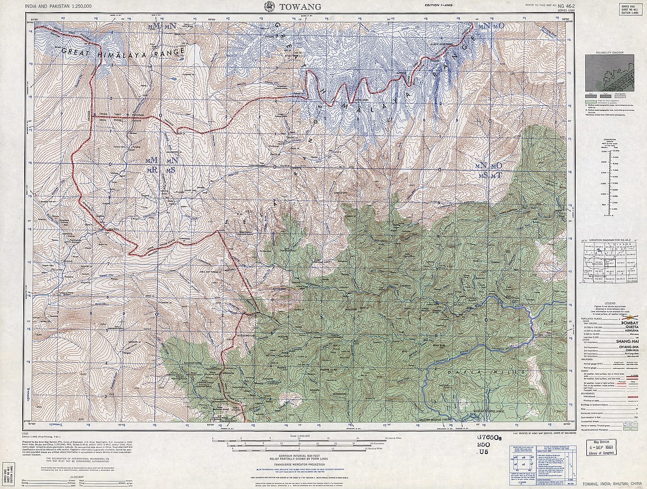
English: NG 46-2 Towang. Tile of the Map India and Pakistan 1:250,000. Series U502, U.S. Army Map Service, 1955 |
||||||
| ದಿನಾಂಕ | Printed 1961 by the U.S. Army Map Service, Corps of Engineers (compiled in 1955) | ||||||
| ಆಕರ | https://www.lib.utexas.edu/maps/ams/india/ [1] | ||||||
| ಸೃಷ್ಟಿಕರ್ತ |
English: U.S. Army Map Service |
||||||
| ಅನುಮತಿ (ಈ ಕಡತವನ್ನು ಮರುಬಳಕೆ ಮಾಡಲಾಗುತ್ತಿದೆ) |
|
||||||
| Georeferencing | If inappropriate please set warp_status = skip to hide. | ||||||
| ಇತರೆ ಆವೃತ್ತಿಗಳು |
|
||||||

.jpg)

![[1]](http://www.lib.utexas.edu/maps/ams/india/ng-46-02.jpg)
| Annotations | This image is annotated: View the annotations at Commons |
ಕಡತದ ಇತಿಹಾಸ
ದಿನ/ಕಾಲ ಒತ್ತಿದರೆ ಆ ಸಮಯದಲ್ಲಿ ಈ ಕಡತದ ವಸ್ತುಸ್ಥಿತಿ ತೋರುತ್ತದೆ.
| ದಿನ/ಕಾಲ | ಕಿರುನೋಟ | ಆಯಾಮಗಳು | ಬಳಕೆದಾರ | ಟಿಪ್ಪಣಿ | |
|---|---|---|---|---|---|
| ಪ್ರಸಕ್ತ | ೧೨:೨೦, ೨೭ ಜನವರಿ ೨೦೧೩ | | ೫,೦೦೦ × ೩,೭೭೭ (೯.೪೬ MB) | Slick-o-bot | Bot: convert to a non-interlaced jpeg (see bug #17645) |
| ೦೦:೧೫, ೧೨ ಸೆಪ್ಟೆಂಬರ್ ೨೦೧೨ |  | ೫,೦೦೦ × ೩,೭೭೭ (೯.೦೬ MB) | Slick-o-bot | {{Information |Description={{en|1=NG 46-2 Towang. Tile of the Map India and Pakistan 1:250,000. Series U502, U.S. Army Map Service, 1955}} |Source=https://www.lib.utexas.edu/maps/ams/india/ [http://www.lib.utexas.edu/maps/ams/india/ng-46-02.jpg] |Date=... |
ಕಡತ ಬಳಕೆ
ಈ ಕೆಳಗಿನ ಪುಟವು ಈ ಚಿತ್ರಕ್ಕೆ ಸಂಪರ್ಕ ಹೊಂದಿದೆ:
ಜಾಗತಿಕ ಕಡತ ಉಪಯೋಗ
ಈ ಕಡತವನ್ನು ಕೆಳಗಿನ ಬೇರೆ ವಿಕಿಗಳೂ ಉಪಯೋಗಿಸುತ್ತಿವೆ:
- en.wikipedia.org ಮೇಲೆ ಬಳಕೆ
- he.wikipedia.org ಮೇಲೆ ಬಳಕೆ
- it.wikipedia.org ಮೇಲೆ ಬಳಕೆ
- ru.wikipedia.org ಮೇಲೆ ಬಳಕೆ