
ಚಿತ್ರ:Kent UK relief location map.jpg
ಈ ಮುನ್ನೋಟ ಗಾತ್ರ:೮೦೦ × ೫೬೧ ಪಿಕ್ಸೆಲ್ಗಳು. ಇತರ ರೆಸಲ್ಯೂಶನ್ಗಳು: ೩೨೦ × ೨೨೪ ಪಿಕ್ಸೆಲ್ಗಳು | ೬೪೦ × ೪೪೯ ಪಿಕ್ಸೆಲ್ಗಳು | ೧,೦೨೪ × ೭೧೮ ಪಿಕ್ಸೆಲ್ಗಳು | ೧,೨೮೦ × ೮೯೮ ಪಿಕ್ಸೆಲ್ಗಳು | ೧,೯೯೯ × ೧,೪೦೨ ಪಿಕ್ಸೆಲ್ಗಳು.
ಮೂಲ ಕಡತ (೧,೯೯೯ × ೧,೪೦೨ ಚಿತ್ರಬಿಂದು, ಫೈಲಿನ ಗಾತ್ರ: ೩೦೧ KB, MIME ಪ್ರಕಾರ: image/jpeg)
ಈ ಫೈಲು ವಿಕಿಮೀಡಿಯ ಕಾಮನ್ಸ್ನಲ್ಲಿ ಇರುವುದು. ಅಲ್ಲಿನ ವಿವರಣೆ ಪುಟವನ್ನೇ ಕೆಳಗೆ ತೋರಿಸಲಾಗಿದೆ. ಕಾಮನ್ಸ್ ಕೃತಿಸ್ವಾಮ್ಯತೆಯಿಂದ ಮುಕ್ತ ಫೈಲುಗಳ ಒಂದು ಆಗರ. ಅಲ್ಲಿ ನೀವೂ ಸಹಕರಿಸಬಹುದು. |
| ವಿವರ |
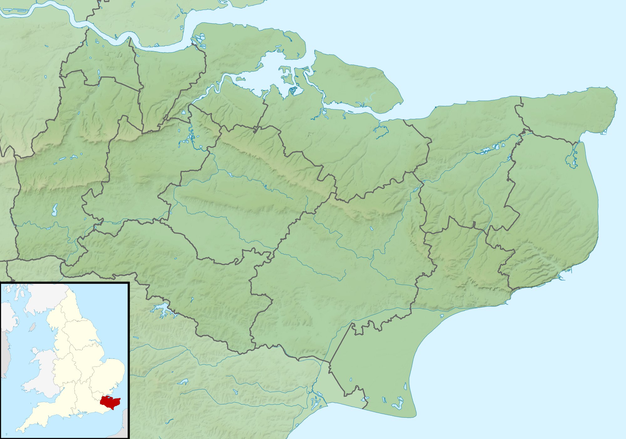
Relief map of Kent, UK. Equirectangular map projection on WGS 84 datum, with N/S stretched 160% Geographic limits:
|
| ದಿನಾಂಕ | |
| ಆಕರ |
|
| ಕರ್ತೃ | Nilfanion, created using Ordnance Survey data |
| ಅನುಮತಿ (ಈ ಕಡತವನ್ನು ಮರುಬಳಕೆ ಮಾಡಲಾಗುತ್ತಿದೆ) |
ಈ ಕಡತ ಕ್ರಿಯೇಟಿವ್ ಕಾಮನ್ಸ್ Attribution
-Share Alike 3.0 Unported ಪರವಾನಗಿ ಹೊಂದಿದೆ. ವೈಶಿಷ್ಟ್ಯ: Contains Ordnance Survey data © Crown copyright and database right
|
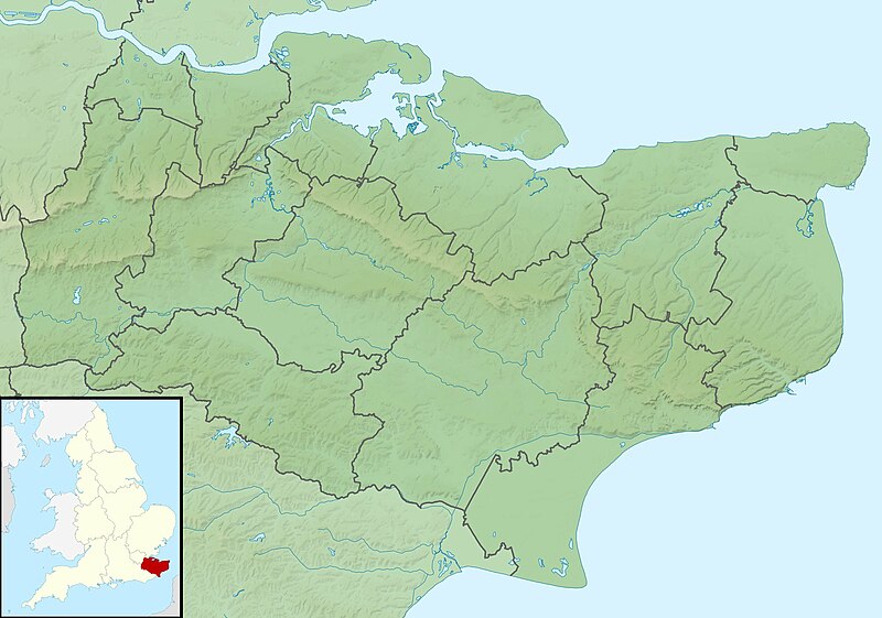
| ಇತರೆ ಆವೃತ್ತಿಗಳು | File:Kent UK district map (blank).svg - Blank map |
.svg)
ಕಡತದ ಇತಿಹಾಸ
ದಿನ/ಕಾಲ ಒತ್ತಿದರೆ ಆ ಸಮಯದಲ್ಲಿ ಈ ಕಡತದ ವಸ್ತುಸ್ಥಿತಿ ತೋರುತ್ತದೆ.
| ದಿನ/ಕಾಲ | ಕಿರುನೋಟ | ಆಯಾಮಗಳು | ಬಳಕೆದಾರ | ಟಿಪ್ಪಣಿ | |
|---|---|---|---|---|---|
| ಪ್ರಸಕ್ತ | ೦೭:೧೨, ೨೯ ನವೆಂಬರ್ ೨೦೧೧ | | ೧,೯೯೯ × ೧,೪೦೨ (೩೦೧ KB) | Nilfanion | {{Information |Description=Relief map of Kent, UK. Equirectangular map projection on WGS 84 datum, with N/S stretched 160% Geographic limits: *West: 0.01E *East: 1.47E *North: 51.52N *South: 50.88N |Source=[[w:Ordnance Survey|Ordnance Survey] |
ಕಡತ ಬಳಕೆ
ಈ ಕೆಳಗಿನ ಪುಟವು ಈ ಚಿತ್ರಕ್ಕೆ ಸಂಪರ್ಕ ಹೊಂದಿದೆ:
ಜಾಗತಿಕ ಕಡತ ಉಪಯೋಗ
ಈ ಕಡತವನ್ನು ಕೆಳಗಿನ ಬೇರೆ ವಿಕಿಗಳೂ ಉಪಯೋಗಿಸುತ್ತಿವೆ:
- ar.wikipedia.org ಮೇಲೆ ಬಳಕೆ
- bg.wikipedia.org ಮೇಲೆ ಬಳಕೆ
- ceb.wikipedia.org ಮೇಲೆ ಬಳಕೆ
- el.wikipedia.org ಮೇಲೆ ಬಳಕೆ
- en.wikipedia.org ಮೇಲೆ ಬಳಕೆ
- John Dixwell
- Ightham Mote
- Chartwell
- Bewl Water
- Volvo World Match Play Championship
- Royal Cinque Ports Golf Club
- Michael Livesey
- Medway Gap
- Battle of Maidstone
- London Seniors Masters
- Walmer Lifeboat Station
- Betsom's Hill
- Cliffe Fort
- The Grange, Ramsgate
- 1993 Open Championship
- Long Barn
- Ramsgate Lifeboat Station
- Nathaniel Rich (soldier)
- Capel Manor House
- User:Jokulhlaup/draftarticle21
- Broome Park
- St Augustine's Abbey
- Margate Lifeboat Station
- Whitstable Lifeboat Station
- Sheerness Lifeboat Station
- Dover Lifeboat Station
- SS Maloja
- Poundsbridge Manor
- Dover lorry deaths
- Module:Location map/data/United Kingdom Kent
- Module:Location map/data/Kent
- Module:Location map/data/United Kingdom Kent/doc
ಈ ಫೈಲ್ನ ಹೆಚ್ಚು ಜಾಗತಿಕ ಬಳಕೆಯನ್ನು ವೀಕ್ಷಿಸಿ.