
ಚಿತ್ರ:Europe blank laea location map.svg

Size of this PNG preview of this SVG file: ೭೦೧ × ೫೯೯ ಪಿಕ್ಸೆಲ್ಗಳು. ಇತರ ರೆಸಲ್ಯೂಶನ್ಗಳು: ೨೮೧ × ೨೪೦ ಪಿಕ್ಸೆಲ್ಗಳು | ೫೬೧ × ೪೮೦ ಪಿಕ್ಸೆಲ್ಗಳು | ೮೯೮ × ೭೬೮ ಪಿಕ್ಸೆಲ್ಗಳು | ೧,೧೯೮ × ೧,೦೨೪ ಪಿಕ್ಸೆಲ್ಗಳು | ೨,೩೯೫ × ೨,೦೪೮ ಪಿಕ್ಸೆಲ್ಗಳು | ೧,೪೦೧ × ೧,೧೯೮ ಪಿಕ್ಸೆಲ್ಗಳು.
ಮೂಲ ಕಡತ (SVG ಫೈಲು, ಸುಮಾರಾಗಿ ೧,೪೦೧ × ೧,೧೯೮ ಚಿತ್ರಬಿಂದುಗಳು, ಫೈಲಿನ ಗಾತ್ರ: ೧.೪೨ MB)
ಈ ಫೈಲು ವಿಕಿಮೀಡಿಯ ಕಾಮನ್ಸ್ನಲ್ಲಿ ಇರುವುದು. ಅಲ್ಲಿನ ವಿವರಣೆ ಪುಟವನ್ನೇ ಕೆಳಗೆ ತೋರಿಸಲಾಗಿದೆ. ಕಾಮನ್ಸ್ ಕೃತಿಸ್ವಾಮ್ಯತೆಯಿಂದ ಮುಕ್ತ ಫೈಲುಗಳ ಒಂದು ಆಗರ. ಅಲ್ಲಿ ನೀವೂ ಸಹಕರಿಸಬಹುದು. |
Bosnia
ಸಾರಾಂಶ
| ವಿವರ |
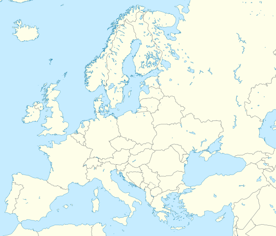
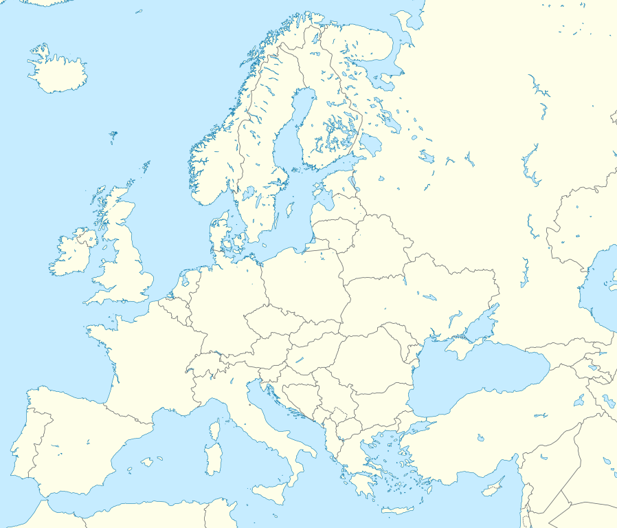
Deutsch: Positionskarte Europa; Politisch mit Staatsgrenzen; Flächentreue Azimutalprojektion
English: Location map Europe; Political with state boundaries; Lambert azimuthal equal-area projection
|
| ದಿನಾಂಕ | |
| ಆಕರ |
ಸ್ವಂತ ಕೆಲಸ
|
| ಕರ್ತೃ | Alexrk2 |
| ಇತರೆ ಆವೃತ್ತಿಗಳು |
Derivative works of this file: []
|


.svg)


|
This map has been made or improved in the German Kartenwerkstatt (Map Lab). You can propose maps to improve as well.
|
ಪರವಾನಗಿ
I, the copyright holder of this work, hereby publish it under the following license:
ಈ ಕಡತ ಕ್ರಿಯೇಟಿವ್ ಕಾಮನ್ಸ್ Attribution
-Share Alike 3.0 Unported ಪರವಾನಗಿ ಹೊಂದಿದೆ.
- ನೀವು ಮುಕ್ತ:
- ಹಂಚಿಕೆಗೆ – ಕೆಲಸವನ್ನು ನಕಲು ಮಾಡಲು, ವಿತರಣೆ ಮತ್ತು ಸಾಗಿಸಲು
- ರೀಮಿಕ್ಸ್ ಮಾಡಲು – ಕೆಲಸವನ್ನು ಬಳಸಿಕೊಳ್ಳಲು
- ಈ ಕೆಳಗಿನ ಷರತ್ತುಗಳಲ್ಲಿ:
- ವೈಶಿಷ್ಟ್ಯ – ನೀವು ಸೂಕ್ತವಾದ ಕ್ರೆಡಿಟ್ ನೀಡಬೇಕು, ಪರವಾನಗಿಗೆ ಲಿಂಕ್ ಅನ್ನು ಒದಗಿಸಬೇಕು ಮತ್ತು ಯಾವುದೇ ಬದಲಾವಣೆಗಳನ್ನು ಮಾಡಿದ್ದರೆ ಸೂಚಿಸಬೇಕು. ನೀವು ಯಾವುದೇ ಸಮಂಜಸವಾದ ರೀತಿಯಲ್ಲಿ ಮಾಡಬಹುದು, ಆದರೆ ಪರವಾನಗಿದಾರರು ನಿಮ್ಮನ್ನು ಅಥವಾ ನಿಮ್ಮ ಯಾವುದೇ ಬಳಕೆಯನ್ನು ಅನುಮೋದಿಸಿದಂತೆ ರೀತಿಯಲ್ಲಿ ಉಪಯೋಗಿಸಬಾರದು.
- ಇರುವುದರಂತೆಯೇ ಹಂಚು – ನೀವು ರೀಮಿಕ್ಸ್ ಮಾಡಿದರೆ, ರೂಪಾಂತರಗೊಳಿಸಿದರೆ ಅಥವಾ ವಸ್ತುವಿನ ಮೇಲೆ ನಿರ್ಮಿಸಿದರೆ, ನಿಮ್ಮ ಕೊಡುಗೆಗಳನ್ನು ನೀವು ಮೂಲದಂತೆ ಅದೇ ಅಥವಾ ಹೊಂದಾಣಿಕೆಯ ಪರವಾನಗಿ ಅಡಿಯಲ್ಲಿ ವಿತರಿಸಬೇಕು.
ಕಡತದ ಇತಿಹಾಸ
ದಿನ/ಕಾಲ ಒತ್ತಿದರೆ ಆ ಸಮಯದಲ್ಲಿ ಈ ಕಡತದ ವಸ್ತುಸ್ಥಿತಿ ತೋರುತ್ತದೆ.
| ದಿನ/ಕಾಲ | ಕಿರುನೋಟ | ಆಯಾಮಗಳು | ಬಳಕೆದಾರ | ಟಿಪ್ಪಣಿ | |
|---|---|---|---|---|---|
| ಪ್ರಸಕ್ತ | ೦೮:೪೩, ೯ ಮಾರ್ಚ್ ೨೦೨೦ | | ೧,೪೦೧ × ೧,೧೯೮ (೧.೪೨ MB) | Ratherous | Add more inland water for better accuracy |
| ೧೫:೫೮, ೧ ಫೆಬ್ರವರಿ ೨೦೨೦ |  | ೧,೪೦೧ × ೧,೧೯೮ (೧.೮೪ MB) | Thayts | + disputed crimea, golan heights, and other minor border tweaks | |
| ೦೨:೨೦, ೧೨ ಮಾರ್ಚ್ ೨೦೧೦ |  | ೧,೪೦೧ × ೧,೧೯೮ (೧.೮೪ MB) | Alexrk2 | fixing inland water | |
| ೦೧:೨೮, ೧೨ ಮಾರ್ಚ್ ೨೦೧೦ |  | ೧,೪೦೧ × ೧,೧೯೮ (೧.೮೩ MB) | Alexrk2 | == Summary == {{Information |Description= {{de|Positionskarte Europa; Politisch mit Staatsgrenzen; Flächentreue Azimutalprojektion}} {{en|Location map Europe; Political with state boundaries; Lambert azimuthal equal-area pro |
ಕಡತ ಬಳಕೆ
ಈ ಕೆಳಗಿನ ಪುಟವು ಈ ಚಿತ್ರಕ್ಕೆ ಸಂಪರ್ಕ ಹೊಂದಿದೆ:
ಜಾಗತಿಕ ಕಡತ ಉಪಯೋಗ
ಈ ಕಡತವನ್ನು ಕೆಳಗಿನ ಬೇರೆ ವಿಕಿಗಳೂ ಉಪಯೋಗಿಸುತ್ತಿವೆ:
- ab.wikipedia.org ಮೇಲೆ ಬಳಕೆ
- af.wikipedia.org ಮೇಲೆ ಬಳಕೆ
- als.wikipedia.org ಮೇಲೆ ಬಳಕೆ
- ar.wikipedia.org ಮೇಲೆ ಬಳಕೆ
- دوري أبطال أوروبا 2000–01
- دوري أبطال أوروبا 1994–95
- دوري أبطال أوروبا 1995–96
- دوري أبطال أوروبا 1996–97
- قالب:خريطة مواقع أوروبا
- بطولات رابطة محترفي التنس 500 نقطة
- الدوري الأوروبي لكرة السلة
- قالب:خريطة موقع أوروبا
- مجموعة سيتي لكرة القدم
- دوري أبطال أوروبا لكرة اليد
- الدوري الأوروبي 2016–17
- الكأس الدولية للأبطال 2016
- دوري أبطال أوروبا 2017–18
- الكأس الدولية للأبطال 2019
- قائمة مدن الاتحاد الأوروبي حسب تعداد السكان المسلمين
- ناسداك نورديك
- قالب:2019–20 coronavirus pandemic data/Map (dots)
- يوروكوربس
- دوري المؤتمر الأوروبي 2021–22
- دوري السوبر الأوروبي
- الدوري الأوروبي 2022–23
- سباق الجائزة الكبرى للدراجات النارية موسم 2022
- دوري أبطال أوروبا 2023–24
- الدوري الأوروبي 2023–24
- سباق الجائزة الكبرى للدراجات النارية موسم 2023
- دوري المؤتمر الأوروبي 2023–24
- arz.wikipedia.org ಮೇಲೆ ಬಳಕೆ
- ast.wikipedia.org ಮೇಲೆ ಬಳಕೆ
- av.wikipedia.org ಮೇಲೆ ಬಳಕೆ
- azb.wikipedia.org ಮೇಲೆ ಬಳಕೆ
ಈ ಫೈಲ್ನ ಹೆಚ್ಚು ಜಾಗತಿಕ ಬಳಕೆಯನ್ನು ವೀಕ್ಷಿಸಿ.