
ಚಿತ್ರ:Egypt relief location map.jpg

ಈ ಮುನ್ನೋಟ ಗಾತ್ರ:೬೫೦ × ೫೯೯ ಪಿಕ್ಸೆಲ್ಗಳು. ಇತರ ರೆಸಲ್ಯೂಶನ್ಗಳು: ೨೬೦ × ೨೪೦ ಪಿಕ್ಸೆಲ್ಗಳು | ೫೨೦ × ೪೮೦ ಪಿಕ್ಸೆಲ್ಗಳು | ೮೩೩ × ೭೬೮ ಪಿಕ್ಸೆಲ್ಗಳು | ೧,೦೫೫ × ೯೭೩ ಪಿಕ್ಸೆಲ್ಗಳು.
ಮೂಲ ಕಡತ (೧,೦೫೫ × ೯೭೩ ಚಿತ್ರಬಿಂದು, ಫೈಲಿನ ಗಾತ್ರ: ೪೫೯ KB, MIME ಪ್ರಕಾರ: image/jpeg)
ಈ ಫೈಲು ವಿಕಿಮೀಡಿಯ ಕಾಮನ್ಸ್ನಲ್ಲಿ ಇರುವುದು. ಅಲ್ಲಿನ ವಿವರಣೆ ಪುಟವನ್ನೇ ಕೆಳಗೆ ತೋರಿಸಲಾಗಿದೆ. ಕಾಮನ್ಸ್ ಕೃತಿಸ್ವಾಮ್ಯತೆಯಿಂದ ಮುಕ್ತ ಫೈಲುಗಳ ಒಂದು ಆಗರ. ಅಲ್ಲಿ ನೀವೂ ಸಹಕರಿಸಬಹುದು. |
ಸಾರಾಂಶ
| ವಿವರ |
Deutsch: Relief Positionskarte von Ägypten
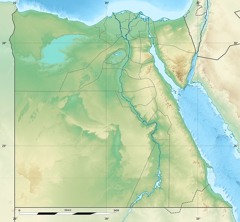
English: Physical location map of Egypt.
Français : Carte physique vierge destinée à la géolocalisation de l'Égypte telle que depuis le 14 avril 2011 suite à la dissolution des gouvernorats du 6 Octobre et de Helwan. Topographic scale: 1:4,932,000 (precision: 1,233 m)
Geographic limits of the map:
|
||
| ದಿನಾಂಕ | 2010-03, updated 2014-06 | ||
| ಆಕರ |
Topographic background map: Own work
|
||
| ಕರ್ತೃ | Eric Gaba (Sting - fr:Sting) and NordNordWest | ||
| ಅನುಮತಿ (ಈ ಕಡತವನ್ನು ಮರುಬಳಕೆ ಮಾಡಲಾಗುತ್ತಿದೆ) |
|
||
| ಇತರೆ ಆವೃತ್ತಿಗಳು |
Derivative works of this file: Lower Egypt ancient nomes position map.jpg
|


| Camera location | | View this and other nearby images on: OpenStreetMap |
|---|

|
This map has been made or improved in the German Kartenwerkstatt (Map Lab). You can propose maps to improve as well.
|
ಪರವಾನಗಿ
I, the copyright holder of this work, hereby publish it under the following licenses:

|
GNU ಉಚಿತ ಡಾಕ್ಯುಮೆಂಟೇಶನ್ ಪರವಾನಗಿ, ಆವೃತ್ತಿಯ ನಿಯಮಗಳ ಅಡಿಯಲ್ಲಿ ಈ ಡಾಕ್ಯುಮೆಂಟ್ ಅನ್ನು ನಕಲಿಸಲು, ವಿತರಿಸಲು ಮತ್ತು/ಅಥವಾ ಮಾರ್ಪಡಿಸಲು ಅನುಮತಿಯನ್ನು ನೀಡಲಾಗಿದೆ. 1.2 ಅಥವಾ ಯಾವುದೇ ನಂತರದ ಆವೃತ್ತಿಯನ್ನು ಉಚಿತ ಸಾಫ್ಟ್ವೇರ್ ಫೌಂಡೇಶನ್ ಪ್ರಕಟಿಸಿದೆ; ಯಾವುದೇ ಅಸ್ಥಿರ ವಿಭಾಗಗಳಿಲ್ಲದೆ, ಮುಖ ಪಠ್ಯಗಳಿಲ್ಲ ಮತ್ತು ಹಿಂದಿನ ಕವರ್ ಪಠ್ಯಗಳಿಲ್ಲ. ಪರವಾನಗಿಯ ಪ್ರತಿಯನ್ನು GNU ಉಚಿತ ಡಾಕ್ಯುಮೆಂಟೇಶನ್ ಪರವಾನಗಿ ಎಂಬ ವಿಭಾಗದಲ್ಲಿ ಸೇರಿಸಲಾಗಿದೆ. |
ಈ ಕಡತ ಕ್ರಿಯೇಟಿವ್ ಕಾಮನ್ಸ್ Attribution
-Share Alike 3.0 Unported ಪರವಾನಗಿ ಹೊಂದಿದೆ.
- ನೀವು ಮುಕ್ತ:
- ಹಂಚಿಕೆಗೆ – ಕೆಲಸವನ್ನು ನಕಲು ಮಾಡಲು, ವಿತರಣೆ ಮತ್ತು ಸಾಗಿಸಲು
- ರೀಮಿಕ್ಸ್ ಮಾಡಲು – ಕೆಲಸವನ್ನು ಬಳಸಿಕೊಳ್ಳಲು
- ಈ ಕೆಳಗಿನ ಷರತ್ತುಗಳಲ್ಲಿ:
- ವೈಶಿಷ್ಟ್ಯ – ನೀವು ಸೂಕ್ತವಾದ ಕ್ರೆಡಿಟ್ ನೀಡಬೇಕು, ಪರವಾನಗಿಗೆ ಲಿಂಕ್ ಅನ್ನು ಒದಗಿಸಬೇಕು ಮತ್ತು ಯಾವುದೇ ಬದಲಾವಣೆಗಳನ್ನು ಮಾಡಿದ್ದರೆ ಸೂಚಿಸಬೇಕು. ನೀವು ಯಾವುದೇ ಸಮಂಜಸವಾದ ರೀತಿಯಲ್ಲಿ ಮಾಡಬಹುದು, ಆದರೆ ಪರವಾನಗಿದಾರರು ನಿಮ್ಮನ್ನು ಅಥವಾ ನಿಮ್ಮ ಯಾವುದೇ ಬಳಕೆಯನ್ನು ಅನುಮೋದಿಸಿದಂತೆ ರೀತಿಯಲ್ಲಿ ಉಪಯೋಗಿಸಬಾರದು.
- ಇರುವುದರಂತೆಯೇ ಹಂಚು – ನೀವು ರೀಮಿಕ್ಸ್ ಮಾಡಿದರೆ, ರೂಪಾಂತರಗೊಳಿಸಿದರೆ ಅಥವಾ ವಸ್ತುವಿನ ಮೇಲೆ ನಿರ್ಮಿಸಿದರೆ, ನಿಮ್ಮ ಕೊಡುಗೆಗಳನ್ನು ನೀವು ಮೂಲದಂತೆ ಅದೇ ಅಥವಾ ಹೊಂದಾಣಿಕೆಯ ಪರವಾನಗಿ ಅಡಿಯಲ್ಲಿ ವಿತರಿಸಬೇಕು.
ನಿಮ್ಮಿಚ್ಛೆಯ ಪರವಾನಗಿಯನ್ನು ನೀವು ಆರಿಸಿಕೊಳ್ಳಬಹುದು.
ಕಡತದ ಇತಿಹಾಸ
ದಿನ/ಕಾಲ ಒತ್ತಿದರೆ ಆ ಸಮಯದಲ್ಲಿ ಈ ಕಡತದ ವಸ್ತುಸ್ಥಿತಿ ತೋರುತ್ತದೆ.
| ದಿನ/ಕಾಲ | ಕಿರುನೋಟ | ಆಯಾಮಗಳು | ಬಳಕೆದಾರ | ಟಿಪ್ಪಣಿ | |
|---|---|---|---|---|---|
| ಪ್ರಸಕ್ತ | ೧೯:೩೧, ೧೮ ಆಗಸ್ಟ್ ೨೦೧೭ | | ೧,೦೫೫ × ೯೭೩ (೪೫೯ KB) | Mélomène | According with [https://en.wikipedia.org/wiki/Hala%27ib_Triangle] |
| ೦೧:೨೩, ೧೪ ಜೂನ್ ೨೦೧೪ |  | ೧,೦೫೫ × ೯೭೩ (೪೫೦ KB) | Sting | Color profile | |
| ೦೧:೧೩, ೧೪ ಜೂನ್ ೨೦೧೪ |  | ೧,೦೫೫ × ೯೭೩ (೪೨೨ KB) | Sting | Updated Governorates borders shape | |
| ೧೯:೨೯, ೧೮ ಏಪ್ರಿಲ್ ೨೦೧೧ |  | ೧,೦೫೫ × ೯೭೫ (೪೧೫ KB) | Sting | Updated after Governorats dissolution | |
| ೧೯:೦೦, ೧೯ ಜುಲೈ ೨೦೧೦ |  | ೧,೦೫೫ × ೯೭೩ (೪೫೧ KB) | Sting | Color profile | |
| ೦೦:೩೪, ೮ ಮಾರ್ಚ್ ೨೦೧೦ |  | ೧,೦೫೫ × ೯೭೩ (೪೫೦ KB) | Sting | == {{int:filedesc}} == {{Location|26|42|00|N|30|45|00|E|scale:10000000}} <br/> {{Information |Description= {{de|Relief Positionskarte von Ägypten}} {{en|Physical location map of Egypt.}} {{fr|Carte physique vierge de l'[[:f |
ಕಡತ ಬಳಕೆ
ಈ ಕೆಳಗಿನ ಪುಟವು ಈ ಚಿತ್ರಕ್ಕೆ ಸಂಪರ್ಕ ಹೊಂದಿದೆ:
ಜಾಗತಿಕ ಕಡತ ಉಪಯೋಗ
ಈ ಕಡತವನ್ನು ಕೆಳಗಿನ ಬೇರೆ ವಿಕಿಗಳೂ ಉಪಯೋಗಿಸುತ್ತಿವೆ:
- als.wikipedia.org ಮೇಲೆ ಬಳಕೆ
- ar.wikipedia.org ಮೇಲೆ ಬಳಕೆ
- arz.wikipedia.org ಮೇಲೆ ಬಳಕೆ
- ast.wikipedia.org ಮೇಲೆ ಬಳಕೆ
- Mar Roxu
- Canal de Suez
- Colosos de Coptos
- Faru d'Alexandría
- Muséu Exipcianu d'El Cairu
- Pirámides d'Exiptu
- Presa d'Asuán
- El Cairu
- Columna de Pompeyo
- Templu de Ramsés II (Abu Simbel)
- Módulu:Mapa de llocalización/datos/Exiptu
- Menfis
- Valle de los Reis
- Ilesia ortodoxa d'Alexandría
- Canal de los Faraones
- Biblioteca d'Alexandría
- Universidá d'al-Azhar
- Universidá d'El Cairu
- Alexandría
- Golfu d'Áqaba
- Gran Pirámide de Guiza
- Catacumbes de Kom el Shogafa
- Ciudadela d'El Cairu
- Península del Sinaí
- Abu Simbel
- Bibliotheca Alexandrina
- Templu d'Edfu
- Módulu:Mapa de llocalización/datos/Exiptu/usu
- Estadiu Internacional d'El Cairu
- KV63
- Damieta
- Cueva de les Besties
- Elefantina
- Gran Muséu Exipciu
ಈ ಫೈಲ್ನ ಹೆಚ್ಚು ಜಾಗತಿಕ ಬಳಕೆಯನ್ನು ವೀಕ್ಷಿಸಿ.