
ಚಿತ್ರ:East Riding of Yorkshire UK relief location map.jpg

ಈ ಮುನ್ನೋಟ ಗಾತ್ರ:೭೭೩ × ೬೦೦ ಪಿಕ್ಸೆಲ್ಗಳು. ಇತರ ರೆಸಲ್ಯೂಶನ್ಗಳು: ೩೦೯ × ೨೪೦ ಪಿಕ್ಸೆಲ್ಗಳು | ೬೧೯ × ೪೮೦ ಪಿಕ್ಸೆಲ್ಗಳು | ೯೯೦ × ೭೬೮ ಪಿಕ್ಸೆಲ್ಗಳು | ೧,೨೮೦ × ೯೯೩ ಪಿಕ್ಸೆಲ್ಗಳು | ೧,೯೯೯ × ೧,೫೫೧ ಪಿಕ್ಸೆಲ್ಗಳು.
ಮೂಲ ಕಡತ (೧,೯೯೯ × ೧,೫೫೧ ಚಿತ್ರಬಿಂದು, ಫೈಲಿನ ಗಾತ್ರ: ೨೨೫ KB, MIME ಪ್ರಕಾರ: image/jpeg)
ಈ ಫೈಲು ವಿಕಿಮೀಡಿಯ ಕಾಮನ್ಸ್ನಲ್ಲಿ ಇರುವುದು. ಅಲ್ಲಿನ ವಿವರಣೆ ಪುಟವನ್ನೇ ಕೆಳಗೆ ತೋರಿಸಲಾಗಿದೆ. ಕಾಮನ್ಸ್ ಕೃತಿಸ್ವಾಮ್ಯತೆಯಿಂದ ಮುಕ್ತ ಫೈಲುಗಳ ಒಂದು ಆಗರ. ಅಲ್ಲಿ ನೀವೂ ಸಹಕರಿಸಬಹುದು. |
| ವಿವರ |
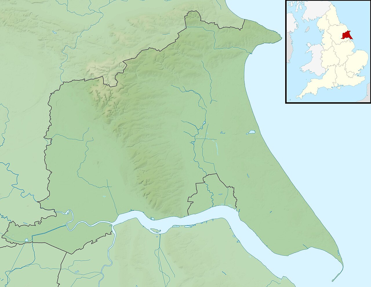
Relief map of the East Riding of Yorkshire, UK. Equirectangular map projection on WGS 84 datum, with N/S stretched 165% Geographic limits:
|
| ದಿನಾಂಕ | |
| ಆಕರ |
|
| ಕರ್ತೃ | Nilfanion, created using Ordnance Survey data |
| ಅನುಮತಿ (ಈ ಕಡತವನ್ನು ಮರುಬಳಕೆ ಮಾಡಲಾಗುತ್ತಿದೆ) |
ಈ ಕಡತ ಕ್ರಿಯೇಟಿವ್ ಕಾಮನ್ಸ್ Attribution
-Share Alike 3.0 Unported ಪರವಾನಗಿ ಹೊಂದಿದೆ. ವೈಶಿಷ್ಟ್ಯ: Contains Ordnance Survey data © Crown copyright and database right
|
| ಇತರೆ ಆವೃತ್ತಿಗಳು | File:East Riding of Yorkshire UK district map (blank).svg - Blank map |
.svg)
ಕಡತದ ಇತಿಹಾಸ
ದಿನ/ಕಾಲ ಒತ್ತಿದರೆ ಆ ಸಮಯದಲ್ಲಿ ಈ ಕಡತದ ವಸ್ತುಸ್ಥಿತಿ ತೋರುತ್ತದೆ.
| ದಿನ/ಕಾಲ | ಕಿರುನೋಟ | ಆಯಾಮಗಳು | ಬಳಕೆದಾರ | ಟಿಪ್ಪಣಿ | |
|---|---|---|---|---|---|
| ಪ್ರಸಕ್ತ | ೦೭:೦೩, ೨೯ ನವೆಂಬರ್ ೨೦೧೧ | | ೧,೯೯೯ × ೧,೫೫೧ (೨೨೫ KB) | Nilfanion | {{Information |Description=Relief map of the East Riding of Yorkshire, UK. Equirectangular map projection on WGS 84 datum, with N/S stretched 165% Geographic limits: *West: 1.11W *East: 0.25E *North: 54.20N *South: 53.56N |
ಕಡತ ಬಳಕೆ
ಈ ಕೆಳಗಿನ ಪುಟವು ಈ ಚಿತ್ರಕ್ಕೆ ಸಂಪರ್ಕ ಹೊಂದಿದೆ:
ಜಾಗತಿಕ ಕಡತ ಉಪಯೋಗ
ಈ ಕಡತವನ್ನು ಕೆಳಗಿನ ಬೇರೆ ವಿಕಿಗಳೂ ಉಪಯೋಗಿಸುತ್ತಿವೆ:
- ar.wikipedia.org ಮೇಲೆ ಬಳಕೆ
- arz.wikipedia.org ಮೇಲೆ ಬಳಕೆ
- bg.wikipedia.org ಮೇಲೆ ಬಳಕೆ
- ceb.wikipedia.org ಮೇಲೆ ಬಳಕೆ
- en.wikipedia.org ಮೇಲೆ ಬಳಕೆ
- Flamborough Head
- Bishop Wilton Wold
- Hornsea Mere
- West Beck
- Siege of Hull (1643)
- Gypsey Race
- Bewholme Vicarage
- Module:Location map/data/United Kingdom East Riding of Yorkshire
- Module:Location map/data/East Riding of Yorkshire
- Module:Location map/data/United Kingdom East Riding of Yorkshire/doc
- User:DutchTreat/Projects/Places
- Siemens Goole
- River Hull tidal surge barrier
- Pensana Salt End
- Winestead Drain
- Lambwath Stream
- es.wikipedia.org ಮೇಲೆ ಬಳಕೆ
- fr.wikipedia.org ಮೇಲೆ ಬಳಕೆ
- ja.wikipedia.org ಮೇಲೆ ಬಳಕೆ
- mk.wikipedia.org ಮೇಲೆ ಬಳಕೆ
- nl.wikipedia.org ಮೇಲೆ ಬಳಕೆ
- os.wikipedia.org ಮೇಲೆ ಬಳಕೆ
- pl.wikipedia.org ಮೇಲೆ ಬಳಕೆ
- pl.wikibooks.org ಮೇಲೆ ಬಳಕೆ
- ru.wikipedia.org ಮೇಲೆ ಬಳಕೆ
- simple.wikipedia.org ಮೇಲೆ ಬಳಕೆ
- si.wikipedia.org ಮೇಲೆ ಬಳಕೆ
- sv.wikipedia.org ಮೇಲೆ ಬಳಕೆ
- tr.wikipedia.org ಮೇಲೆ ಬಳಕೆ
- war.wikipedia.org ಮೇಲೆ ಬಳಕೆ
- www.wikidata.org ಮೇಲೆ ಬಳಕೆ
- zh.wikipedia.org ಮೇಲೆ ಬಳಕೆ