
ಚಿತ್ರ:East Ayrshire UK location map.svg

Size of this PNG preview of this SVG file: ೪೦೩ × ೫೯೯ ಪಿಕ್ಸೆಲ್ಗಳು. ಇತರ ರೆಸಲ್ಯೂಶನ್ಗಳು: ೧೬೧ × ೨೪೦ ಪಿಕ್ಸೆಲ್ಗಳು | ೩೨೩ × ೪೮೦ ಪಿಕ್ಸೆಲ್ಗಳು | ೫೧೭ × ೭೬೮ ಪಿಕ್ಸೆಲ್ಗಳು | ೬೮೯ × ೧,೦೨೪ ಪಿಕ್ಸೆಲ್ಗಳು | ೧,೩೭೮ × ೨,೦೪೮ ಪಿಕ್ಸೆಲ್ಗಳು | ೯೦೫ × ೧,೩೪೫ ಪಿಕ್ಸೆಲ್ಗಳು.
ಮೂಲ ಕಡತ (SVG ಫೈಲು, ಸುಮಾರಾಗಿ ೯೦೫ × ೧,೩೪೫ ಚಿತ್ರಬಿಂದುಗಳು, ಫೈಲಿನ ಗಾತ್ರ: ೧.೩೮ MB)
ಈ ಫೈಲು ವಿಕಿಮೀಡಿಯ ಕಾಮನ್ಸ್ನಲ್ಲಿ ಇರುವುದು. ಅಲ್ಲಿನ ವಿವರಣೆ ಪುಟವನ್ನೇ ಕೆಳಗೆ ತೋರಿಸಲಾಗಿದೆ. ಕಾಮನ್ಸ್ ಕೃತಿಸ್ವಾಮ್ಯತೆಯಿಂದ ಮುಕ್ತ ಫೈಲುಗಳ ಒಂದು ಆಗರ. ಅಲ್ಲಿ ನೀವೂ ಸಹಕರಿಸಬಹುದು. |
| ವಿವರ |
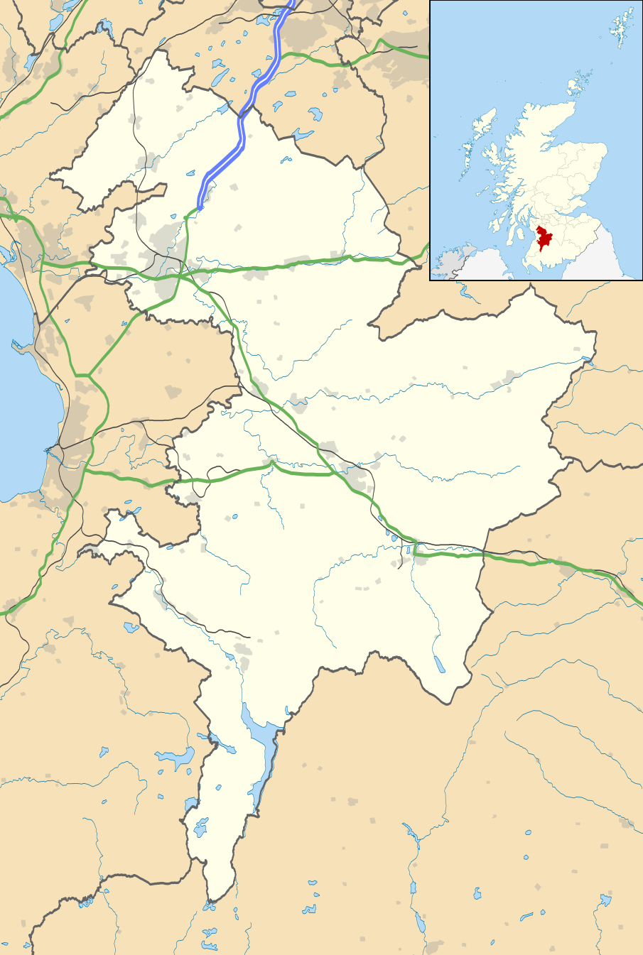
Blank map of East Ayrshire, UK with the following information shown:
Equirectangular map projection on WGS 84 datum, with N/S stretched 170% Geographic limits:
|
| ದಿನಾಂಕ | |
| ಆಕರ |
|
| ಕರ್ತೃ | Nilfanion, created using Ordnance Survey data |
| ಅನುಮತಿ (ಈ ಕಡತವನ್ನು ಮರುಬಳಕೆ ಮಾಡಲಾಗುತ್ತಿದೆ) |
ಈ ಕಡತ ಕ್ರಿಯೇಟಿವ್ ಕಾಮನ್ಸ್ Attribution
-Share Alike 3.0 Unported ಪರವಾನಗಿ ಹೊಂದಿದೆ. ವೈಶಿಷ್ಟ್ಯ: Contains Ordnance Survey data © Crown copyright and database right
|
| ಇತರೆ ಆವೃತ್ತಿಗಳು | File:East Ayrshire UK blank map.svg - Blank map |
ಕಡತದ ಇತಿಹಾಸ
ದಿನ/ಕಾಲ ಒತ್ತಿದರೆ ಆ ಸಮಯದಲ್ಲಿ ಈ ಕಡತದ ವಸ್ತುಸ್ಥಿತಿ ತೋರುತ್ತದೆ.
| ದಿನ/ಕಾಲ | ಕಿರುನೋಟ | ಆಯಾಮಗಳು | ಬಳಕೆದಾರ | ಟಿಪ್ಪಣಿ | |
|---|---|---|---|---|---|
| ಪ್ರಸಕ್ತ | ೦೨:೦೦, ೨೭ ಸೆಪ್ಟೆಂಬರ್ ೨೦೧೦ | | ೯೦೫ × ೧,೩೪೫ (೧.೩೮ MB) | Nilfanion | tweak m-way colour |
| ೦೧:೩೯, ೨೭ ಸೆಪ್ಟೆಂಬರ್ ೨೦೧೦ |  | ೯೦೫ × ೧,೩೪೫ (೧.೩೮ MB) | Nilfanion | {{Information |Description=Blank map of East Ayrshire, UK with the following information shown: *Administrative borders *Coastline, lakes and rivers *Roads and railways *Urban areas Equirectangular map projection on WGS 84 datum, with |
ಕಡತ ಬಳಕೆ
ಈ ಕೆಳಗಿನ ಪುಟವು ಈ ಚಿತ್ರಕ್ಕೆ ಸಂಪರ್ಕ ಹೊಂದಿದೆ:
ಜಾಗತಿಕ ಕಡತ ಉಪಯೋಗ
ಈ ಕಡತವನ್ನು ಕೆಳಗಿನ ಬೇರೆ ವಿಕಿಗಳೂ ಉಪಯೋಗಿಸುತ್ತಿವೆ:
- ar.wikipedia.org ಮೇಲೆ ಬಳಕೆ
- bg.wikipedia.org ಮೇಲೆ ಬಳಕೆ
- ceb.wikipedia.org ಮೇಲೆ ಬಳಕೆ
- de.wikipedia.org ಮೇಲೆ ಬಳಕೆ
- en.wikipedia.org ಮೇಲೆ ಬಳಕೆ
- East Ayrshire
- Kilmarnock
- Cumnock
- Loudoun
- Newmilns
- Rugby Park
- Galston, East Ayrshire
- Auchinleck
- Auchinleck House
- Sorn, East Ayrshire
- Drongan
- Hurlford
- Darvel
- Fenwick, East Ayrshire
- Stewarton
- Patna, East Ayrshire
- Ochiltree
- Catrine
- Mauchline
- Kilmaurs
- Dalmellington
- Moscow, East Ayrshire
- Glenbuck
- Rankinston
- New Cumnock
- Dunlop, East Ayrshire
- Lugton
- Muirkirk
- Polnessan
- Skares
- Gatehead, East Ayrshire
- New Farm Loch
- Rowallan Castle
- Dumfries House
- University Hospital Crosshouse
- Auchmillan
- Back Rogerton
- Crosshouse
- Riccarton, East Ayrshire
- Montgreenan
- Bellsbank
- Kilmarnock Infirmary
- Kirklandside Hospital
- Logan, East Ayrshire
ಈ ಫೈಲ್ನ ಹೆಚ್ಚು ಜಾಗತಿಕ ಬಳಕೆಯನ್ನು ವೀಕ್ಷಿಸಿ.