
ಚಿತ್ರ:China Tibet location map.svg

ಮೂಲ ಕಡತ (SVG ಫೈಲು, ಸುಮಾರಾಗಿ ೨,೦೧೩ × ೧,೧೩೭ ಚಿತ್ರಬಿಂದುಗಳು, ಫೈಲಿನ ಗಾತ್ರ: ೪೬೫ KB)
ಈ ಫೈಲು ವಿಕಿಮೀಡಿಯ ಕಾಮನ್ಸ್ನಲ್ಲಿ ಇರುವುದು. ಅಲ್ಲಿನ ವಿವರಣೆ ಪುಟವನ್ನೇ ಕೆಳಗೆ ತೋರಿಸಲಾಗಿದೆ. ಕಾಮನ್ಸ್ ಕೃತಿಸ್ವಾಮ್ಯತೆಯಿಂದ ಮುಕ್ತ ಫೈಲುಗಳ ಒಂದು ಆಗರ. ಅಲ್ಲಿ ನೀವೂ ಸಹಕರಿಸಬಹುದು. |
ಸಾರಾಂಶ
| ವಿವರ |
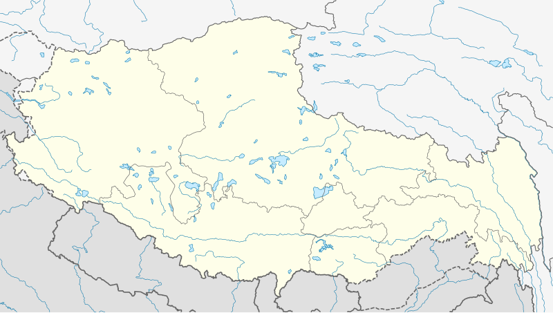
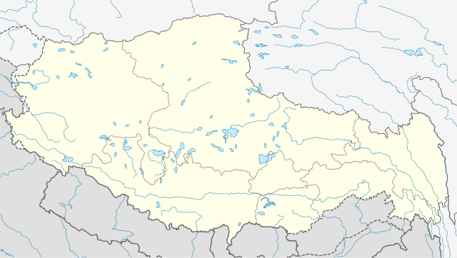
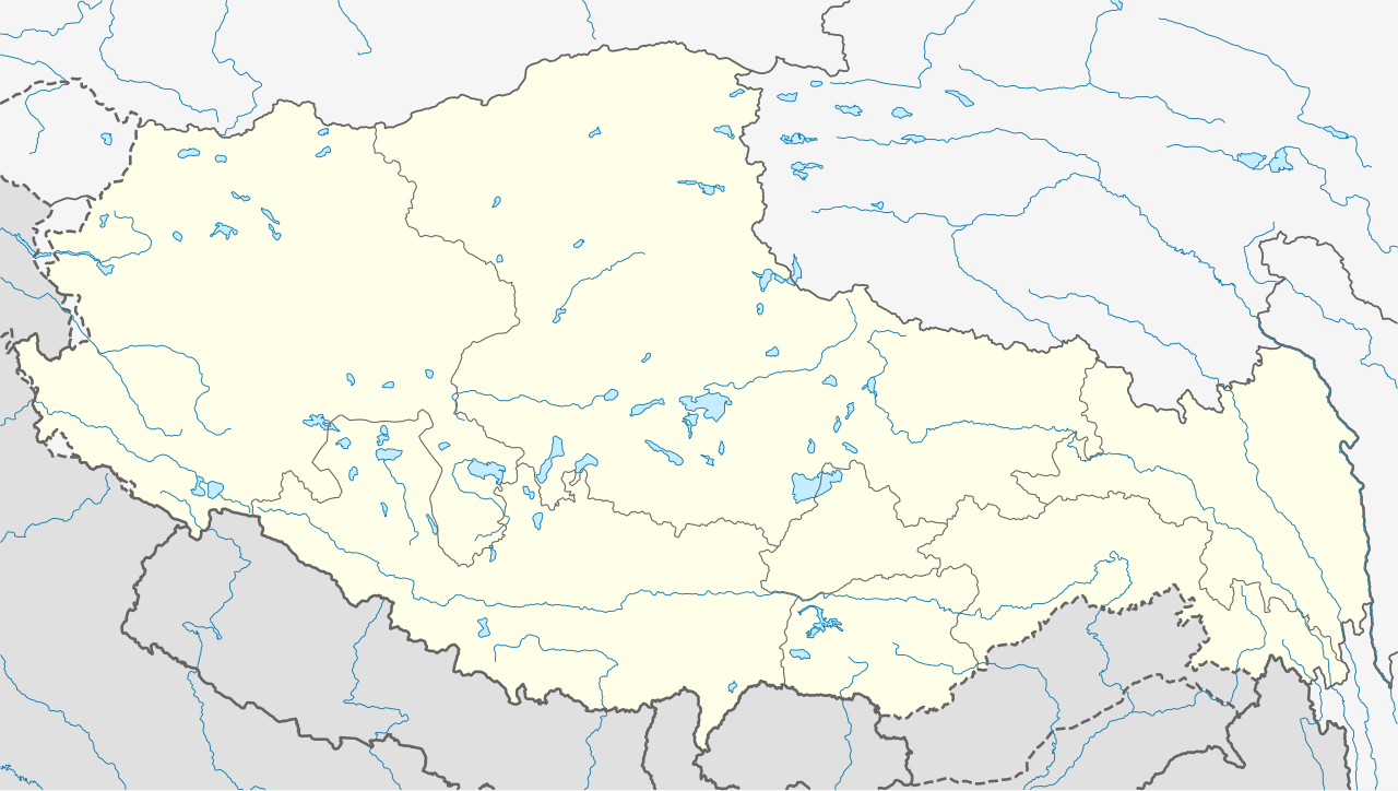
Deutsch: Positionskarte von Autonomes Gebiet Tibet, Volksrepublik China
Quadratische Plattkarte, N-S-Streckung 118 %. Geographische Begrenzung der Karte:
English: Location map of Tibet Autonomous Region, People's Republic of China
Equirectangular projection, N/S stretching 118 %. Geographic limits of the map:
|
||
| ದಿನಾಂಕ | |||
| ಆಕರ |
ಸ್ವಂತ ಕೆಲಸ, using
|
||
| ಕರ್ತೃ | NordNordWest | ||
| ಅನುಮತಿ (ಈ ಕಡತವನ್ನು ಮರುಬಳಕೆ ಮಾಡಲಾಗುತ್ತಿದೆ) |
This file is licensed under the Creative Commons Attribution-Share Alike 3.0 Germany license.
 This file is licensed under the Creative Commons Attribution-Share Alike 3.0 Germany license.
|
||
| SVG genesis | This W3C-invalid map was created with Adobe Illustrator.
|


ಕಡತದ ಇತಿಹಾಸ
ದಿನ/ಕಾಲ ಒತ್ತಿದರೆ ಆ ಸಮಯದಲ್ಲಿ ಈ ಕಡತದ ವಸ್ತುಸ್ಥಿತಿ ತೋರುತ್ತದೆ.
| ದಿನ/ಕಾಲ | ಕಿರುನೋಟ | ಆಯಾಮಗಳು | ಬಳಕೆದಾರ | ಟಿಪ್ಪಣಿ | |
|---|---|---|---|---|---|
| ಪ್ರಸಕ್ತ | ೧೩:೫೪, ೨೨ ಮೇ ೨೦೨೦ | | ೨,೦೧೩ × ೧,೧೩೭ (೪೬೫ KB) | NordNordWest | Reverted to version as of 10:41, 29 January 2019 (UTC); AGAIN: only vector data in this svg please |
| ೦೩:೦೮, ೨೨ ಮೇ ೨೦೨೦ |  | ೨,೦೧೩ × ೧,೧೩೭ (೫೯೫ KB) | Geographyinitiative | Reverted to version as of 06:29, 29 January 2019 (UTC) part of Aksai Chin is under TAR jurisdiction | |
| ೧೬:೧೧, ೨೯ ಜನವರಿ ೨೦೧೯ |  | ೨,೦೧೩ × ೧,೧೩೭ (೪೬೫ KB) | NordNordWest | Reverted to version as of 12:39, 8 May 2013 (UTC); only vector data in this svg please | |
| ೧೧:೫೯, ೨೯ ಜನವರಿ ೨೦೧೯ |  | ೨,೦೧೩ × ೧,೧೩೭ (೫೯೫ KB) | 复旦大学张超 | edit | |
| ೧೮:೦೯, ೮ ಮೇ ೨೦೧೩ |  | ೨,೦೧೩ × ೧,೧೩೭ (೪೬೫ KB) | NordNordWest | upd | |
| ೧೮:೦೮, ೮ ಮೇ ೨೦೧೩ |  | ೨,೦೧೩ × ೧,೧೩೭ (೪೬೫ KB) | NordNordWest | upd | |
| ೧೮:೫೮, ೨೩ ಫೆಬ್ರವರಿ ೨೦೧೦ |  | ೨,೦೧೩ × ೧,೧೩೭ (೬೩೯ KB) | NordNordWest | upd | |
| ೦೨:೧೧, ೧೧ ಡಿಸೆಂಬರ್ ೨೦೦೯ |  | ೨,೦೧೩ × ೧,೧೩೮ (೬೩೨ KB) | NordNordWest | =={{int:filedesc}}== {{Information |Description= {{de|Positionskarte von Autonomes Gebiet Tibet, Volksrepublik China}} Quadratische Plattkarte, N-S-Streckung 118 %. Geographische Begrenzung der Ka |
ಕಡತ ಬಳಕೆ
ಈ ಕೆಳಗಿನ ಪುಟವು ಈ ಚಿತ್ರಕ್ಕೆ ಸಂಪರ್ಕ ಹೊಂದಿದೆ:
ಜಾಗತಿಕ ಕಡತ ಉಪಯೋಗ
ಈ ಕಡತವನ್ನು ಕೆಳಗಿನ ಬೇರೆ ವಿಕಿಗಳೂ ಉಪಯೋಗಿಸುತ್ತಿವೆ:
- ar.wikipedia.org ಮೇಲೆ ಬಳಕೆ
- ba.wikipedia.org ಮೇಲೆ ಬಳಕೆ
- be.wikipedia.org ಮೇಲೆ ಬಳಕೆ
- bg.wikipedia.org ಮೇಲೆ ಬಳಕೆ
- bn.wikipedia.org ಮೇಲೆ ಬಳಕೆ
- লোৎসে
- কৈলাস পর্বত
- ব্সাম-য়াস বৌদ্ধবিহার
- টেমপ্লেট:অবস্থান মানচিত্র চীন তিব্বত
- খ্রা-ব্রুগ বৌদ্ধবিহার
- টেমপ্লেট:অবস্থান মানচিত্র China Tibet
- র্দো-র্জে-ব্রাগ বৌদ্ধবিহার
- দ্গা'-ল্দান বৌদ্ধবিহার
- 'ব্রাস-স্পুংস বৌদ্ধবিহার
- সাঙ্গা বৌদ্ধবিহার
- মডিউল:অবস্থান মানচিত্র/উপাত্ত/চীন তিব্বত
- মডিউল:অবস্থান মানচিত্র/উপাত্ত/চীন তিব্বত/নথি
- লিপুলেখ গিরিপথ
- পুমোরি
- ca.wikipedia.org ಮೇಲೆ ಬಳಕೆ
- cdo.wikipedia.org ಮೇಲೆ ಬಳಕೆ
- ceb.wikipedia.org ಮೇಲೆ ಬಳಕೆ
- cs.wikipedia.org ಮೇಲೆ ಬಳಕೆ
- cv.wikipedia.org ಮೇಲೆ ಬಳಕೆ
- en.wikipedia.org ಮೇಲೆ ಬಳಕೆ
ಈ ಫೈಲ್ನ ಹೆಚ್ಚು ಜಾಗತಿಕ ಬಳಕೆಯನ್ನು ವೀಕ್ಷಿಸಿ.