
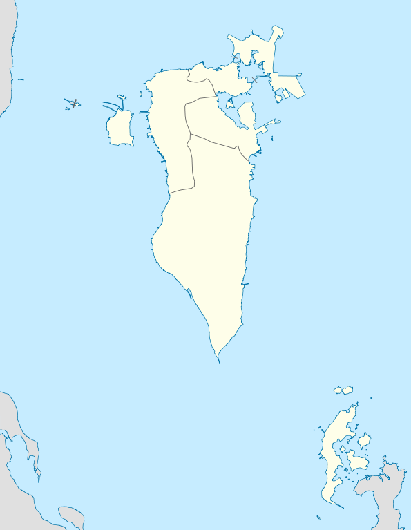
ಚಿತ್ರ:Bahrain location map.svg

Size of this PNG preview of this SVG file: ೪೬೫ × ೬೦೦ ಪಿಕ್ಸೆಲ್ಗಳು. ಇತರ ರೆಸಲ್ಯೂಶನ್ಗಳು: ೧೮೬ × ೨೪೦ ಪಿಕ್ಸೆಲ್ಗಳು | ೩೭೨ × ೪೮೦ ಪಿಕ್ಸೆಲ್ಗಳು | ೫೯೫ × ೭೬೮ ಪಿಕ್ಸೆಲ್ಗಳು | ೭೯೪ × ೧,೦೨೪ ಪಿಕ್ಸೆಲ್ಗಳು | ೧,೫೮೮ × ೨,೦೪೮ ಪಿಕ್ಸೆಲ್ಗಳು | ೧,೨೪೬ × ೧,೬೦೭ ಪಿಕ್ಸೆಲ್ಗಳು.
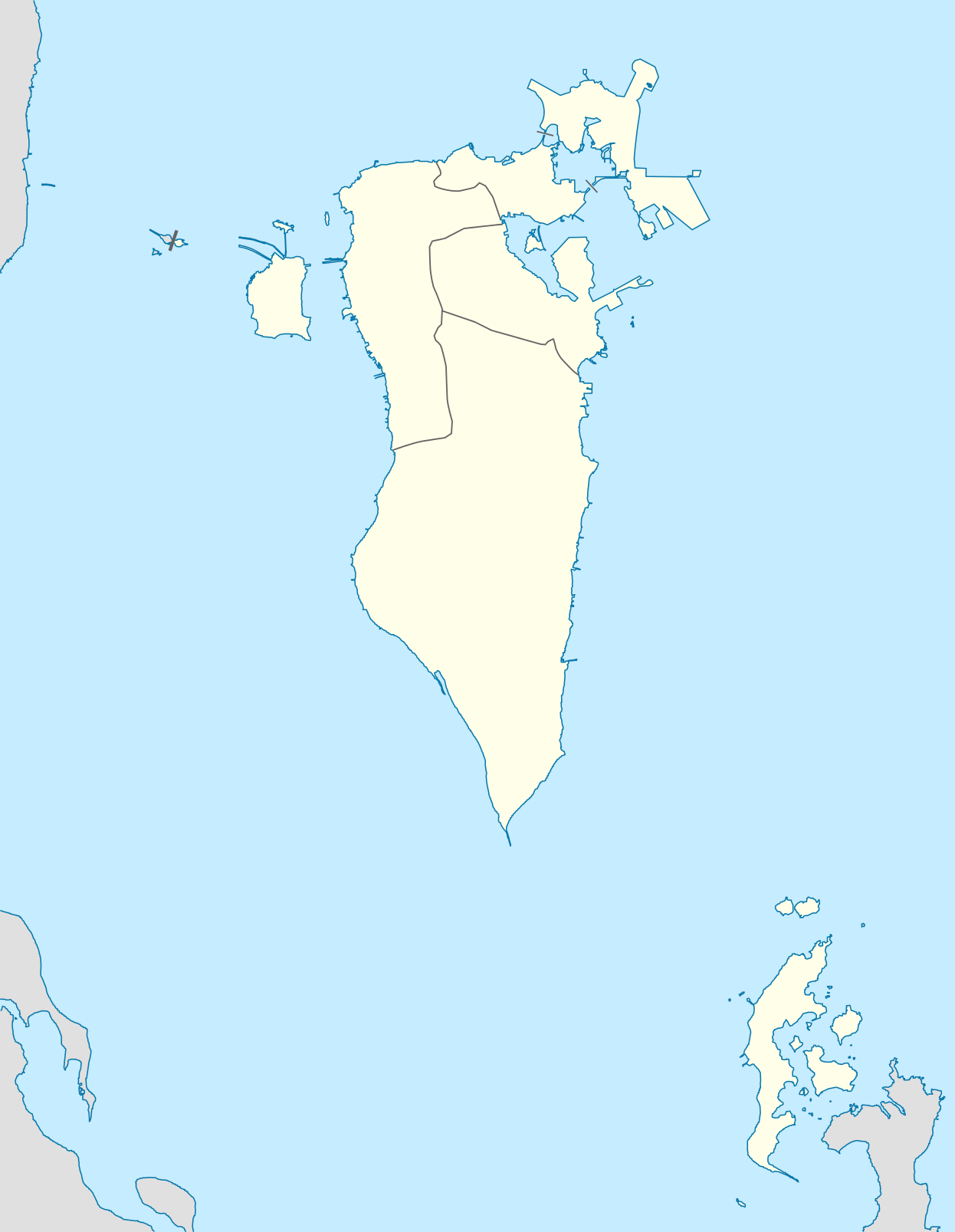
ಮೂಲ ಕಡತ (SVG ಫೈಲು, ಸುಮಾರಾಗಿ ೧,೨೪೬ × ೧,೬೦೭ ಚಿತ್ರಬಿಂದುಗಳು, ಫೈಲಿನ ಗಾತ್ರ: ೧೩೬ KB)
ಈ ಫೈಲು ವಿಕಿಮೀಡಿಯ ಕಾಮನ್ಸ್ನಲ್ಲಿ ಇರುವುದು. ಅಲ್ಲಿನ ವಿವರಣೆ ಪುಟವನ್ನೇ ಕೆಳಗೆ ತೋರಿಸಲಾಗಿದೆ. ಕಾಮನ್ಸ್ ಕೃತಿಸ್ವಾಮ್ಯತೆಯಿಂದ ಮುಕ್ತ ಫೈಲುಗಳ ಒಂದು ಆಗರ. ಅಲ್ಲಿ ನೀವೂ ಸಹಕರಿಸಬಹುದು. |
ಸಾರಾಂಶ
| ವಿವರ |
Deutsch: Positionskarte von Bahrain
Geographische Begrenzung der Karte:
English: Location map of Bahrain
Geographic limits of the map:
|
||||||||||||
| ದಿನಾಂಕ | |||||||||||||
| ಆಕರ | ಸ್ವಂತ ಕೆಲಸ | ||||||||||||
| ಕರ್ತೃ | NordNordWest | ||||||||||||
| ಅನುಮತಿ (ಈ ಕಡತವನ್ನು ಮರುಬಳಕೆ ಮಾಡಲಾಗುತ್ತಿದೆ) |
|

|
This map has been made or improved in the German Kartenwerkstatt (Map Lab). You can propose maps to improve as well.
|
ಕಡತದ ಇತಿಹಾಸ
ದಿನ/ಕಾಲ ಒತ್ತಿದರೆ ಆ ಸಮಯದಲ್ಲಿ ಈ ಕಡತದ ವಸ್ತುಸ್ಥಿತಿ ತೋರುತ್ತದೆ.
| ದಿನ/ಕಾಲ | ಕಿರುನೋಟ | ಆಯಾಮಗಳು | ಬಳಕೆದಾರ | ಟಿಪ್ಪಣಿ | |
|---|---|---|---|---|---|
| ಪ್ರಸಕ್ತ | ೨೧:೦೪, ೯ ಮಾರ್ಚ್ ೨೦೧೦ | | ೧,೨೪೬ × ೧,೬೦೭ (೧೩೬ KB) | NordNordWest | upd |
| ೨೩:೦೪, ೧೯ ಡಿಸೆಂಬರ್ ೨೦೦೯ |  | ೧,೨೪೬ × ೧,೬೦೭ (೧೬೧ KB) | NordNordWest | == {{int:filedesc}} == {{Information |Description= {{de|Positionskarte von Bahrain}} Geographische Begrenzung der Karte: * N: 26.34° N * S: 25.54° N * W: 50.2° O * O: 50.89° O {{en|Location map of Bahrain}} Geographic l |
ಕಡತ ಬಳಕೆ
ಈ ಕೆಳಗಿನ ಪುಟವು ಈ ಚಿತ್ರಕ್ಕೆ ಸಂಪರ್ಕ ಹೊಂದಿದೆ:
ಜಾಗತಿಕ ಕಡತ ಉಪಯೋಗ
ಈ ಕಡತವನ್ನು ಕೆಳಗಿನ ಬೇರೆ ವಿಕಿಗಳೂ ಉಪಯೋಗಿಸುತ್ತಿವೆ:
- af.wikipedia.org ಮೇಲೆ ಬಳಕೆ
- als.wikipedia.org ಮೇಲೆ ಬಳಕೆ
- ba.wikipedia.org ಮೇಲೆ ಬಳಕೆ
- be-tarask.wikipedia.org ಮೇಲೆ ಬಳಕೆ
- be.wikipedia.org ಮೇಲೆ ಬಳಕೆ
- bg.wikipedia.org ಮೇಲೆ ಬಳಕೆ
- bn.wikipedia.org ಮೇಲೆ ಬಳಕೆ
- bs.wikipedia.org ಮೇಲೆ ಬಳಕೆ
- ceb.wikipedia.org ಮೇಲೆ ಬಳಕೆ
- Plantilya:Location map Bahrain
- Ra’s Khuşayfah
- Salá
- Capital
- Inner Anchorage
- Dawḩat Salwá
- West Spit
- Umm ash Shanin
- Little Sand Island
- Sitrah
- Jazīrat ash Shaykh
- Saya
- Ra’s al ‘Ayn
- Ain (pagklaro)
- Ra’s al Qal‘ah
- An Nabī Şāliḩ
- ‘Arad
- Al Muḩarraq
- Isa
- Liya
- Khusaifa
- ‘Ayn al Khaḑrā’
- Ra’s al Jazā’ir
- Ra’s al Jasrah
- Jiddah
- Ra’s al Yaman
- Jadam
- Jazīrat Ḩawār
- Hawar Island
- Howar
- Harta
- Jabal ad Dukhkhān
- Fasht ad Dībal
- Ra’s ad Dayr
- Ra’s al Barr
- Tyros
- Al Baḩrayn
- Bahrain
ಈ ಫೈಲ್ನ ಹೆಚ್ಚು ಜಾಗತಿಕ ಬಳಕೆಯನ್ನು ವೀಕ್ಷಿಸಿ.