
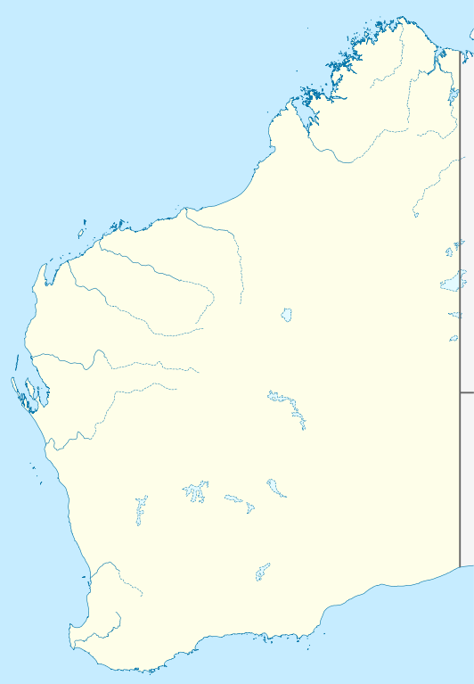
ಚಿತ್ರ:Australia Western Australia location map blank.svg

ಮೂಲ ಕಡತ (SVG ಫೈಲು, ಸುಮಾರಾಗಿ ೧,೨೦೫ × ೧,೭೩೮ ಚಿತ್ರಬಿಂದುಗಳು, ಫೈಲಿನ ಗಾತ್ರ: ೭೪೬ KB)
ಈ ಫೈಲು ವಿಕಿಮೀಡಿಯ ಕಾಮನ್ಸ್ನಲ್ಲಿ ಇರುವುದು. ಅಲ್ಲಿನ ವಿವರಣೆ ಪುಟವನ್ನೇ ಕೆಳಗೆ ತೋರಿಸಲಾಗಿದೆ. ಕಾಮನ್ಸ್ ಕೃತಿಸ್ವಾಮ್ಯತೆಯಿಂದ ಮುಕ್ತ ಫೈಲುಗಳ ಒಂದು ಆಗರ. ಅಲ್ಲಿ ನೀವೂ ಸಹಕರಿಸಬಹುದು. |
| ವಿವರ |
Quadratische Plattkarte, N-S-Streckung 110 %. Geographische Begrenzung der Karte:
Equirectangular projection, N/S stretching 110 %. Geographic limits of the map:
|
|
| ದಿನಾಂಕ | (UTC) | |
| ಆಕರ |
|
|
| ಕರ್ತೃ |
|
|
| ಅನುಮತಿ (ಈ ಕಡತವನ್ನು ಮರುಬಳಕೆ ಮಾಡಲಾಗುತ್ತಿದೆ) |
This file is licensed under the Creative Commons Attribution-Share Alike 3.0 Germany license.
 |


|
This map has been made or improved in the German Kartenwerkstatt (Map Lab). You can propose maps to improve as well.
|
- ನೀವು ಮುಕ್ತ:
- ಹಂಚಿಕೆಗೆ – ಕೆಲಸವನ್ನು ನಕಲು ಮಾಡಲು, ವಿತರಣೆ ಮತ್ತು ಸಾಗಿಸಲು
- ರೀಮಿಕ್ಸ್ ಮಾಡಲು – ಕೆಲಸವನ್ನು ಬಳಸಿಕೊಳ್ಳಲು
- ಈ ಕೆಳಗಿನ ಷರತ್ತುಗಳಲ್ಲಿ:
- ವೈಶಿಷ್ಟ್ಯ – ನೀವು ಸೂಕ್ತವಾದ ಕ್ರೆಡಿಟ್ ನೀಡಬೇಕು, ಪರವಾನಗಿಗೆ ಲಿಂಕ್ ಅನ್ನು ಒದಗಿಸಬೇಕು ಮತ್ತು ಯಾವುದೇ ಬದಲಾವಣೆಗಳನ್ನು ಮಾಡಿದ್ದರೆ ಸೂಚಿಸಬೇಕು. ನೀವು ಯಾವುದೇ ಸಮಂಜಸವಾದ ರೀತಿಯಲ್ಲಿ ಮಾಡಬಹುದು, ಆದರೆ ಪರವಾನಗಿದಾರರು ನಿಮ್ಮನ್ನು ಅಥವಾ ನಿಮ್ಮ ಯಾವುದೇ ಬಳಕೆಯನ್ನು ಅನುಮೋದಿಸಿದಂತೆ ರೀತಿಯಲ್ಲಿ ಉಪಯೋಗಿಸಬಾರದು.
- ಇರುವುದರಂತೆಯೇ ಹಂಚು – ನೀವು ರೀಮಿಕ್ಸ್ ಮಾಡಿದರೆ, ರೂಪಾಂತರಗೊಳಿಸಿದರೆ ಅಥವಾ ವಸ್ತುವಿನ ಮೇಲೆ ನಿರ್ಮಿಸಿದರೆ, ನಿಮ್ಮ ಕೊಡುಗೆಗಳನ್ನು ನೀವು ಮೂಲದಂತೆ ಅದೇ ಅಥವಾ ಹೊಂದಾಣಿಕೆಯ ಪರವಾನಗಿ ಅಡಿಯಲ್ಲಿ ವಿತರಿಸಬೇಕು.
Original upload log
This image is a derivative work of the following images:
- File:Australia_Western_Australia_location_map.svg licensed with Cc-by-sa-3.0
- 2010-04-04T22:09:38Z Chumwa 1205x1738 (857076 Bytes) Reverted to version as of 21:21, 23 January 2010
- 2010-04-04T21:44:58Z Roke 1205x1738 (763706 Bytes) local government low salience, dont appear on general use maps
- 2010-01-23T21:21:43Z NordNordWest 1205x1738 (857076 Bytes) =={{int:filedesc}}== {{Information |Description= {{de|Positionskarte von [[:de:Western Australia|Western Australia]], [[:de:Australien|Australien]]}} Quadratische Plattkarte, N-S-Streckung 110 %. Geographische Begrenzung der
Uploaded with derivativeFX
ಕಡತದ ಇತಿಹಾಸ
ದಿನ/ಕಾಲ ಒತ್ತಿದರೆ ಆ ಸಮಯದಲ್ಲಿ ಈ ಕಡತದ ವಸ್ತುಸ್ಥಿತಿ ತೋರುತ್ತದೆ.
| ದಿನ/ಕಾಲ | ಕಿರುನೋಟ | ಆಯಾಮಗಳು | ಬಳಕೆದಾರ | ಟಿಪ್ಪಣಿ | |
|---|---|---|---|---|---|
| ಪ್ರಸಕ್ತ | ೦೫:೫೯, ೧೦ ಏಪ್ರಿಲ್ ೨೦೧೦ | | ೧,೨೦೫ × ೧,೭೩೮ (೭೪೬ KB) | Roke~commonswiki | {{Information |Description={{de|Positionskarte von Western Australia, Australien}} Quadratische Plattkarte, N-S-Streckung 110 %. Geographische Begrenzung der Karte: * N: 13.2° S * S: 35.5° S * W: 112.5° O * |
ಕಡತ ಬಳಕೆ
ಈ ಕೆಳಗಿನ ಪುಟವು ಈ ಚಿತ್ರಕ್ಕೆ ಸಂಪರ್ಕ ಹೊಂದಿದೆ:
ಜಾಗತಿಕ ಕಡತ ಉಪಯೋಗ
ಈ ಕಡತವನ್ನು ಕೆಳಗಿನ ಬೇರೆ ವಿಕಿಗಳೂ ಉಪಯೋಗಿಸುತ್ತಿವೆ:
- ar.wikipedia.org ಮೇಲೆ ಬಳಕೆ
- ast.wikipedia.org ಮೇಲೆ ಬಳಕೆ
- ceb.wikipedia.org ಮೇಲೆ ಬಳಕೆ
- ckb.wikipedia.org ಮೇಲೆ ಬಳಕೆ
- da.wikipedia.org ಮೇಲೆ ಬಳಕೆ
- de.wikipedia.org ಮೇಲೆ ಬಳಕೆ
- en.wikipedia.org ಮೇಲೆ ಬಳಕೆ
- fa.wikipedia.org ಮೇಲೆ ಬಳಕೆ
- gl.wikipedia.org ಮೇಲೆ ಬಳಕೆ
- ja.wikipedia.org ಮೇಲೆ ಬಳಕೆ
- ka.wikipedia.org ಮೇಲೆ ಬಳಕೆ
- ko.wikipedia.org ಮೇಲೆ ಬಳಕೆ
- mk.wikipedia.org ಮೇಲೆ ಬಳಕೆ
- ml.wikipedia.org ಮೇಲೆ ಬಳಕೆ
- no.wikipedia.org ಮೇಲೆ ಬಳಕೆ
- pl.wikipedia.org ಮೇಲೆ ಬಳಕೆ
- pl.wikibooks.org ಮೇಲೆ ಬಳಕೆ
- pt.wikipedia.org ಮೇಲೆ ಬಳಕೆ
- ro.wikipedia.org ಮೇಲೆ ಬಳಕೆ
- sco.wikipedia.org ಮೇಲೆ ಬಳಕೆ
- shn.wikipedia.org ಮೇಲೆ ಬಳಕೆ
- simple.wikipedia.org ಮೇಲೆ ಬಳಕೆ
- si.wikipedia.org ಮೇಲೆ ಬಳಕೆ
- sl.wikipedia.org ಮೇಲೆ ಬಳಕೆ
- tr.wikipedia.org ಮೇಲೆ ಬಳಕೆ
- uk.wikipedia.org ಮೇಲೆ ಬಳಕೆ
- ur.wikipedia.org ಮೇಲೆ ಬಳಕೆ
ಈ ಫೈಲ್ನ ಹೆಚ್ಚು ಜಾಗತಿಕ ಬಳಕೆಯನ್ನು ವೀಕ್ಷಿಸಿ.