
ಚಿತ್ರ:Angola location map.svg

Size of this PNG preview of this SVG file: ೫೪೭ × ೬೦೦ ಪಿಕ್ಸೆಲ್ಗಳು. ಇತರ ರೆಸಲ್ಯೂಶನ್ಗಳು: ೨೧೯ × ೨೪೦ ಪಿಕ್ಸೆಲ್ಗಳು | ೪೩೮ × ೪೮೦ ಪಿಕ್ಸೆಲ್ಗಳು | ೭೦೦ × ೭೬೮ ಪಿಕ್ಸೆಲ್ಗಳು | ೯೩೪ × ೧,೦೨೪ ಪಿಕ್ಸೆಲ್ಗಳು | ೧,೮೬೮ × ೨,೦೪೮ ಪಿಕ್ಸೆಲ್ಗಳು | ೧,೨೬೬ × ೧,೩೮೮ ಪಿಕ್ಸೆಲ್ಗಳು.
ಮೂಲ ಕಡತ (SVG ಫೈಲು, ಸುಮಾರಾಗಿ ೧,೨೬೬ × ೧,೩೮೮ ಚಿತ್ರಬಿಂದುಗಳು, ಫೈಲಿನ ಗಾತ್ರ: ೪೭೮ KB)
ಈ ಫೈಲು ವಿಕಿಮೀಡಿಯ ಕಾಮನ್ಸ್ನಲ್ಲಿ ಇರುವುದು. ಅಲ್ಲಿನ ವಿವರಣೆ ಪುಟವನ್ನೇ ಕೆಳಗೆ ತೋರಿಸಲಾಗಿದೆ. ಕಾಮನ್ಸ್ ಕೃತಿಸ್ವಾಮ್ಯತೆಯಿಂದ ಮುಕ್ತ ಫೈಲುಗಳ ಒಂದು ಆಗರ. ಅಲ್ಲಿ ನೀವೂ ಸಹಕರಿಸಬಹುದು. |
ಸಾರಾಂಶ
| ವಿವರ |
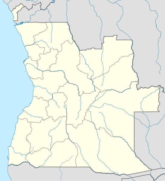
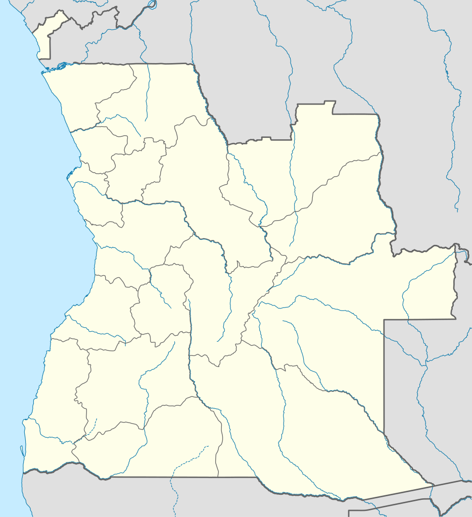
Deutsch: Positionskarte von Angola
Quadratische Plattkarte, N-S-Streckung 102 %. Geographische Begrenzung der Karte:
English: Location map of Angola
Equirectangular projection, N/S stretching 102 %. Geographic limits of the map:
|
||
| ದಿನಾಂಕ | |||
| ಆಕರ |
ಸ್ವಂತ ಕೆಲಸ, using
|
||
| ಕರ್ತೃ | NordNordWest | ||
| ಅನುಮತಿ (ಈ ಕಡತವನ್ನು ಮರುಬಳಕೆ ಮಾಡಲಾಗುತ್ತಿದೆ) |
I, the copyright holder of this work, hereby publish it under the following license: ಈ ಕಡತ ಕ್ರಿಯೇಟಿವ್ ಕಾಮನ್ಸ್ Attribution
-Share Alike 3.0 Unported ಪರವಾನಗಿ ಹೊಂದಿದೆ.
|
||
| SVG genesis | This map was created with unknown tool.
|

ಕಡತದ ಇತಿಹಾಸ
ದಿನ/ಕಾಲ ಒತ್ತಿದರೆ ಆ ಸಮಯದಲ್ಲಿ ಈ ಕಡತದ ವಸ್ತುಸ್ಥಿತಿ ತೋರುತ್ತದೆ.
| ದಿನ/ಕಾಲ | ಕಿರುನೋಟ | ಆಯಾಮಗಳು | ಬಳಕೆದಾರ | ಟಿಪ್ಪಣಿ | |
|---|---|---|---|---|---|
| ಪ್ರಸಕ್ತ | ೨೩:೪೫, ೨೧ ಆಗಸ್ಟ್ ೨೦೧೯ | | ೧,೨೬೬ × ೧,೩೮೮ (೪೭೮ KB) | Hallel | Inclusão de novo mapa com as alterações territoriais das províncias do Bengo e Luanda |
| ೨೩:೦೫, ೨೦ ಅಕ್ಟೋಬರ್ ೨೦೦೯ |  | ೧,೨೬೬ × ೧,೩೮೮ (೪೭೮ KB) | NordNordWest | =={{int:filedesc}}== {{Information |Description= {{de|Positionskarte von Angola}} Quadratische Plattkarte, N-S-Streckung 102 %. Geographische Begrenzung der Karte: * N: 4.1° S * S: 18.5° S * W: 11.1° O * O: 24.5° O {{en|Location map of |
ಕಡತ ಬಳಕೆ
ಈ ಕೆಳಗಿನ ಪುಟವು ಈ ಚಿತ್ರಕ್ಕೆ ಸಂಪರ್ಕ ಹೊಂದಿದೆ:
ಜಾಗತಿಕ ಕಡತ ಉಪಯೋಗ
ಈ ಕಡತವನ್ನು ಕೆಳಗಿನ ಬೇರೆ ವಿಕಿಗಳೂ ಉಪಯೋಗಿಸುತ್ತಿವೆ:
- af.wikipedia.org ಮೇಲೆ ಬಳಕೆ
- am.wikipedia.org ಮೇಲೆ ಬಳಕೆ
- an.wikipedia.org ಮೇಲೆ ಬಳಕೆ
- ar.wikipedia.org ಮೇಲೆ ಬಳಕೆ
- ast.wikipedia.org ಮೇಲೆ ಬಳಕೆ
- Luanda
- Ríu Congu
- Bolongongo
- Bembe
- Londuimbale
- Songo (Angola)
- Camanongue
- N'Zeto
- Lucala
- Lubalo
- África Central
- Comité Paralímpicu Angolanu
- Lubango
- Área de caltenimientu Kavango-Zambeze
- Ríu Zambeze
- Morro do Moco
- Benguela
- Módulu:Mapa de llocalización/datos/Angola
- Módulu:Mapa de llocalización/datos/Angola/usu
- Aeropuertu Internacional Quatro de Fevereiro
- Aeropuertu de Benguela
- Aeropuertu de Cabinda
ಈ ಫೈಲ್ನ ಹೆಚ್ಚು ಜಾಗತಿಕ ಬಳಕೆಯನ್ನು ವೀಕ್ಷಿಸಿ.