
ಚಿತ್ರ:Basque Country location map.svg

Size of this PNG preview of this SVG file: ೫೧೨ × ೪೦೧ ಪಿಕ್ಸೆಲ್ಗಳು. ಇತರ ರೆಸಲ್ಯೂಶನ್ಗಳು: ೩೦೭ × ೨೪೦ ಪಿಕ್ಸೆಲ್ಗಳು | ೬೧೩ × ೪೮೦ ಪಿಕ್ಸೆಲ್ಗಳು | ೯೮೧ × ೭೬೮ ಪಿಕ್ಸೆಲ್ಗಳು | ೧,೨೮೦ × ೧,೦೦೩ ಪಿಕ್ಸೆಲ್ಗಳು | ೨,೫೬೦ × ೨,೦೦೫ ಪಿಕ್ಸೆಲ್ಗಳು.
ಮೂಲ ಕಡತ (SVG ಫೈಲು, ಸುಮಾರಾಗಿ ೫೧೨ × ೪೦೧ ಚಿತ್ರಬಿಂದುಗಳು, ಫೈಲಿನ ಗಾತ್ರ: ೨೭೯ KB)
ಈ ಫೈಲು ವಿಕಿಮೀಡಿಯ ಕಾಮನ್ಸ್ನಲ್ಲಿ ಇರುವುದು. ಅಲ್ಲಿನ ವಿವರಣೆ ಪುಟವನ್ನೇ ಕೆಳಗೆ ತೋರಿಸಲಾಗಿದೆ. ಕಾಮನ್ಸ್ ಕೃತಿಸ್ವಾಮ್ಯತೆಯಿಂದ ಮುಕ್ತ ಫೈಲುಗಳ ಒಂದು ಆಗರ. ಅಲ್ಲಿ ನೀವೂ ಸಹಕರಿಸಬಹುದು. |
| ವಿವರ |
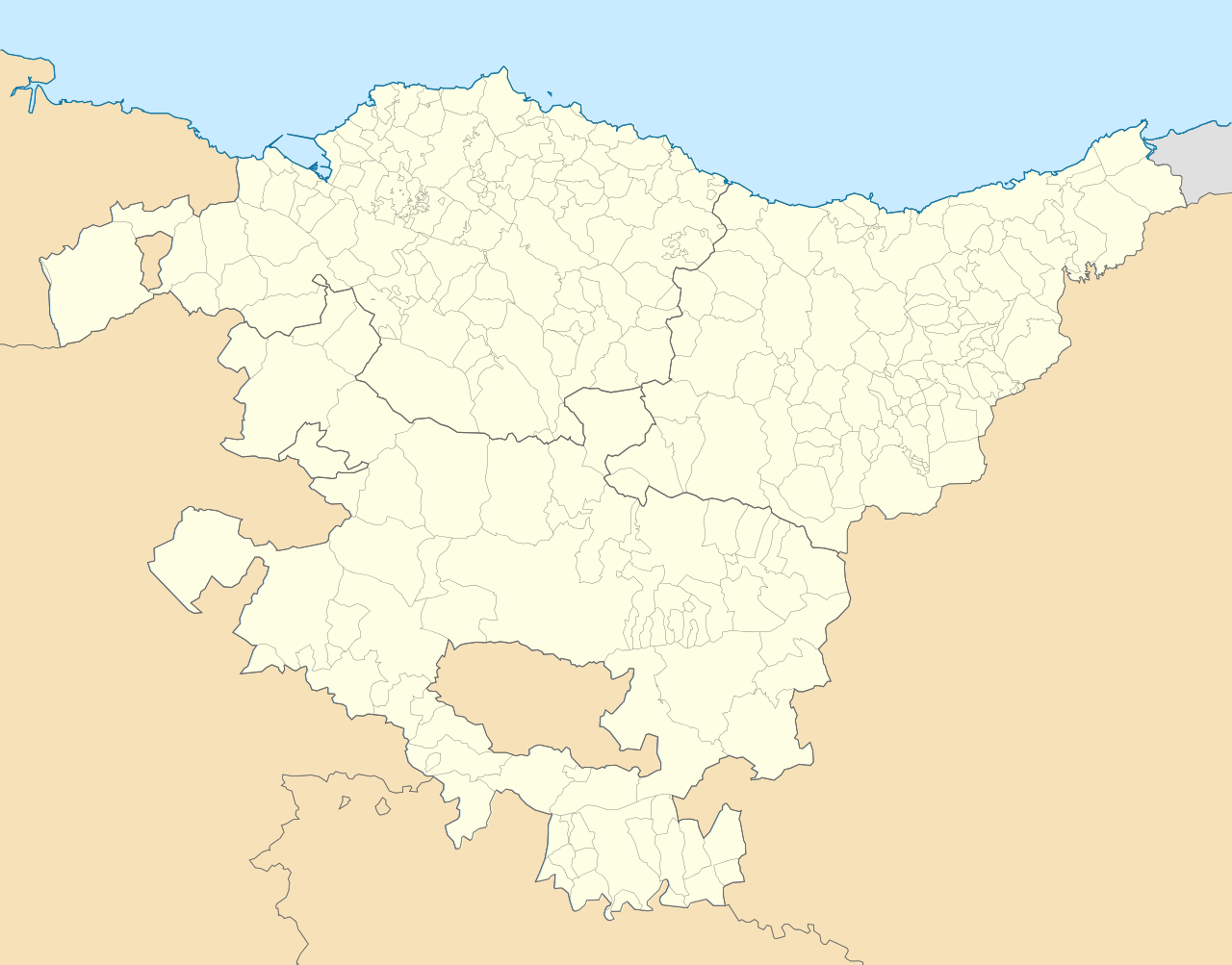
English: Location map of Pays Basque (Spain) Equirectangular projection, N/S stretching 130 %. Geographic limits of the map: * N: 43.533029° N * S: 42.421667° N * W: 3.509299° W * E: 1.660014° W Español: Mapa de localización de la comunidad autónoma del País Vasco (España) Proyección equirrectangular, N/S estirada 130 %. Límites geográficos del mapa: * N: 43.533029° N * S: 42.421667° N * O: 3.509299° O * E: 1.660014° O |
| ದಿನಾಂಕ | (UTC) |
| ಆಕರ | |
| ಕರ್ತೃ |
|
| This is a retouched picture, which means that it has been digitally altered from its original version. Modifications: harmonisation couleur+nettoyage. The original can be viewed here: País Vasco-loc.svg:
|
I, the copyright holder of this work, hereby publish it under the following license:
ಈ ಕಡತ ಕ್ರಿಯೇಟಿವ್ ಕಾಮನ್ಸ್ Attribution
-Share Alike 3.0 Unported ಪರವಾನಗಿ ಹೊಂದಿದೆ.
- ನೀವು ಮುಕ್ತ:
- ಹಂಚಿಕೆಗೆ – ಕೆಲಸವನ್ನು ನಕಲು ಮಾಡಲು, ವಿತರಣೆ ಮತ್ತು ಸಾಗಿಸಲು
- ರೀಮಿಕ್ಸ್ ಮಾಡಲು – ಕೆಲಸವನ್ನು ಬಳಸಿಕೊಳ್ಳಲು
- ಈ ಕೆಳಗಿನ ಷರತ್ತುಗಳಲ್ಲಿ:
- ವೈಶಿಷ್ಟ್ಯ – ನೀವು ಸೂಕ್ತವಾದ ಕ್ರೆಡಿಟ್ ನೀಡಬೇಕು, ಪರವಾನಗಿಗೆ ಲಿಂಕ್ ಅನ್ನು ಒದಗಿಸಬೇಕು ಮತ್ತು ಯಾವುದೇ ಬದಲಾವಣೆಗಳನ್ನು ಮಾಡಿದ್ದರೆ ಸೂಚಿಸಬೇಕು. ನೀವು ಯಾವುದೇ ಸಮಂಜಸವಾದ ರೀತಿಯಲ್ಲಿ ಮಾಡಬಹುದು, ಆದರೆ ಪರವಾನಗಿದಾರರು ನಿಮ್ಮನ್ನು ಅಥವಾ ನಿಮ್ಮ ಯಾವುದೇ ಬಳಕೆಯನ್ನು ಅನುಮೋದಿಸಿದಂತೆ ರೀತಿಯಲ್ಲಿ ಉಪಯೋಗಿಸಬಾರದು.
- ಇರುವುದರಂತೆಯೇ ಹಂಚು – ನೀವು ರೀಮಿಕ್ಸ್ ಮಾಡಿದರೆ, ರೂಪಾಂತರಗೊಳಿಸಿದರೆ ಅಥವಾ ವಸ್ತುವಿನ ಮೇಲೆ ನಿರ್ಮಿಸಿದರೆ, ನಿಮ್ಮ ಕೊಡುಗೆಗಳನ್ನು ನೀವು ಮೂಲದಂತೆ ಅದೇ ಅಥವಾ ಹೊಂದಾಣಿಕೆಯ ಪರವಾನಗಿ ಅಡಿಯಲ್ಲಿ ವಿತರಿಸಬೇಕು.
Original upload log
This image is a derivative work of the following images:
- File:País_Vasco-loc.svg licensed with Cc-by-sa-3.0
- 2010-05-14T23:00:52Z Miguillen 512x401 (323163 Bytes) == {{int:filedesc}} == {{Information |Description= {{en|Location map of [[:en:Pays Basque|Pays Basque]]}} Equirectangular projection, N/S stretching 130 %. Geographic limits of the map: * N: 43.5625° N * S: 42.375° N *
Uploaded with derivativeFX
ಕಡತದ ಇತಿಹಾಸ
ದಿನ/ಕಾಲ ಒತ್ತಿದರೆ ಆ ಸಮಯದಲ್ಲಿ ಈ ಕಡತದ ವಸ್ತುಸ್ಥಿತಿ ತೋರುತ್ತದೆ.
| ದಿನ/ಕಾಲ | ಕಿರುನೋಟ | ಆಯಾಮಗಳು | ಬಳಕೆದಾರ | ಟಿಪ್ಪಣಿ | |
|---|---|---|---|---|---|
| ಪ್ರಸಕ್ತ | ೧೫:೫೬, ೩೦ ಅಕ್ಟೋಬರ್ ೨೦೧೫ | | ೫೧೨ × ೪೦೧ (೨೭೯ KB) | Mapeh | Rajout de la municipalité d'Urduña. |
| ೧೯:೨೮, ೨೦ ಮೇ ೨೦೧೦ |  | ೫೧೨ × ೪೦೧ (೨೮೫ KB) | Miguillen | marco y bordes de mar y fronteras | |
| ೧೭:೪೧, ೧೯ ಮೇ ೨೦೧೦ |  | ೫೧೨ × ೪೦೧ (೨೭೪ KB) | Xfigpower | {{Information |Description={{en|Location map of Pays Basque (Spain)}} Equirectangular projection, N/S stretching 130 %. Geographic limits of the map: * N: 43.533029° N * S: 42.421667° N * W: 3.509299° W |
ಕಡತ ಬಳಕೆ
ಈ ಕೆಳಗಿನ ಪುಟವು ಈ ಚಿತ್ರಕ್ಕೆ ಸಂಪರ್ಕ ಹೊಂದಿದೆ:
ಜಾಗತಿಕ ಕಡತ ಉಪಯೋಗ
ಈ ಕಡತವನ್ನು ಕೆಳಗಿನ ಬೇರೆ ವಿಕಿಗಳೂ ಉಪಯೋಗಿಸುತ್ತಿವೆ:
- ar.wikipedia.org ಮೇಲೆ ಬಳಕೆ
- ast.wikipedia.org ಮೇಲೆ ಬಳಕೆ
- azb.wikipedia.org ಮೇಲೆ ಬಳಕೆ
- سوپوئترا
- لموآ
- آزپیتیا
- آقوراین
- اجانقیز
- بیتوریا
- قتسو
- ارنانی
- آراتزو
- زارائوز
- باراکالدو
- وله د تراپاقا
- برانقو
- پورتوقالته
- لویو (ایسپانیا)
- انیاتی
- آموریو
- ارون (ایسپانیا)
- بوستوریا
- بریز (ایسپانیا)
- بیلبائو
- فوئنترابیا
- والماسدا
- آبادینو
- آرهآتزا
- آبانتو وای سیربانا آبانتو زیربنا
- ایبار
- دورانقو (بیسکی)
- آزکویتیا
- قرنیکا
- اونداروآ
- لکیتیو
- لاباستیدا
- امزکتا
- ایا
- آبالتزیسکتا
- az.wikipedia.org ಮೇಲೆ ಬಳಕೆ
- ba.wikipedia.org ಮೇಲೆ ಬಳಕೆ
- bg.wikipedia.org ಮೇಲೆ ಬಳಕೆ
ಈ ಫೈಲ್ನ ಹೆಚ್ಚು ಜಾಗತಿಕ ಬಳಕೆಯನ್ನು ವೀಕ್ಷಿಸಿ.