
ಚಿತ್ರ:France location map-Regions and departements-2016.svg

Size of this PNG preview of this SVG file: ೬೨೪ × ೬೦೦ ಪಿಕ್ಸೆಲ್ಗಳು. ಇತರ ರೆಸಲ್ಯೂಶನ್ಗಳು: ೨೫೦ × ೨೪೦ ಪಿಕ್ಸೆಲ್ಗಳು | ೪೯೯ × ೪೮೦ ಪಿಕ್ಸೆಲ್ಗಳು | ೭೯೯ × ೭೬೮ ಪಿಕ್ಸೆಲ್ಗಳು | ೧,೦೬೬ × ೧,೦೨೪ ಪಿಕ್ಸೆಲ್ಗಳು | ೨,೧೩೧ × ೨,೦೪೮ ಪಿಕ್ಸೆಲ್ಗಳು | ೨,೦೦೦ × ೧,೯೨೨ ಪಿಕ್ಸೆಲ್ಗಳು.
ಮೂಲ ಕಡತ (SVG ಫೈಲು, ಸುಮಾರಾಗಿ ೨,೦೦೦ × ೧,೯೨೨ ಚಿತ್ರಬಿಂದುಗಳು, ಫೈಲಿನ ಗಾತ್ರ: ೫೫೧ KB)
ಈ ಫೈಲು ವಿಕಿಮೀಡಿಯ ಕಾಮನ್ಸ್ನಲ್ಲಿ ಇರುವುದು. ಅಲ್ಲಿನ ವಿವರಣೆ ಪುಟವನ್ನೇ ಕೆಳಗೆ ತೋರಿಸಲಾಗಿದೆ. ಕಾಮನ್ಸ್ ಕೃತಿಸ್ವಾಮ್ಯತೆಯಿಂದ ಮುಕ್ತ ಫೈಲುಗಳ ಒಂದು ಆಗರ. ಅಲ್ಲಿ ನೀವೂ ಸಹಕರಿಸಬಹುದು. |
ಸಾರಾಂಶ
| ವಿವರ |
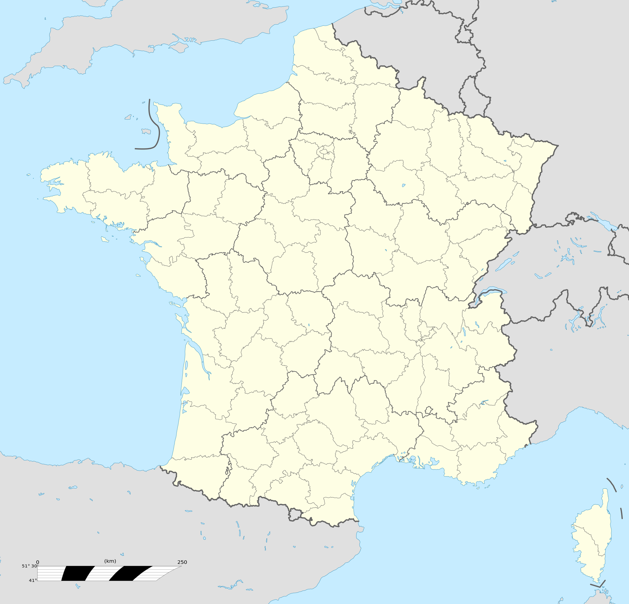
Français : Carte administrative vierge de la France destinée à la géolocalisation, avec régions et départements distingués.
Échelle approximative : 1:3 000 000
English: Blank administrative map of France for geo-location purpose, with regions and departements distinguished.
Approximate scale : 1:3,000,000
Projection équirectangulaire, données WGS84
Limites géographiques de la carte :
|
| ದಿನಾಂಕ | |
| ಆಕರ |
This file was derived from: France location map-Regions and departements-2015.svg |
| ಕರ್ತೃ | Superbenjamin |
| ಇತರೆ ಆವೃತ್ತಿಗಳು |
|
| SVG genesis | This locator map was created with Adobe Illustrator, and with Inkscape. This locator map uses embedded text/digits. |

ಪರವಾನಗಿ
I, the copyright holder of this work, hereby publish it under the following license:
This file is licensed under the Creative Commons Attribution-Share Alike 4.0 International license.
- ನೀವು ಮುಕ್ತ:
- ಹಂಚಿಕೆಗೆ – ಕೆಲಸವನ್ನು ನಕಲು ಮಾಡಲು, ವಿತರಣೆ ಮತ್ತು ಸಾಗಿಸಲು
- ರೀಮಿಕ್ಸ್ ಮಾಡಲು – ಕೆಲಸವನ್ನು ಬಳಸಿಕೊಳ್ಳಲು
- ಈ ಕೆಳಗಿನ ಷರತ್ತುಗಳಲ್ಲಿ:
- ವೈಶಿಷ್ಟ್ಯ – ನೀವು ಸೂಕ್ತವಾದ ಕ್ರೆಡಿಟ್ ನೀಡಬೇಕು, ಪರವಾನಗಿಗೆ ಲಿಂಕ್ ಅನ್ನು ಒದಗಿಸಬೇಕು ಮತ್ತು ಯಾವುದೇ ಬದಲಾವಣೆಗಳನ್ನು ಮಾಡಿದ್ದರೆ ಸೂಚಿಸಬೇಕು. ನೀವು ಯಾವುದೇ ಸಮಂಜಸವಾದ ರೀತಿಯಲ್ಲಿ ಮಾಡಬಹುದು, ಆದರೆ ಪರವಾನಗಿದಾರರು ನಿಮ್ಮನ್ನು ಅಥವಾ ನಿಮ್ಮ ಯಾವುದೇ ಬಳಕೆಯನ್ನು ಅನುಮೋದಿಸಿದಂತೆ ರೀತಿಯಲ್ಲಿ ಉಪಯೋಗಿಸಬಾರದು.
- ಇರುವುದರಂತೆಯೇ ಹಂಚು – ನೀವು ರೀಮಿಕ್ಸ್ ಮಾಡಿದರೆ, ರೂಪಾಂತರಗೊಳಿಸಿದರೆ ಅಥವಾ ವಸ್ತುವಿನ ಮೇಲೆ ನಿರ್ಮಿಸಿದರೆ, ನಿಮ್ಮ ಕೊಡುಗೆಗಳನ್ನು ನೀವು ಮೂಲದಂತೆ ಅದೇ ಅಥವಾ ಹೊಂದಾಣಿಕೆಯ ಪರವಾನಗಿ ಅಡಿಯಲ್ಲಿ ವಿತರಿಸಬೇಕು.
ಕಡತದ ಇತಿಹಾಸ
ದಿನ/ಕಾಲ ಒತ್ತಿದರೆ ಆ ಸಮಯದಲ್ಲಿ ಈ ಕಡತದ ವಸ್ತುಸ್ಥಿತಿ ತೋರುತ್ತದೆ.
| ದಿನ/ಕಾಲ | ಕಿರುನೋಟ | ಆಯಾಮಗಳು | ಬಳಕೆದಾರ | ಟಿಪ್ಪಣಿ | |
|---|---|---|---|---|---|
| ಪ್ರಸಕ್ತ | ೧೯:೧೬, ೧೯ ಅಕ್ಟೋಬರ್ ೨೦೧೭ | | ೨,೦೦೦ × ೧,೯೨೨ (೫೫೧ KB) | Sting | No borders over the Lake of Constance |
| ೧೪:೪೧, ೨ ಜನವರಿ ೨೦೧೬ |  | ೨,೦೦೦ × ೧,೯೨೨ (೫೪೬ KB) | Superbenjamin | User created page with UploadWizard |
ಕಡತ ಬಳಕೆ
ಈ ಕೆಳಗಿನ 5 ಪುಟಗಳು ಈ ಚಿತ್ರಕ್ಕೆ ಸಂಪರ್ಕ ಹೊಂದಿವೆ:
ಜಾಗತಿಕ ಕಡತ ಉಪಯೋಗ
ಈ ಕಡತವನ್ನು ಕೆಳಗಿನ ಬೇರೆ ವಿಕಿಗಳೂ ಉಪಯೋಗಿಸುತ್ತಿವೆ:
- af.wikipedia.org ಮೇಲೆ ಬಳಕೆ
- Rugbywêreldbeker 1999
- Mont-Saint-Michel
- Quimperlé
- Dinard
- Camembert (dorp)
- Dives-sur-Mer
- Deauville
- Crécy-en-Ponthieu
- Cannes
- Villeneuve-d'Ascq
- Antibes
- Menton
- Lascaux
- Rennes-le-Château
- Aigues-Mortes
- Cluny
- La Grande-Motte
- Grasse
- Avranches
- Saint-Jean-Cap-Ferrat
- Honfleur
- Monte Carlo
- Villefranche-sur-Saône
- Arles
- Saint-Dié-des-Vosges
- Vannes
- Pontivy
- Cassis
- Neuf-Brisach
- Val Thorens
- Indre
- Neuilly-sur-Seine
- Nanterre
- Millau
- Chamonix-Mont-Blanc
- Gourdon (Alpes-Maritimes)
- Le Faou
- La Roque-Gageac
- Riquewihr
- Locronan
- Eus
- Châteauneuf-du-Pape
- Arcachon
- Saint-Jean-de-Luz
- Apt (Vaucluse)
- Auray
- Nancy
- Rugbywêreldbeker 2007
- Lens, Pas-de-Calais
- Mont Ventoux
ಈ ಫೈಲ್ನ ಹೆಚ್ಚು ಜಾಗತಿಕ ಬಳಕೆಯನ್ನು ವೀಕ್ಷಿಸಿ.