
ಚಿತ್ರ:Dominica location map.svg

Size of this PNG preview of this SVG file: ೫೨೫ × ೫೯೯ ಪಿಕ್ಸೆಲ್ಗಳು. ಇತರ ರೆಸಲ್ಯೂಶನ್ಗಳು: ೨೧೦ × ೨೪೦ ಪಿಕ್ಸೆಲ್ಗಳು | ೪೨೧ × ೪೮೦ ಪಿಕ್ಸೆಲ್ಗಳು | ೬೭೩ × ೭೬೮ ಪಿಕ್ಸೆಲ್ಗಳು | ೮೯೭ × ೧,೦೨೪ ಪಿಕ್ಸೆಲ್ಗಳು | ೧,೭೯೪ × ೨,೦೪೮ ಪಿಕ್ಸೆಲ್ಗಳು | ೧,೧೦೪ × ೧,೨೬೦ ಪಿಕ್ಸೆಲ್ಗಳು.
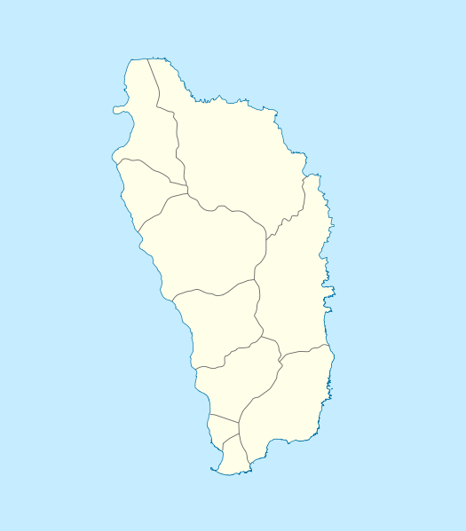
ಮೂಲ ಕಡತ (SVG ಫೈಲು, ಸುಮಾರಾಗಿ ೧,೧೦೪ × ೧,೨೬೦ ಚಿತ್ರಬಿಂದುಗಳು, ಫೈಲಿನ ಗಾತ್ರ: ೭೮ KB)
ಈ ಫೈಲು ವಿಕಿಮೀಡಿಯ ಕಾಮನ್ಸ್ನಲ್ಲಿ ಇರುವುದು. ಅಲ್ಲಿನ ವಿವರಣೆ ಪುಟವನ್ನೇ ಕೆಳಗೆ ತೋರಿಸಲಾಗಿದೆ. ಕಾಮನ್ಸ್ ಕೃತಿಸ್ವಾಮ್ಯತೆಯಿಂದ ಮುಕ್ತ ಫೈಲುಗಳ ಒಂದು ಆಗರ. ಅಲ್ಲಿ ನೀವೂ ಸಹಕರಿಸಬಹುದು. |
ಸಾರಾಂಶ
| ವಿವರ |
Deutsch: Positionskarte von Dominica
Geographische Begrenzung der Karte:
English: Location map of Dominica
Geographic limits of the map:
|
||||||||||||
| ದಿನಾಂಕ | |||||||||||||
| ಆಕರ | ಸ್ವಂತ ಕೆಲಸ | ||||||||||||
| ಕರ್ತೃ | NordNordWest | ||||||||||||
| ಅನುಮತಿ (ಈ ಕಡತವನ್ನು ಮರುಬಳಕೆ ಮಾಡಲಾಗುತ್ತಿದೆ) |
|

|
This map has been made or improved in the German Kartenwerkstatt (Map Lab). You can propose maps to improve as well.
|
ಕಡತದ ಇತಿಹಾಸ
ದಿನ/ಕಾಲ ಒತ್ತಿದರೆ ಆ ಸಮಯದಲ್ಲಿ ಈ ಕಡತದ ವಸ್ತುಸ್ಥಿತಿ ತೋರುತ್ತದೆ.
| ದಿನ/ಕಾಲ | ಕಿರುನೋಟ | ಆಯಾಮಗಳು | ಬಳಕೆದಾರ | ಟಿಪ್ಪಣಿ | |
|---|---|---|---|---|---|
| ಪ್ರಸಕ್ತ | ೧೫:೪೮, ೧೭ ಡಿಸೆಂಬರ್ ೨೦೦೯ | | ೧,೧೦೪ × ೧,೨೬೦ (೭೮ KB) | NordNordWest | == {{int:filedesc}} == {{Information |Description= {{de|Positionskarte von Dominica}} Geographische Begrenzung der Karte: * N: 15.7° N * S: 15.15° N * W: 61.6° W * O: 61.1° W {{en|Location map of Dominica}} Geographic |
ಕಡತ ಬಳಕೆ
ಈ ಕೆಳಗಿನ ಪುಟವು ಈ ಚಿತ್ರಕ್ಕೆ ಸಂಪರ್ಕ ಹೊಂದಿದೆ:
ಜಾಗತಿಕ ಕಡತ ಉಪಯೋಗ
ಈ ಕಡತವನ್ನು ಕೆಳಗಿನ ಬೇರೆ ವಿಕಿಗಳೂ ಉಪಯೋಗಿಸುತ್ತಿವೆ:
- af.wikipedia.org ಮೇಲೆ ಬಳಕೆ
- an.wikipedia.org ಮೇಲೆ ಬಳಕೆ
- ar.wikipedia.org ಮೇಲೆ ಬಳಕೆ
- ast.wikipedia.org ಮೇಲೆ ಬಳಕೆ
- ba.wikipedia.org ಮೇಲೆ ಬಳಕೆ
- be-tarask.wikipedia.org ಮೇಲೆ ಬಳಕೆ
- be.wikipedia.org ಮೇಲೆ ಬಳಕೆ
- bg.wikipedia.org ಮೇಲೆ ಬಳಕೆ
- bn.wikipedia.org ಮೇಲೆ ಬಳಕೆ
- bs.wikipedia.org ಮೇಲೆ ಬಳಕೆ
- ceb.wikipedia.org ಮೇಲೆ ಬಳಕೆ
- Plantilya:Location map Dominica
- Saint Paul
- Saint John
- Saint George
- Jenny Point
- Indian River
- Noble
- Salisbury
- Douglas Point
- Saint Joseph (pagklaro)
- Sugarloaf
- North River
- Cape Melville
- Saint Davids Bay
- Tweed River
- Scotts Head
- Saint Joseph River
- Rosalie
- National Park
- Lagoon River
- Clyde River
- Middle Bay
- Douglas Bay
- Rough Bay
- Fresh Water Lake
- Woodford Hill
- Bellevue Mountain
- Grand Bay
- Hampstead
- Hillsborough Bay
ಈ ಫೈಲ್ನ ಹೆಚ್ಚು ಜಾಗತಿಕ ಬಳಕೆಯನ್ನು ವೀಕ್ಷಿಸಿ.