
ಚಿತ್ರ:Canada location map.svg

Size of this PNG preview of this SVG file: ೭೦೬ × ೫೯೯ ಪಿಕ್ಸೆಲ್ಗಳು. ಇತರ ರೆಸಲ್ಯೂಶನ್ಗಳು: ೨೮೩ × ೨೪೦ ಪಿಕ್ಸೆಲ್ಗಳು | ೫೬೬ × ೪೮೦ ಪಿಕ್ಸೆಲ್ಗಳು | ೯೦೫ × ೭೬೮ ಪಿಕ್ಸೆಲ್ಗಳು | ೧,೨೦೭ × ೧,೦೨೪ ಪಿಕ್ಸೆಲ್ಗಳು | ೨,೪೧೩ × ೨,೦೪೮ ಪಿಕ್ಸೆಲ್ಗಳು | ೧,೦೮೪ × ೯೨೦ ಪಿಕ್ಸೆಲ್ಗಳು.
ಮೂಲ ಕಡತ (SVG ಫೈಲು, ಸುಮಾರಾಗಿ ೧,೦೮೪ × ೯೨೦ ಚಿತ್ರಬಿಂದುಗಳು, ಫೈಲಿನ ಗಾತ್ರ: ೧೫೫ KB)
ಈ ಫೈಲು ವಿಕಿಮೀಡಿಯ ಕಾಮನ್ಸ್ನಲ್ಲಿ ಇರುವುದು. ಅಲ್ಲಿನ ವಿವರಣೆ ಪುಟವನ್ನೇ ಕೆಳಗೆ ತೋರಿಸಲಾಗಿದೆ. ಕಾಮನ್ಸ್ ಕೃತಿಸ್ವಾಮ್ಯತೆಯಿಂದ ಮುಕ್ತ ಫೈಲುಗಳ ಒಂದು ಆಗರ. ಅಲ್ಲಿ ನೀವೂ ಸಹಕರಿಸಬಹುದು. |
ಸಾರಾಂಶ
| ವಿವರ |
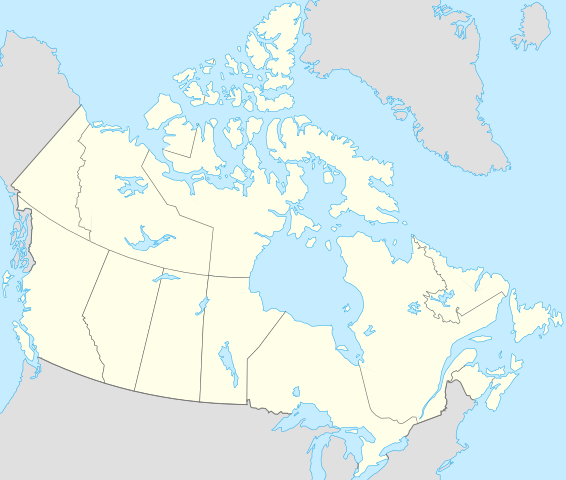
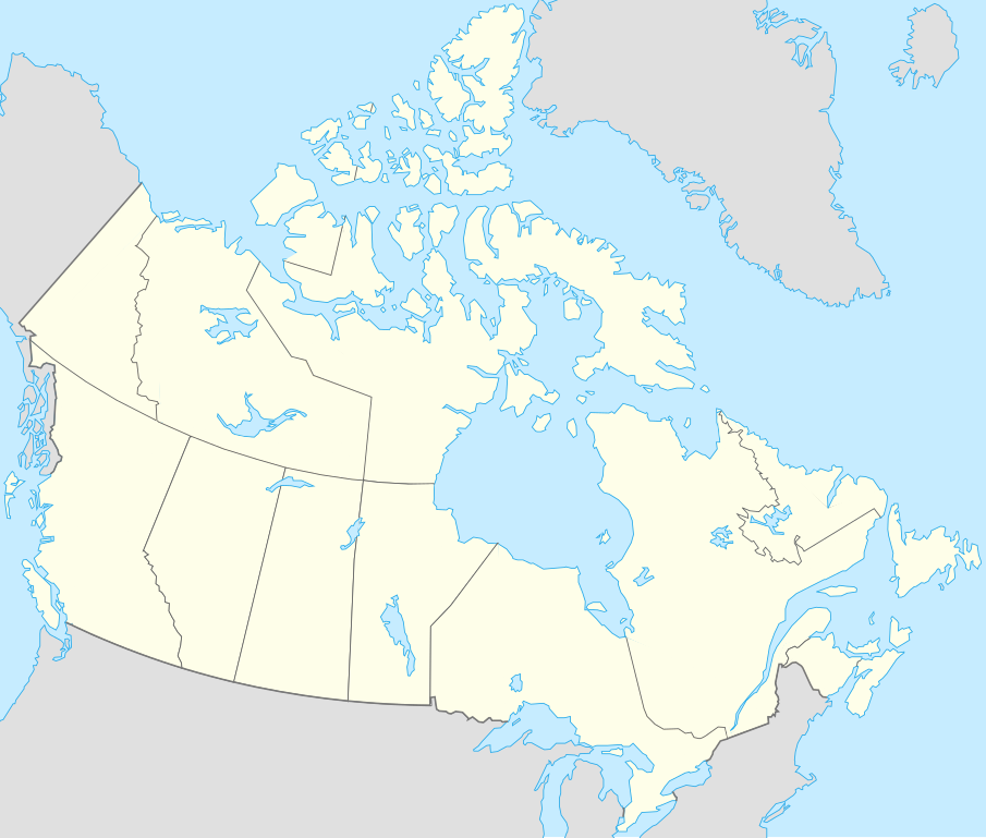
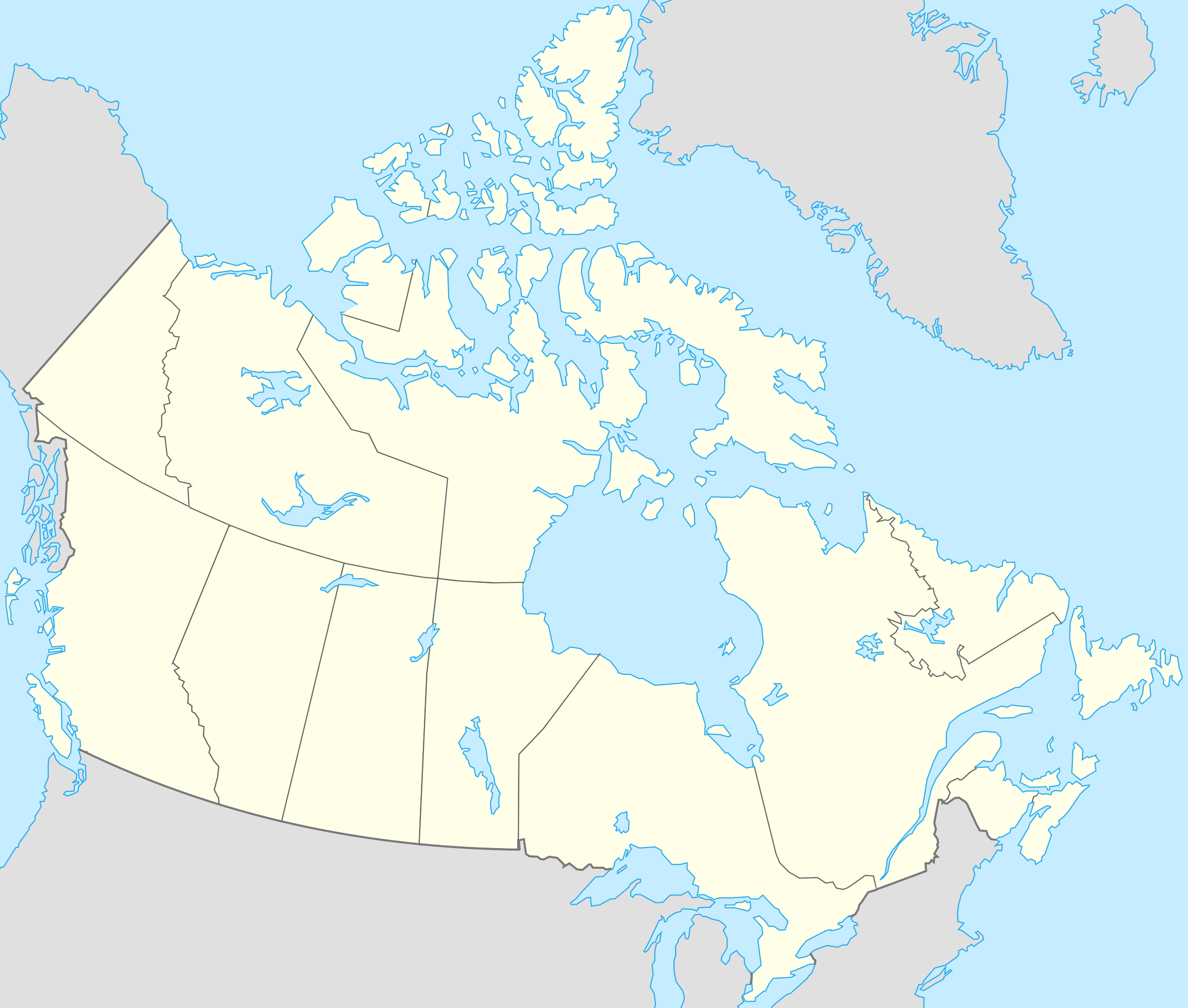
Français : Version recadrée et épurée de Carte administrative du Canada.svg pour la géolocation du Canada. Le cadrage est x=80px, y=166px, height=920, width=1084. Quelques positions :
English: cropped version of Carte administrative du Canada.svg for map location. |
|||||||||||||||||||||
| ದಿನಾಂಕ | ||||||||||||||||||||||
| ಆಕರ | Canada (geolocalisation).svg by STyx | |||||||||||||||||||||
| ಕರ್ತೃ | Yug | |||||||||||||||||||||
| ಇತರೆ ಆವೃತ್ತಿಗಳು |
Derivative works of this file: |
|||||||||||||||||||||
| SVG genesis |
|


.svg)
.svg)
}}
I, the copyright holder of this work, hereby publish it under the following licenses:
This file is licensed under the Creative Commons Attribution-Share Alike 2.5 Generic, 2.0 Generic and 1.0 Generic license.
- ನೀವು ಮುಕ್ತ:
- ಹಂಚಿಕೆಗೆ – ಕೆಲಸವನ್ನು ನಕಲು ಮಾಡಲು, ವಿತರಣೆ ಮತ್ತು ಸಾಗಿಸಲು
- ರೀಮಿಕ್ಸ್ ಮಾಡಲು – ಕೆಲಸವನ್ನು ಬಳಸಿಕೊಳ್ಳಲು
- ಈ ಕೆಳಗಿನ ಷರತ್ತುಗಳಲ್ಲಿ:
- ವೈಶಿಷ್ಟ್ಯ – ನೀವು ಸೂಕ್ತವಾದ ಕ್ರೆಡಿಟ್ ನೀಡಬೇಕು, ಪರವಾನಗಿಗೆ ಲಿಂಕ್ ಅನ್ನು ಒದಗಿಸಬೇಕು ಮತ್ತು ಯಾವುದೇ ಬದಲಾವಣೆಗಳನ್ನು ಮಾಡಿದ್ದರೆ ಸೂಚಿಸಬೇಕು. ನೀವು ಯಾವುದೇ ಸಮಂಜಸವಾದ ರೀತಿಯಲ್ಲಿ ಮಾಡಬಹುದು, ಆದರೆ ಪರವಾನಗಿದಾರರು ನಿಮ್ಮನ್ನು ಅಥವಾ ನಿಮ್ಮ ಯಾವುದೇ ಬಳಕೆಯನ್ನು ಅನುಮೋದಿಸಿದಂತೆ ರೀತಿಯಲ್ಲಿ ಉಪಯೋಗಿಸಬಾರದು.
- ಇರುವುದರಂತೆಯೇ ಹಂಚು – ನೀವು ರೀಮಿಕ್ಸ್ ಮಾಡಿದರೆ, ರೂಪಾಂತರಗೊಳಿಸಿದರೆ ಅಥವಾ ವಸ್ತುವಿನ ಮೇಲೆ ನಿರ್ಮಿಸಿದರೆ, ನಿಮ್ಮ ಕೊಡುಗೆಗಳನ್ನು ನೀವು ಮೂಲದಂತೆ ಅದೇ ಅಥವಾ ಹೊಂದಾಣಿಕೆಯ ಪರವಾನಗಿ ಅಡಿಯಲ್ಲಿ ವಿತರಿಸಬೇಕು.

|
GNU ಉಚಿತ ಡಾಕ್ಯುಮೆಂಟೇಶನ್ ಪರವಾನಗಿ, ಆವೃತ್ತಿಯ ನಿಯಮಗಳ ಅಡಿಯಲ್ಲಿ ಈ ಡಾಕ್ಯುಮೆಂಟ್ ಅನ್ನು ನಕಲಿಸಲು, ವಿತರಿಸಲು ಮತ್ತು/ಅಥವಾ ಮಾರ್ಪಡಿಸಲು ಅನುಮತಿಯನ್ನು ನೀಡಲಾಗಿದೆ. 1.2 ಅಥವಾ ಯಾವುದೇ ನಂತರದ ಆವೃತ್ತಿಯನ್ನು ಉಚಿತ ಸಾಫ್ಟ್ವೇರ್ ಫೌಂಡೇಶನ್ ಪ್ರಕಟಿಸಿದೆ; ಯಾವುದೇ ಅಸ್ಥಿರ ವಿಭಾಗಗಳಿಲ್ಲದೆ, ಮುಖ ಪಠ್ಯಗಳಿಲ್ಲ ಮತ್ತು ಹಿಂದಿನ ಕವರ್ ಪಠ್ಯಗಳಿಲ್ಲ. ಪರವಾನಗಿಯ ಪ್ರತಿಯನ್ನು GNU ಉಚಿತ ಡಾಕ್ಯುಮೆಂಟೇಶನ್ ಪರವಾನಗಿ ಎಂಬ ವಿಭಾಗದಲ್ಲಿ ಸೇರಿಸಲಾಗಿದೆ. |
| ಈ ಕಡತ ಕ್ರಿಯೇಟಿವ್ ಕಾಮನ್ಸ್ Attribution -Share Alike 3.0 Unported ಪರವಾನಗಿ ಹೊಂದಿದೆ. | ||
| ||
| This licensing tag was added to this file as part of the GFDL licensing update. |
ನಿಮ್ಮಿಚ್ಛೆಯ ಪರವಾನಗಿಯನ್ನು ನೀವು ಆರಿಸಿಕೊಳ್ಳಬಹುದು.
Original upload log
This image is a derivative work of the following images:
- Canada (geolocalisation).svg licensed with Cc-by-sa-2.5,2.0,1.0, GFDL
- 2007-02-07T01:48:11Z STyx 1084x920 (95884 Bytes) retouche mineure
- 2007-02-07T01:41:09Z STyx 1084x920 (95939 Bytes) {{Information |Description= *{{fr}} Version recadrée et épurée de [[:Image:Carte administrative du Canada.svg]] pour la géolocation du Canada. Le cadrage est x=80px, y=166px, height=920, width=10
Uploaded with derivativeFX
ಕಡತದ ಇತಿಹಾಸ
ದಿನ/ಕಾಲ ಒತ್ತಿದರೆ ಆ ಸಮಯದಲ್ಲಿ ಈ ಕಡತದ ವಸ್ತುಸ್ಥಿತಿ ತೋರುತ್ತದೆ.
| ದಿನ/ಕಾಲ | ಕಿರುನೋಟ | ಆಯಾಮಗಳು | ಬಳಕೆದಾರ | ಟಿಪ್ಪಣಿ | |
|---|---|---|---|---|---|
| ಪ್ರಸಕ್ತ | ೦೦:೫೭, ೧೮ ಏಪ್ರಿಲ್ ೨೦೨೧ | | ೧,೦೮೪ × ೯೨೦ (೧೫೫ KB) | Akeosnhaoe | draw in w:Killiniq Island as part of Nunavut and fix Smallwood Reservoir color |
| ೨೩:೫೪, ೧೬ ಏಪ್ರಿಲ್ ೨೦೨೧ |  | ೧,೦೮೪ × ೯೨೦ (೧೫೫ KB) | Akeosnhaoe | recreate previous 2 edits from the original to fix some borders on the water not being blue | |
| ೨೧:೪೩, ೨೬ ಜನವರಿ ೨೦೧೪ |  | ೧,೦೮೪ × ೯೨೦ (೬೭ KB) | Ras67 | -frame | |
| ೦೪:೨೩, ೧೯ ಜುಲೈ ೨೦೦೮ |  | ೧,೦೮೪ × ೯೨೦ (೧೧೩ KB) | Yug | {{Information |Description= |Source= |Date= |Author= |Permission= |other_versions= }} | |
| ೦೩:೪೮, ೧೮ ಜುಲೈ ೨೦೦೮ |  | ೧,೦೮೪ × ೯೨೦ (೧೫೫ KB) | Yug | {{Information |Description=*{{fr}} Version recadrée et épurée de Image:Carte administrative du Canada.svg pour la géolocation du Canada. Le cadrage est x=80px, y=166px, height=920, width=1084. Quelques positions : <center><table style="border:1px |
ಕಡತ ಬಳಕೆ
ಈ ಕೆಳಗಿನ 12 ಪುಟಗಳು ಈ ಚಿತ್ರಕ್ಕೆ ಸಂಪರ್ಕ ಹೊಂದಿವೆ:
- ಟೆಂಪ್ಲೇಟು:Infobox cave
- ಟೆಂಪ್ಲೇಟು:Infobox cave/doc
- ಟೆಂಪ್ಲೇಟು:Infobox climbing route
- ಟೆಂಪ್ಲೇಟು:Infobox climbing route/doc
- ಟೆಂಪ್ಲೇಟು:Infobox glacier
- ಟೆಂಪ್ಲೇಟು:Infobox glacier/doc
- ಟೆಂಪ್ಲೇಟು:Infobox map/Map display methods
- ಟೆಂಪ್ಲೇಟು:Infobox park
- ಟೆಂಪ್ಲೇಟು:Infobox park/doc
- ಟೆಂಪ್ಲೇಟು:Infobox waterfall
- ಟೆಂಪ್ಲೇಟು:Infobox waterfall/doc
- ಟೆಂಪ್ಲೇಟು:Location map Canada
ಜಾಗತಿಕ ಕಡತ ಉಪಯೋಗ
ಈ ಕಡತವನ್ನು ಕೆಳಗಿನ ಬೇರೆ ವಿಕಿಗಳೂ ಉಪಯೋಗಿಸುತ್ತಿವೆ:
- af.wikipedia.org ಮೇಲೆ ಬಳಕೆ
- als.wikipedia.org ಮೇಲೆ ಬಳಕೆ
- an.wikipedia.org ಮೇಲೆ ಬಳಕೆ
- ar.wikipedia.org ಮೇಲೆ ಬಳಕೆ
- arz.wikipedia.org ಮೇಲೆ ಬಳಕೆ
- ast.wikipedia.org ಮೇಲೆ ಬಳಕೆ
- Gran Premiu de Canadá de 2007
- Gran Premiu de Canadá de 2006
- Gran Premiu de Canadá de 2008
- Montes Rocosos
- Windsor (Ontario)
- Ontario
- Islla del Cabu Bretón
- Nueva Escocia
- Islla Valdés
- Alberta
- Nueva Brunswick
- Nunavut
- Islla Killiniq
- Aeropuertu de Powell River
- London (Ontario)
- Toronto
- York University
- Alert
ಈ ಫೈಲ್ನ ಹೆಚ್ಚು ಜಾಗತಿಕ ಬಳಕೆಯನ್ನು ವೀಕ್ಷಿಸಿ.