
ಚಿತ್ರ:Canada British Columbia location map 2.svg

Size of this PNG preview of this SVG file: ೭೪೦ × ೬೦೦ ಪಿಕ್ಸೆಲ್ಗಳು. ಇತರ ರೆಸಲ್ಯೂಶನ್ಗಳು: ೨೯೬ × ೨೪೦ ಪಿಕ್ಸೆಲ್ಗಳು | ೫೯೩ × ೪೮೦ ಪಿಕ್ಸೆಲ್ಗಳು | ೯೪೮ × ೭೬೮ ಪಿಕ್ಸೆಲ್ಗಳು | ೧,೨೬೪ × ೧,೦೨೪ ಪಿಕ್ಸೆಲ್ಗಳು | ೨,೫೨೮ × ೨,೦೪೮ ಪಿಕ್ಸೆಲ್ಗಳು | ೨,೪೧೯ × ೧,೯೬೦ ಪಿಕ್ಸೆಲ್ಗಳು.
ಮೂಲ ಕಡತ (SVG ಫೈಲು, ಸುಮಾರಾಗಿ ೨,೪೧೯ × ೧,೯೬೦ ಚಿತ್ರಬಿಂದುಗಳು, ಫೈಲಿನ ಗಾತ್ರ: ೧.೫೭ MB)
ಈ ಫೈಲು ವಿಕಿಮೀಡಿಯ ಕಾಮನ್ಸ್ನಲ್ಲಿ ಇರುವುದು. ಅಲ್ಲಿನ ವಿವರಣೆ ಪುಟವನ್ನೇ ಕೆಳಗೆ ತೋರಿಸಲಾಗಿದೆ. ಕಾಮನ್ಸ್ ಕೃತಿಸ್ವಾಮ್ಯತೆಯಿಂದ ಮುಕ್ತ ಫೈಲುಗಳ ಒಂದು ಆಗರ. ಅಲ್ಲಿ ನೀವೂ ಸಹಕರಿಸಬಹುದು. |
| ವಿವರ |
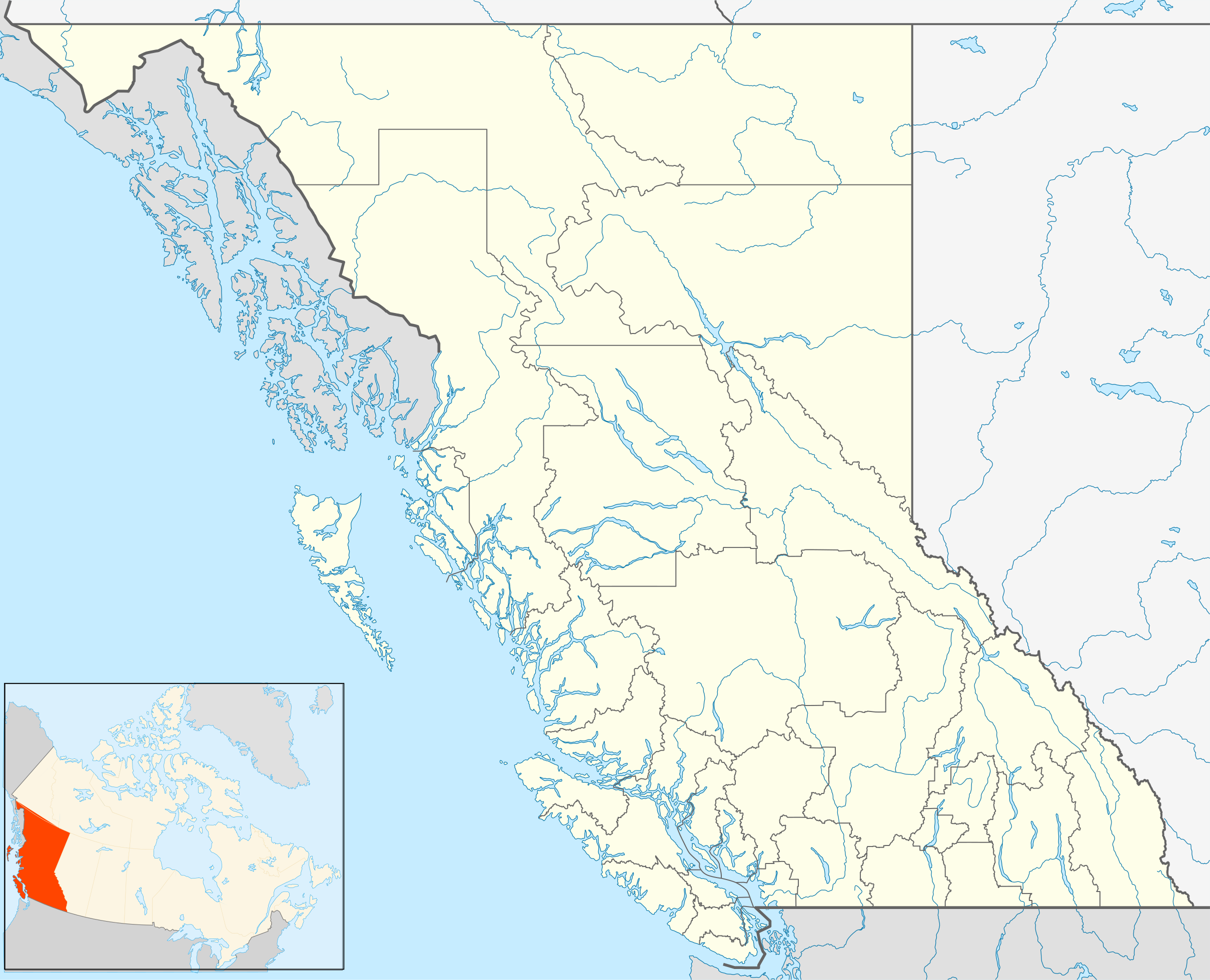
Quadratische Plattkarte, N-S-Streckung 170 %. Geographische Begrenzung der Karte:
Equirectangular projection, N/S stretching 170 %. Geographic limits of the map:
|
| ದಿನಾಂಕ | |
| ಆಕರ | ಸ್ವಂತ ಕೆಲಸ, File:Canada_British_Columbia_location_map.svg by NordNordWest |
| ಕರ್ತೃ | Hanhil (talk) 16:54, 24 September 2009 (UTC) |
| ಅನುಮತಿ (ಈ ಕಡತವನ್ನು ಮರುಬಳಕೆ ಮಾಡಲಾಗುತ್ತಿದೆ) |
I, the copyright holder of this work, hereby publish it under the following license: ಈ ಕಡತ ಕ್ರಿಯೇಟಿವ್ ಕಾಮನ್ಸ್ Attribution
-Share Alike 3.0 Unported ಪರವಾನಗಿ ಹೊಂದಿದೆ.
|
ಕಡತದ ಇತಿಹಾಸ
ದಿನ/ಕಾಲ ಒತ್ತಿದರೆ ಆ ಸಮಯದಲ್ಲಿ ಈ ಕಡತದ ವಸ್ತುಸ್ಥಿತಿ ತೋರುತ್ತದೆ.
| ದಿನ/ಕಾಲ | ಕಿರುನೋಟ | ಆಯಾಮಗಳು | ಬಳಕೆದಾರ | ಟಿಪ್ಪಣಿ | |
|---|---|---|---|---|---|
| ಪ್ರಸಕ್ತ | ೨೦:೩೮, ೧ ಅಕ್ಟೋಬರ್ ೨೦೧೮ | | ೨,೪೧೯ × ೧,೯೬೦ (೧.೫೭ MB) | Allice Hunter | Reverted to version as of 20:46, 7 April 2013 (UTC) |
| ೦೮:೩೬, ೪ ಆಗಸ್ಟ್ ೨೦೧೮ |  | ೨,೪೧೯ × ೧,೯೬೦ (೧.೫೩ MB) | Allice Hunter | Comox Valley District | |
| ೦೨:೧೬, ೮ ಏಪ್ರಿಲ್ ೨೦೧೩ |  | ೨,೪೧೯ × ೧,೯೬೦ (೧.೫೭ MB) | Hanhil | undid the version of 10 mar 2011 18:37 where the northern part of the Queen Charlotte Islands were gone | |
| ೨೨:೦೭, ೧೦ ಮಾರ್ಚ್ ೨೦೧೧ |  | ೨,೪೧೯ × ೧,೯೬೦ (೧.೦೧ MB) | Hanhil | change in line with http://commons.wikimedia.org/w/index.php?title=File%3ACanada_British_Columbia_location_map.svg&action=historysubmit&diff=51783638&oldid=44779970 | |
| ೨೨:೨೪, ೨೪ ಸೆಪ್ಟೆಂಬರ್ ೨೦೦೯ |  | ೨,೪೧೯ × ೧,೯೬೦ (೧.೫೮ MB) | Hanhil | {{Information |Description= {{de|Positionskarte von British Columbia, Kanada}} Quadratische Plattkarte, N-S-Streckung 170 %. Geographische Begrenzung der Karte: * N: 60.3° N * S: 48.1° N * W: 139.3° W * O: 113.7� |
ಕಡತ ಬಳಕೆ
ಈ ಕೆಳಗಿನ ಪುಟವು ಈ ಚಿತ್ರಕ್ಕೆ ಸಂಪರ್ಕ ಹೊಂದಿದೆ:
ಜಾಗತಿಕ ಕಡತ ಉಪಯೋಗ
ಈ ಕಡತವನ್ನು ಕೆಳಗಿನ ಬೇರೆ ವಿಕಿಗಳೂ ಉಪಯೋಗಿಸುತ್ತಿವೆ:
- af.wikipedia.org ಮೇಲೆ ಬಳಕೆ
- ar.wikipedia.org ಮೇಲೆ ಬಳಕೆ
- ast.wikipedia.org ಮೇಲೆ ಬಳಕೆ
- azb.wikipedia.org ಮೇಲೆ ಬಳಕೆ
- ba.wikipedia.org ಮೇಲೆ ಬಳಕೆ
- bg.wikipedia.org ಮೇಲೆ ಬಳಕೆ
- bn.wikipedia.org ಮೇಲೆ ಬಳಕೆ
- ca.wikipedia.org ಮೇಲೆ ಬಳಕೆ
- ceb.wikipedia.org ಮೇಲೆ ಬಳಕೆ
- en.wikipedia.org ಮೇಲೆ ಬಳಕೆ
- Victoria, British Columbia
- Vancouver
- Prince George, British Columbia
- Kelowna
- Abbotsford, British Columbia
- Nelson, British Columbia
- Fernie, British Columbia
- 108 Mile Ranch
- 100 Mile House
- South Cariboo Regional Airport
- Haida Gwaii
- Barkerville
- Whistler, British Columbia
- List of people from British Columbia
- Nanaimo
- Lillooet
- Hudson's Hope
- Port Alberni
- Saanich, British Columbia
- Kamloops
- Chilliwack
- Vernon, British Columbia
- Mission, British Columbia
- Penticton
- Campbell River, British Columbia
- Quesnel, British Columbia
- Cache Creek, British Columbia
- Field, British Columbia
- Prince Rupert, British Columbia
- Esquimalt
- Gibsons
- Parksville, British Columbia
- Cranbrook, British Columbia
- Fort St. John, British Columbia
ಈ ಫೈಲ್ನ ಹೆಚ್ಚು ಜಾಗತಿಕ ಬಳಕೆಯನ್ನು ವೀಕ್ಷಿಸಿ.